Takeoff
- Take-off23 m · Source: ParaglidingEarth
23 m · 43.4230, -8.2584 · Directions
Ridge site · 23 m takeoff
Acantilados de Chanteiro y Ares is a hill site in Spain with a recorded launch elevation of 23 m. No launch directions are recorded yet. Pilots fly it for ridge soaring, using foot launch.
23 m · 43.4230, -8.2584 · Directions
Flyable days per month in a typical year.
Flyable days for Acantilados de Chanteiro y Ares are on the way. We are scoring ten years of weather for every site, month by month, against this site, its region and the sites around it.
Public transport directions from A Coruña Airport (Google Maps)All travel options from A Coruña Airport (Rome2Rio)
No notes yet. Flown Acantilados de Chanteiro y Ares? Tell the next pilot what to expect.
Hour by hour, live wind and stations on the map
Forecasts are planning aids, not safety clearance. Check current observations, official airspace and NOTAM information, local rules and your own experience before every flight.
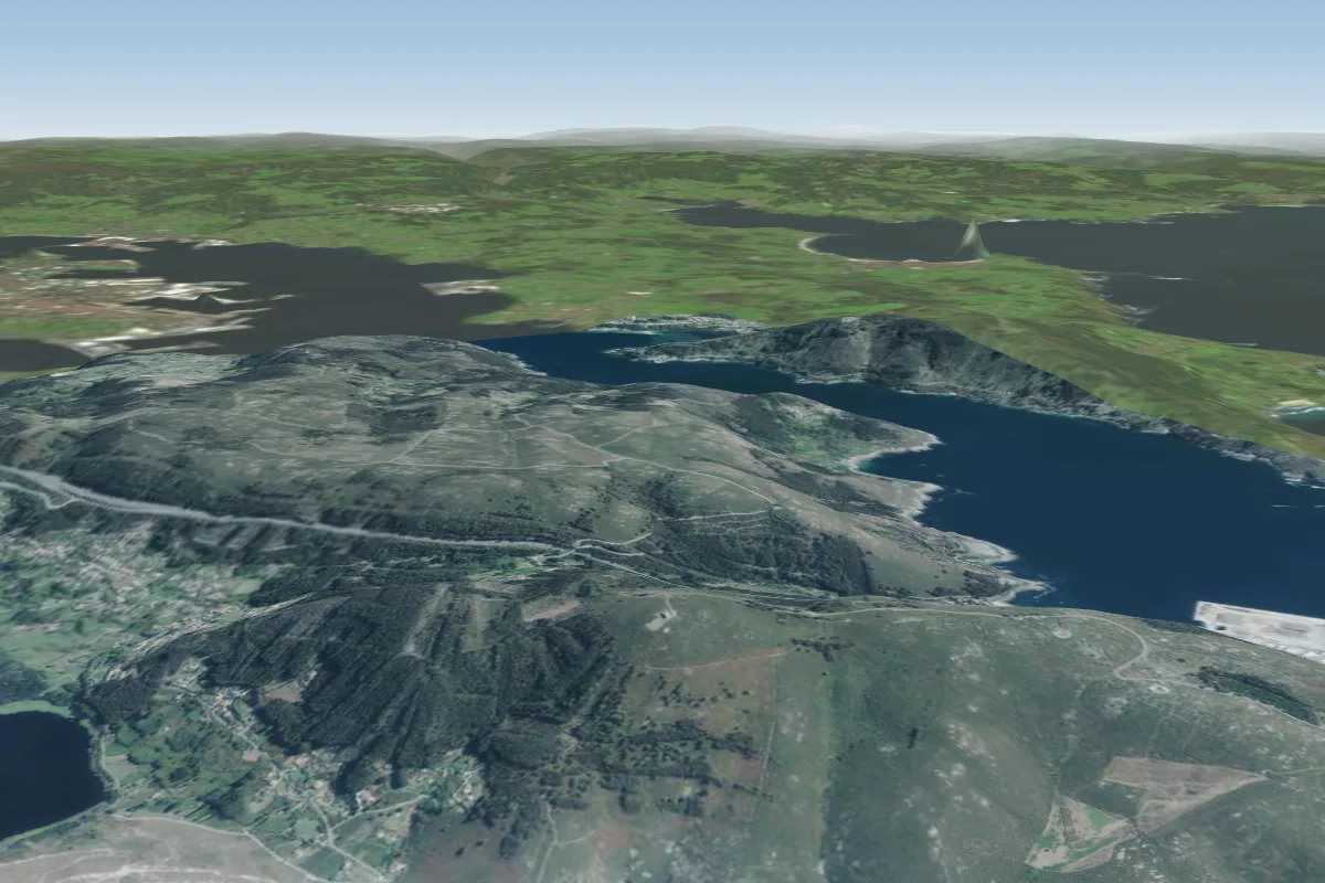 Monte Ventoso8 km NW · Faces NW–NWorks in other winds
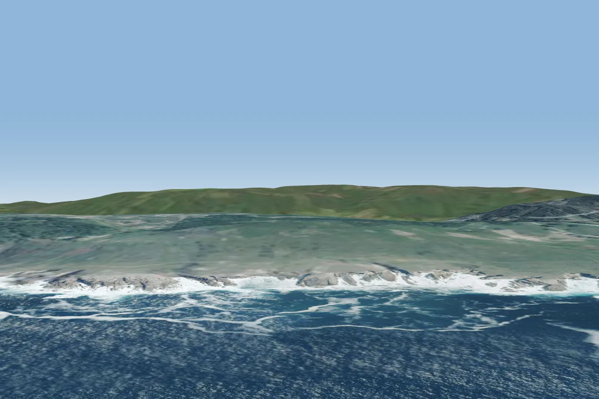 Lobadiz-Islas Gabeiras12 km NW
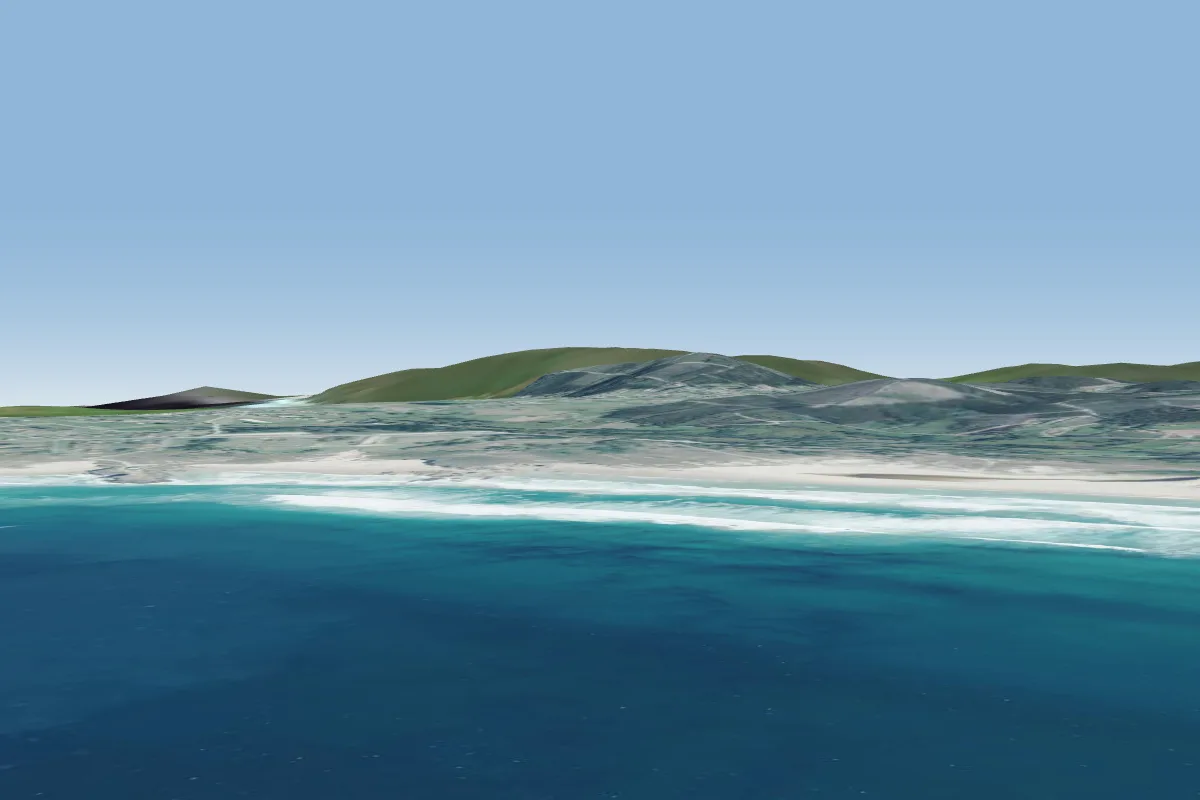 esmelle13 km N · Faces WWorks in other winds
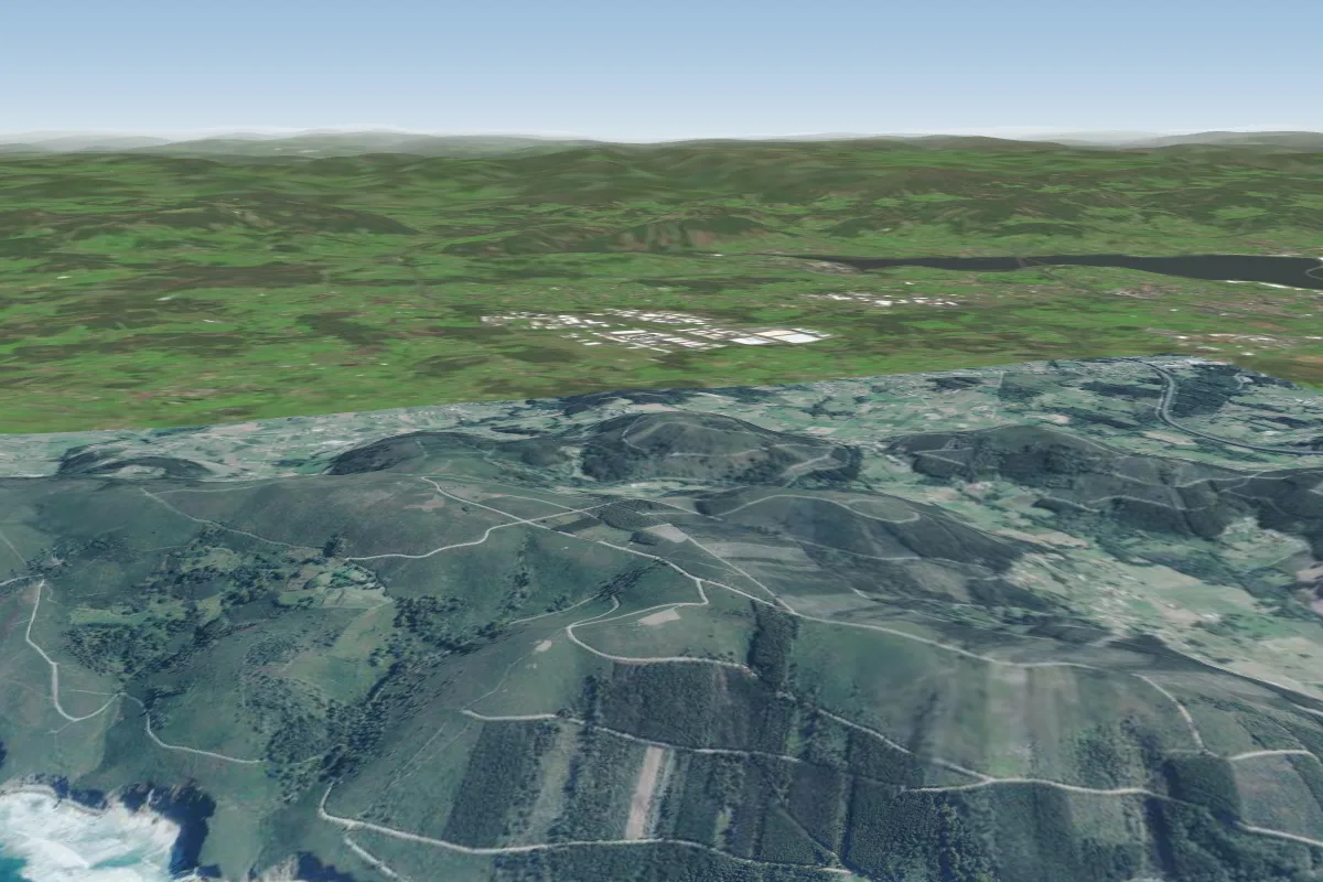 Ponzos14 km N · Faces W–NWWorks in other winds
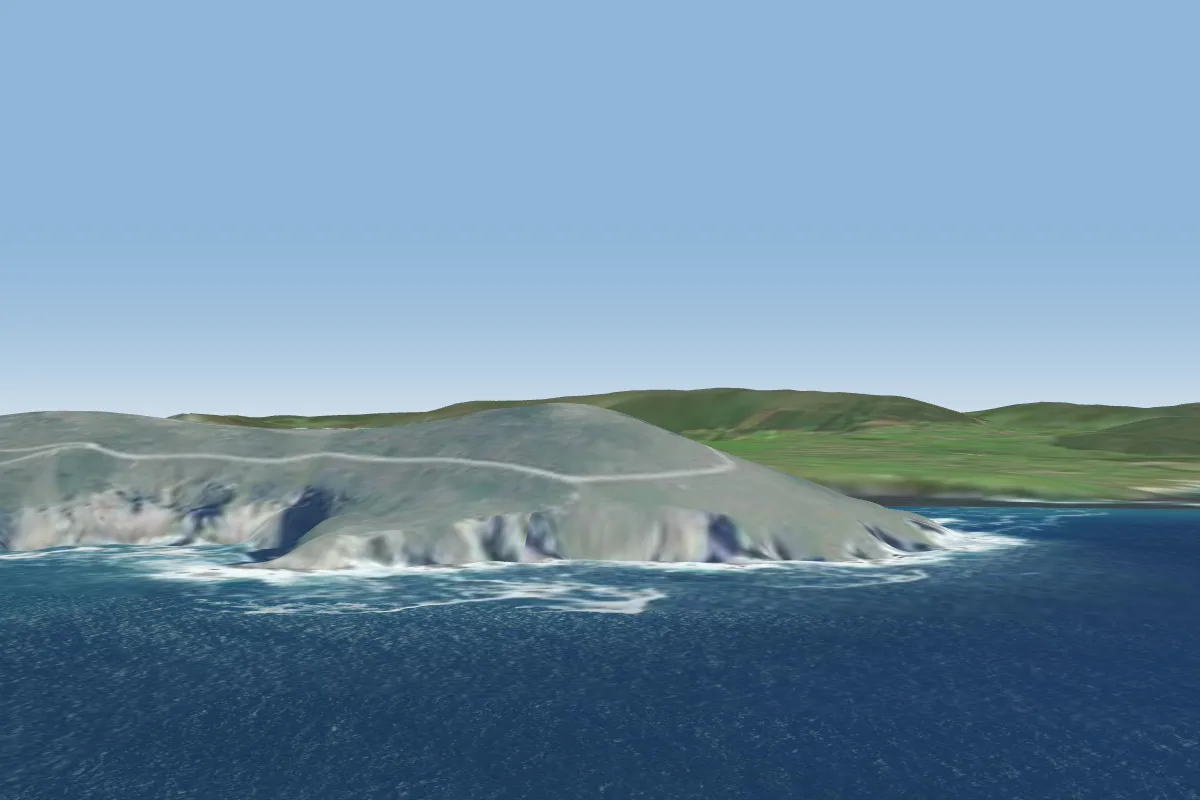 Cabo Prior15 km N
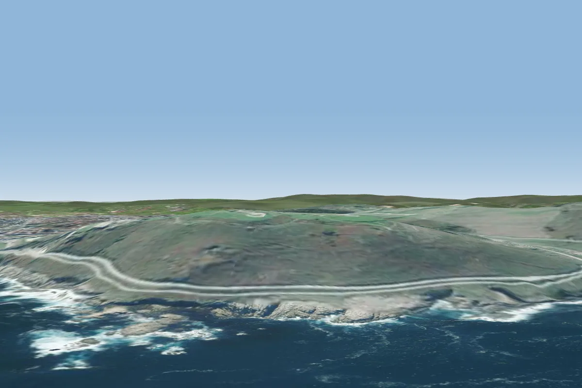 Monte San Pedro, A Coruña15 km W · Faces N–NEWorks in other winds
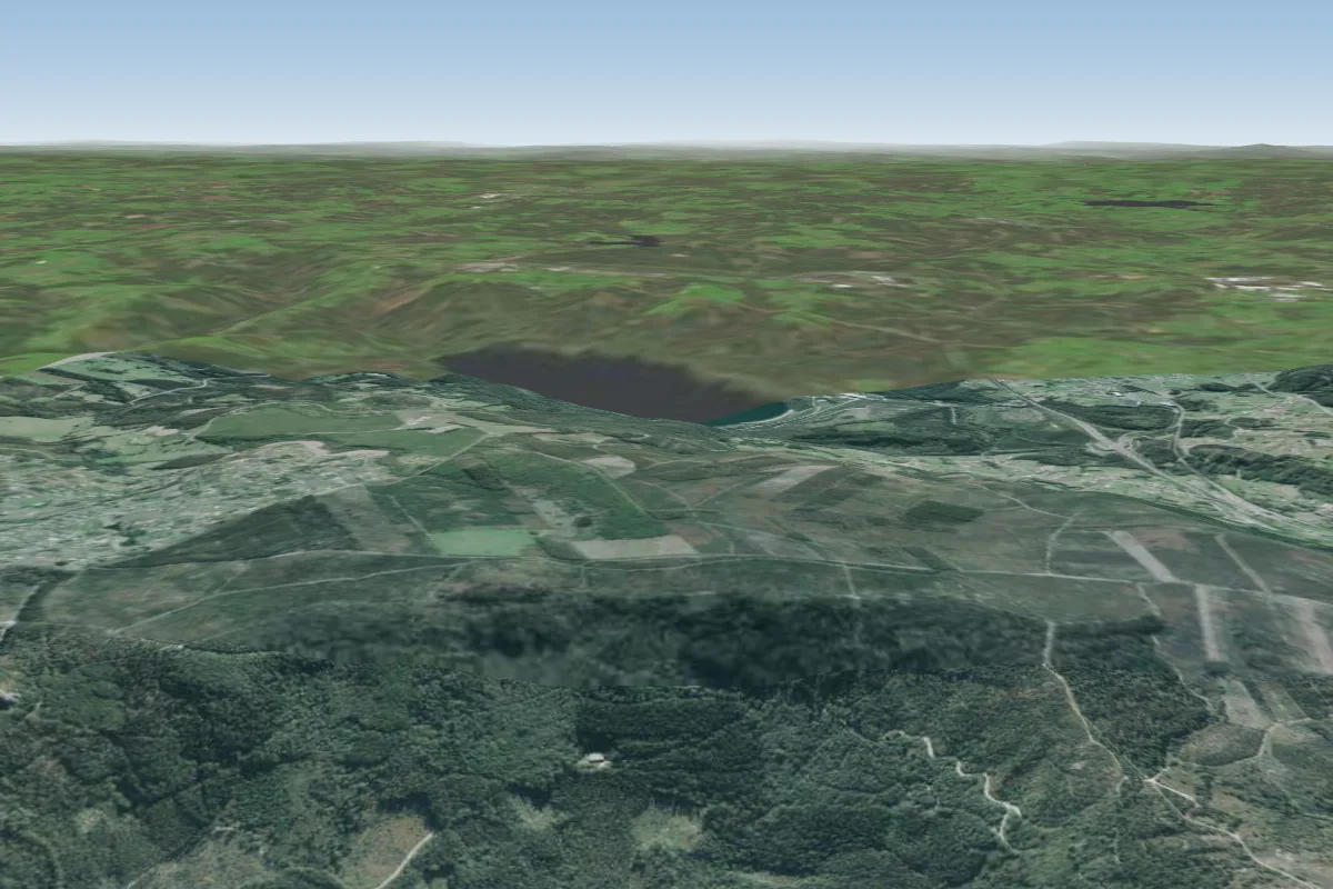 Monte Xalo26 km SW
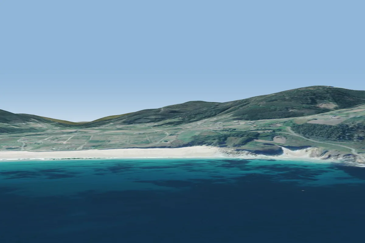 Razo40 km W · Faces NW–NEWorks in other winds