Takeoff
- Take-offMain take off is mostly stone slab. It can be slippery when wet. Few options to lay glider just below the building.783 m · Source: ParaglidingEarth
783 m · 41.7989, -8.6883 · Directions
E to SE facing site · 783 m takeoff
Senhora do Minho is a flying site in Portugal with a recorded launch elevation of 783 m. It works best in easterly and south-easterly winds, and can also work in north-easterly and southerly winds.
783 m · 41.7989, -8.6883 · Directions
Flyable days per month in a typical year.
Flyable days for Senhora do Minho are on the way. We are scoring ten years of weather for every site, month by month, against this site, its region and the sites around it.
Public transport directions from Vigo Airport (Google Maps)All travel options from Vigo Airport (Rome2Rio)
No notes yet. Flown Senhora do Minho? Tell the next pilot what to expect.
Hour by hour, live wind and stations on the map
Forecasts are planning aids, not safety clearance. Check current observations, official airspace and NOTAM information, local rules and your own experience before every flight.
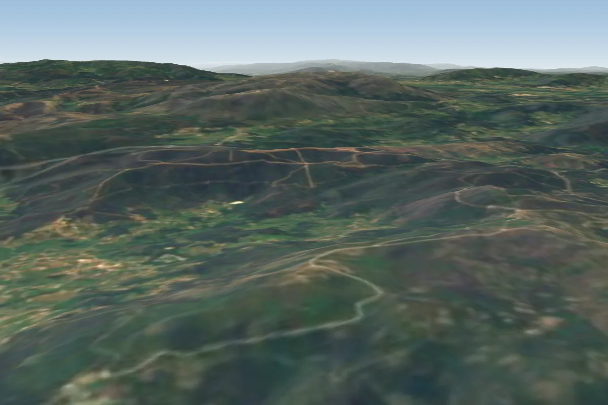 Capela de Santo Antao13 km NW · Faces WWorks in other winds
 Caminha16 km WPossible XC from here on a E day, 16 km downwind
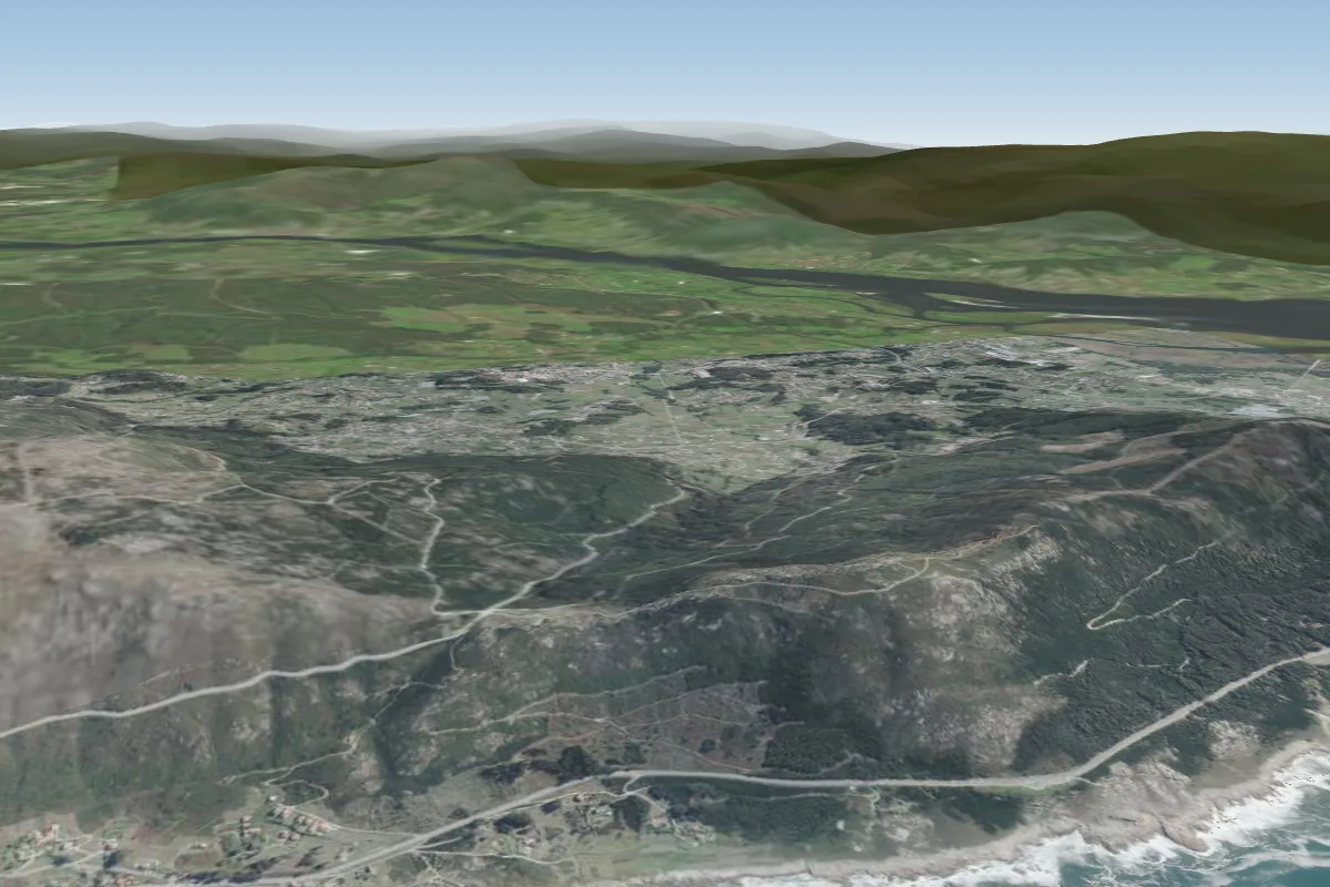 Sanxian22 km NWPossible XC from here on a SE day, 22 km downwind
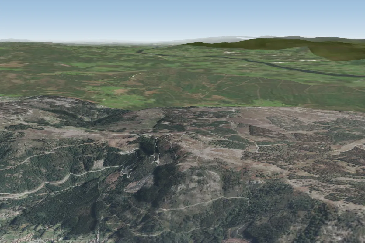 Oia26 km NW · Faces WPossible XC from here on a SE day, 26 km downwindWorks in other winds
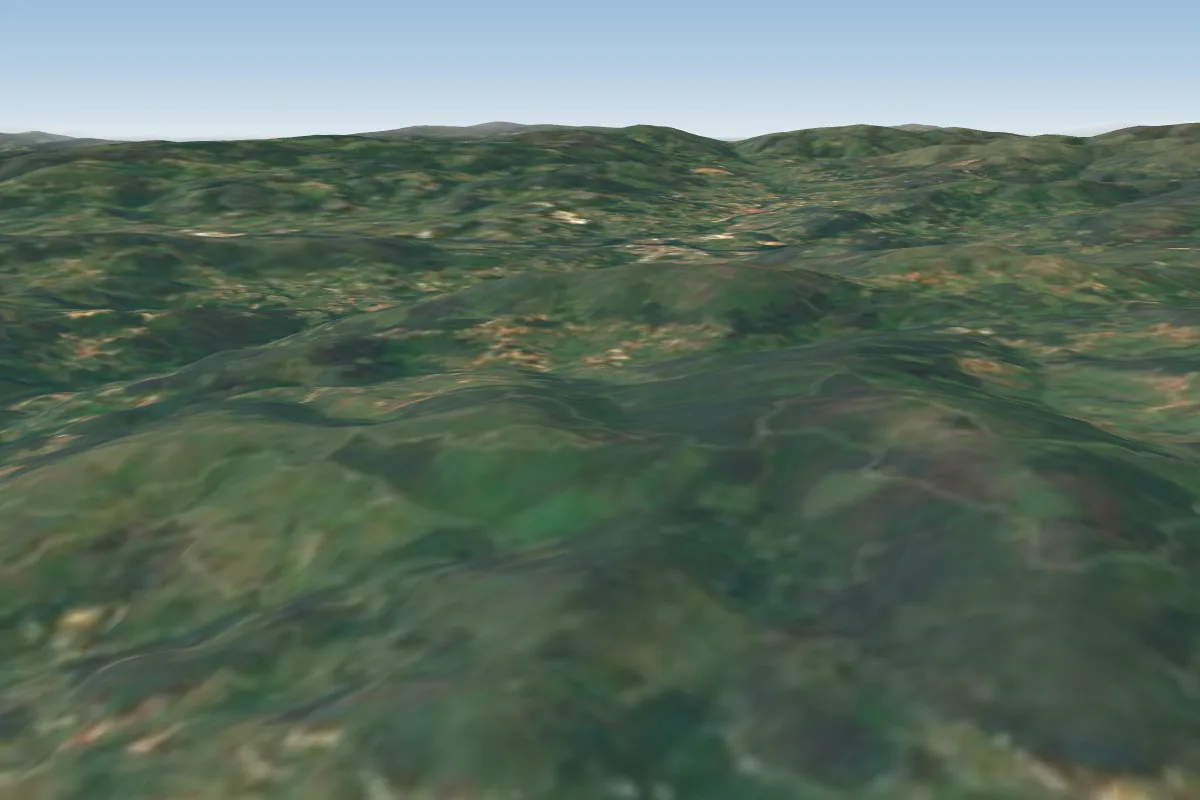 Gomide27 km E · Faces S–SWWorks in other winds
 Ofir33 km S · Faces WWorks in other winds
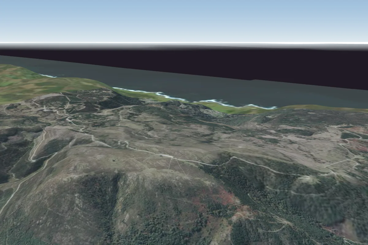 Agroba33 km NPossible XC from here on a SE day, 33 km downwind
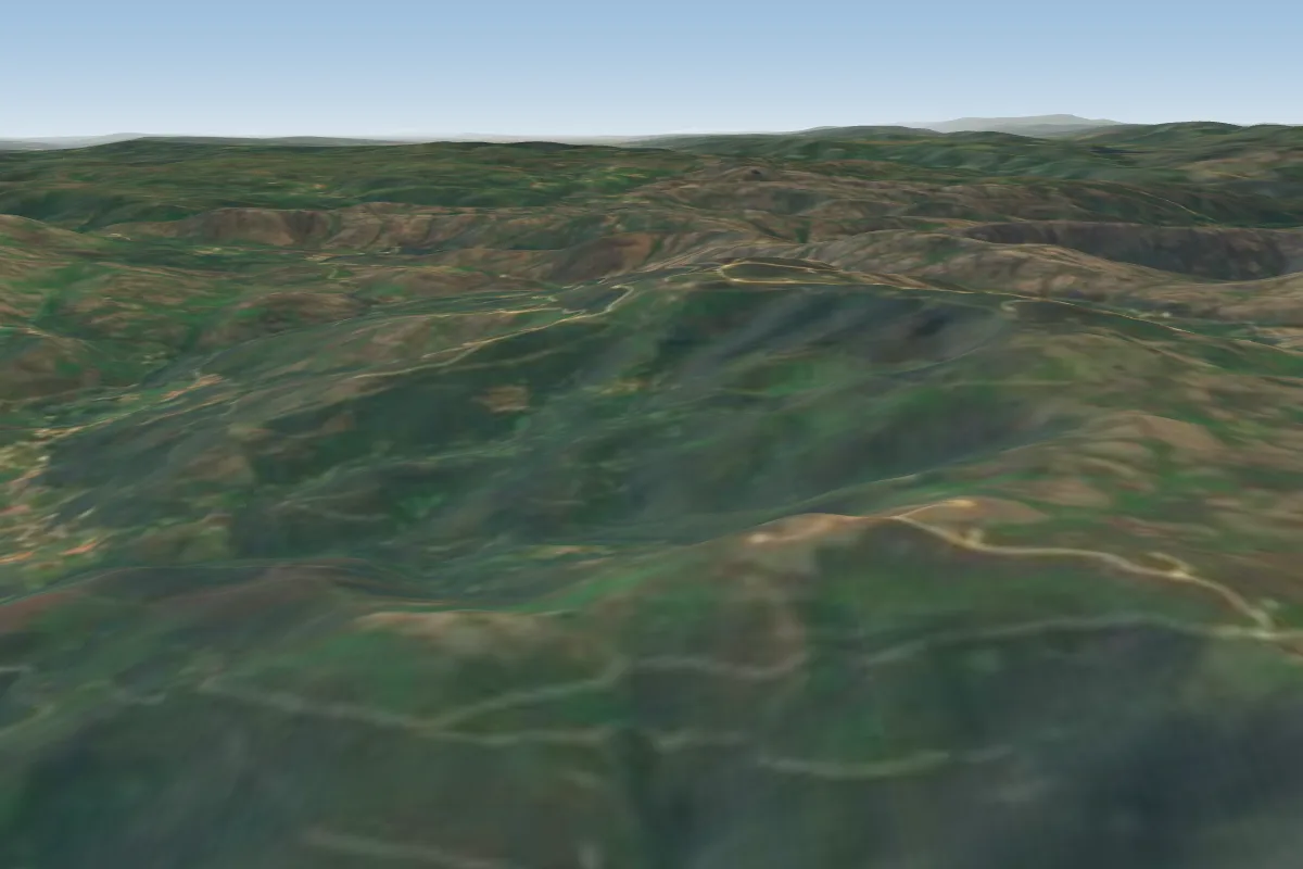 S. António Valpoldres41 km NE