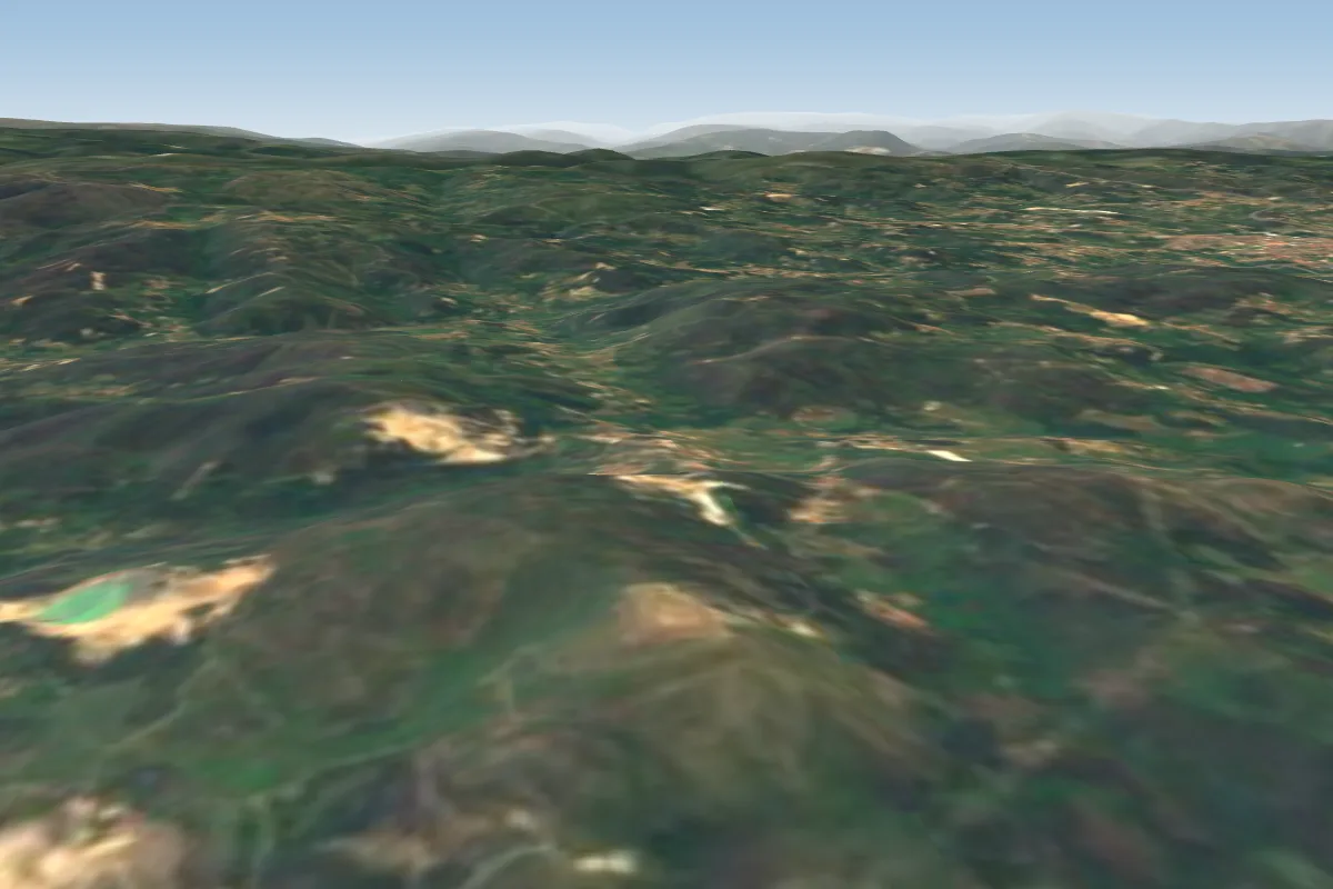
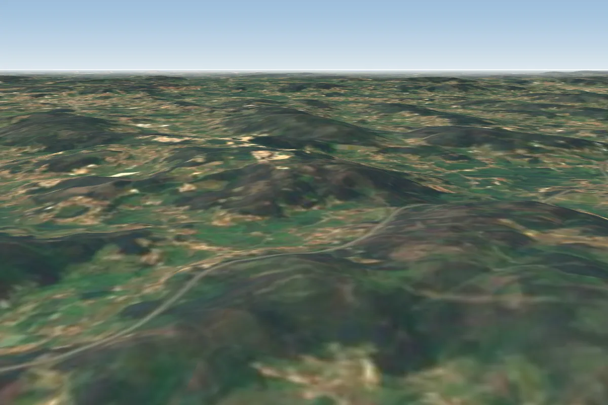
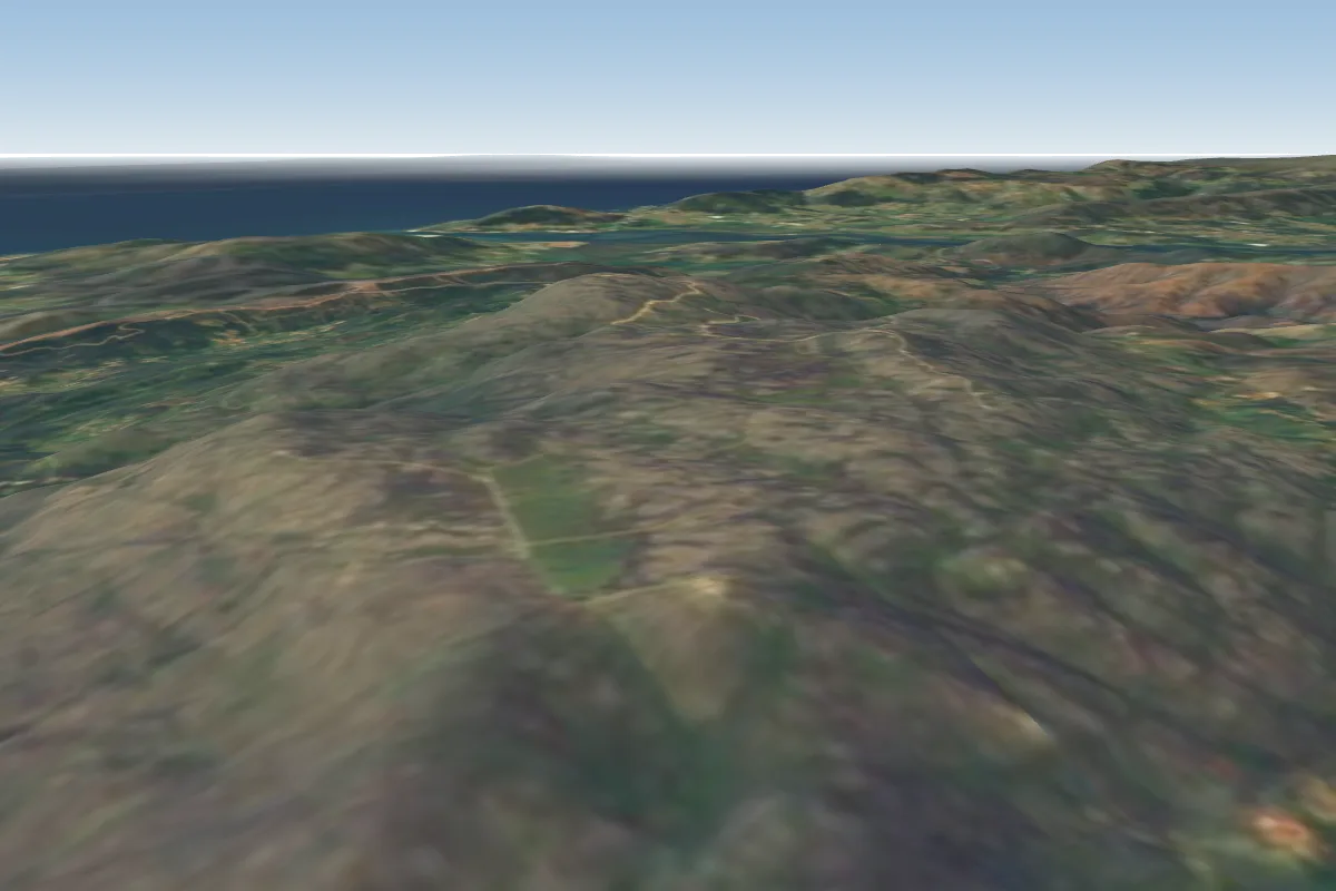
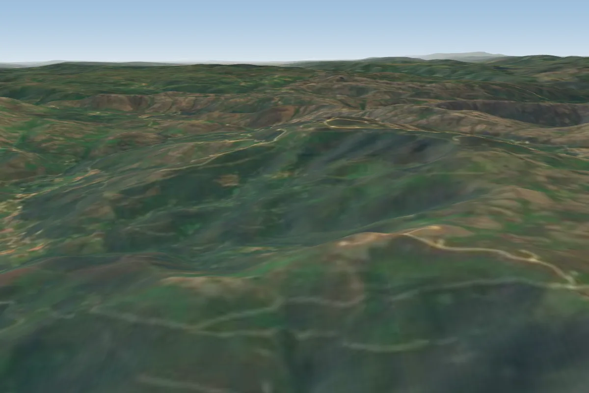
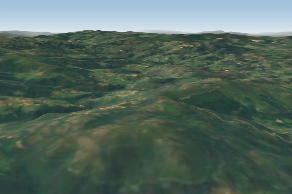
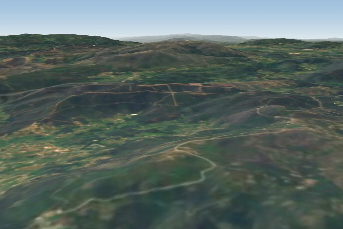
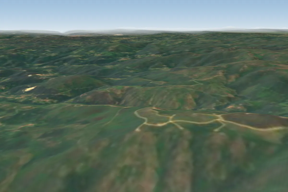
Gomide is a hill site in Portugal with a recorded launch elevation of 545 m. It works best in southerly and south-westerly winds, and can also work in south-easterly winds. Pilots fly it for ridge soaring and thermal, using foot launch.
Takeoff
Take-offAltitude: 640 m DesnÃvel: 440 m (Aldeia) Descolagem: Ampla; Fácil; Limpa Coordenadas: Latit: 41.7298 Long: -8.3858 Acessos: Muito Bons, em vias de ficarem Excelentes (Asfalto) Altitude: 640 m Ascent: 440 m (Village) Takeoff: Large, Easy…545 m · Source: ParaglidingEarth
LandingA aterragem oficial fica situada num campo bastante amplo, à face da estrada de acesso á descolagem de Gomide (lateralmente possui oliveiras).203 m · Source: ParaglidingEarth
Short extracts from ParaglidingEarth. Read the full guide before you fly.
When to go
Flyable days per month in a typical year.
10
20
30
Jan
Feb
Mar
Apr
May
Jun
Jul
Aug
Sep
Oct
Nov
Dec
Flyable days for Gomide are on the way. We are scoring ten years of weather for every site, month by month, against this site, its region and the sites around it.
Forecasts are planning aids, not safety clearance. Check current observations, official airspace and NOTAM information, local rules and your own experience before every flight.