Takeoff
- Take-off830 m · Source: ParaglidingEarth
830 m · 41.1711, -8.0454 · Directions
NE to S facing ridge site · 830 m takeoff · 372 m height gain
baião teste is a mountain site in Portugal with a recorded launch elevation of 830 m. It works best in north-easterly, easterly, south-easterly and southerly winds. Pilots fly it for ridge soaring and thermal, using foot launch.
830 m · 41.1711, -8.0454 · Directions
458 m · 2.1 km away · glide 1:5.6
Flyable days per month in a typical year.
Flyable days for baião teste are on the way. We are scoring ten years of weather for every site, month by month, against this site, its region and the sites around it.
Public transport directions from Vila Real Airport (Google Maps)All travel options from Vila Real Airport (Rome2Rio)
No notes yet. Flown baião teste? Tell the next pilot what to expect.
Hour by hour, live wind and stations on the map
Forecasts are planning aids, not safety clearance. Check current observations, official airspace and NOTAM information, local rules and your own experience before every flight.
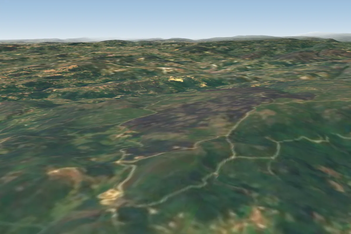 Baião Teste0 km S · Faces S
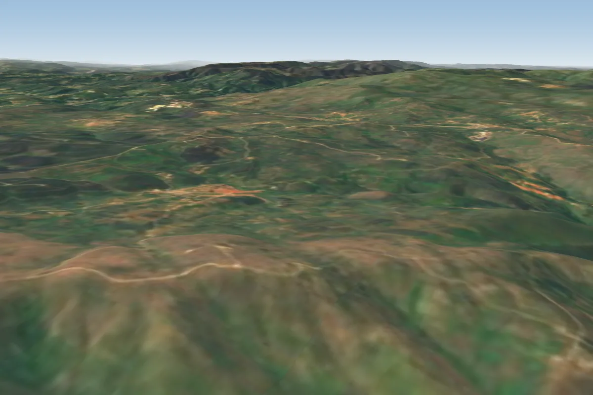 Tarouca27 km SE · Faces NE
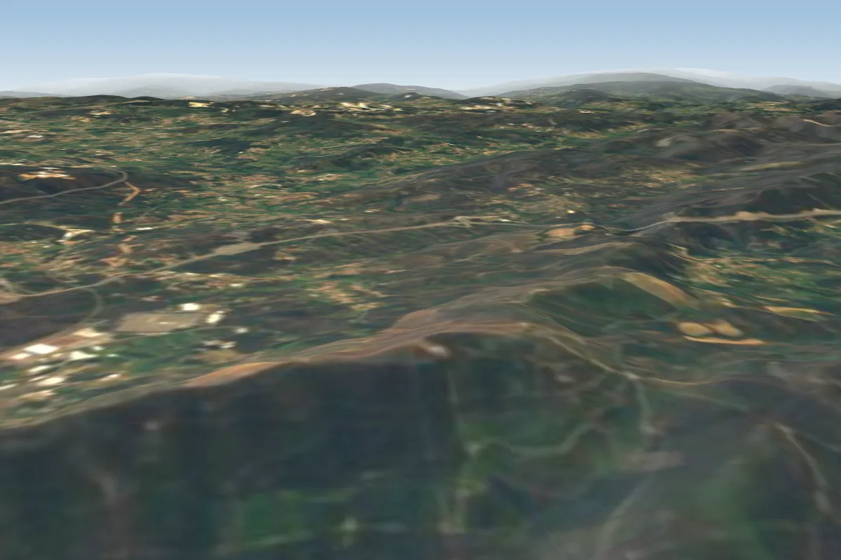 Pia36 km W · Faces W–NWWorks in other winds
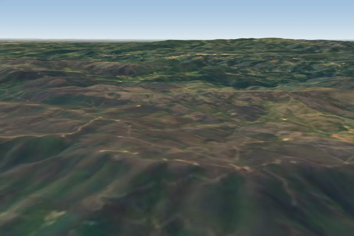 Freita37 km SW · Faces W–NWWorks in other winds
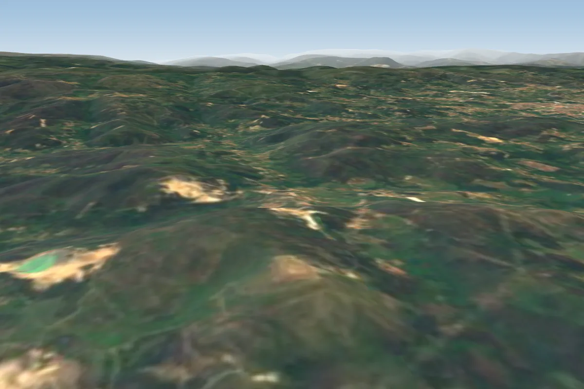 Gonça (Aterro)42 km NW · Faces WWorks in other winds
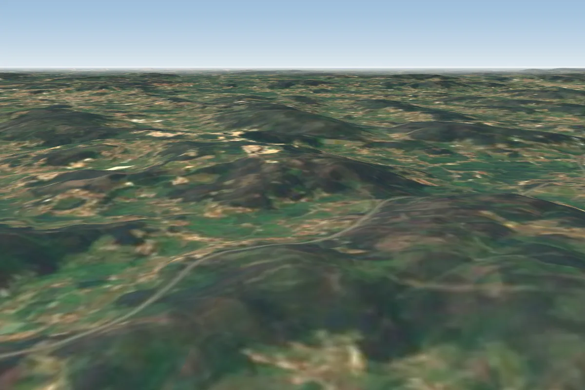 Caldas das Taipas44 km NW · Faces E
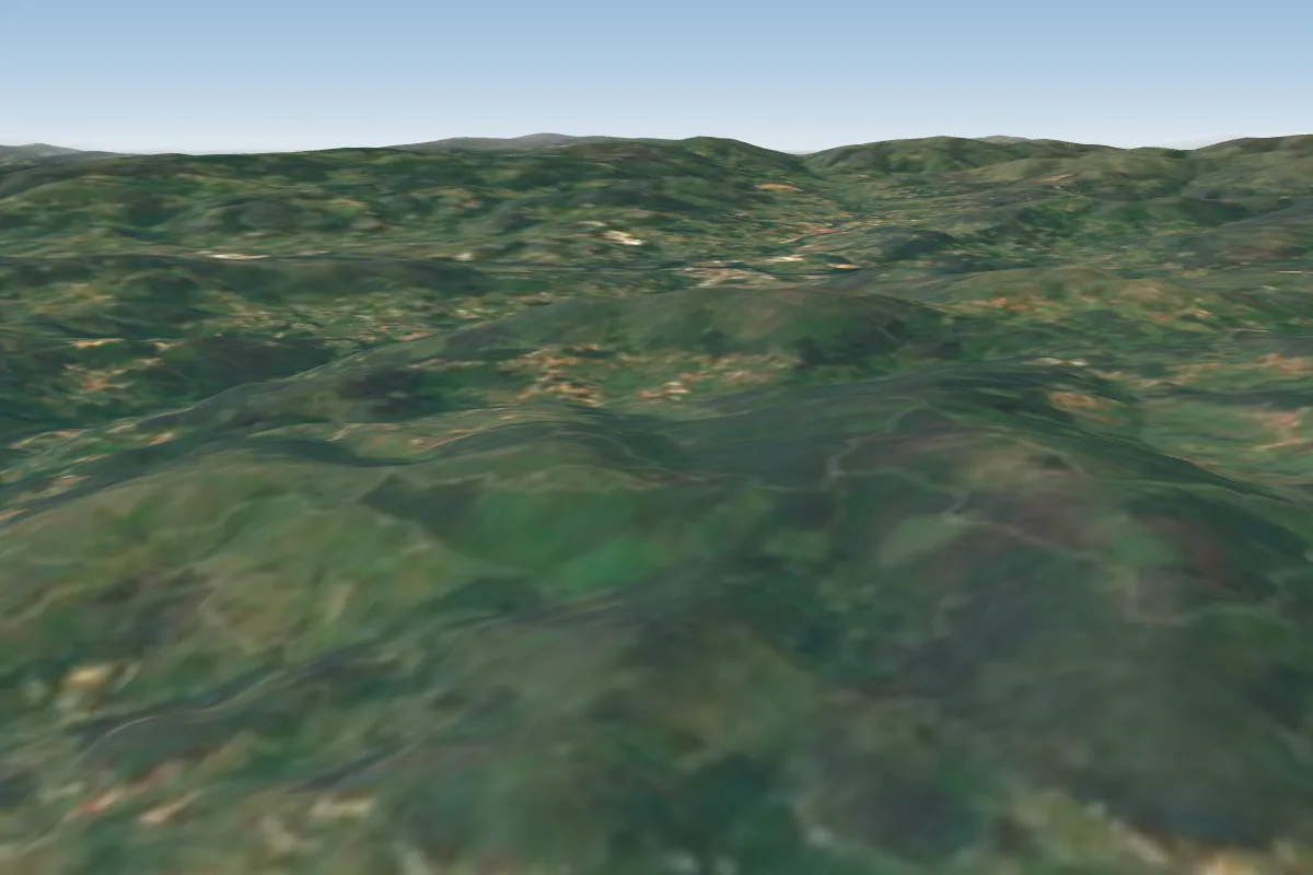 Gomide68 km NW · Faces S–SWWorks in other winds
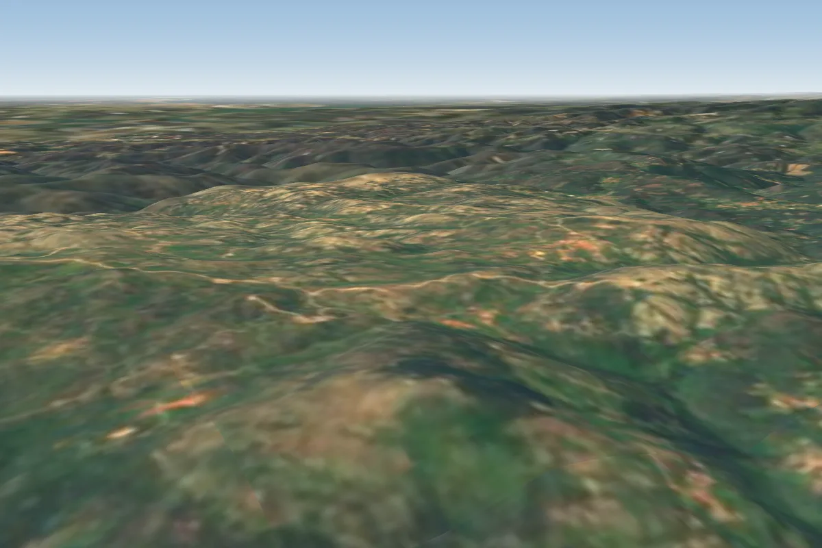 Cabeco da Neve - Caramulo70 km S · Faces SE–S