Pompignan
N to NE facing ridge site · 356 m takeoff · 149 m height gain
Overview
Pompignan is a flatland site in France with a recorded launch elevation of 356 m. It works best in northerly and north-easterly winds, and can also work in north-westerly winds. Pilots fly it for ridge soaring and thermal, using foot launch.
- Very nice site with a nice view Use it in the end of a 'Mistral' period or in the summer mornings Source: ParaglidingEarth
When to go
Flyable days per month in a typical year.
Flyable days for Pompignan are on the way. We are scoring ten years of weather for every site, month by month, against this site, its region and the sites around it.
Local weather notes
- Be carefull : the W-NW wind can rise suddenly and be strong so listen the 'Seranne' transmitter on 143.987.5 Mhz on the radio giving goods informations Source: ParaglidingEarth
Getting there
Nearest airports
- MPL Montpellier-Méditerranée Airport34 km
- FNI Nîmes-Arles-Camargue Airport47 km
- BZR Béziers Vias airport74 km
Where to stay
The nearest towns, for a bed, food and a lift to takeoff.
- Ganges14 km awayBooking.comAirbnb
- Saint-Gély-du-Fesc21 km awayBooking.comAirbnb
- Sommières21 km awayBooking.comAirbnb
Flying nearby
See them on the map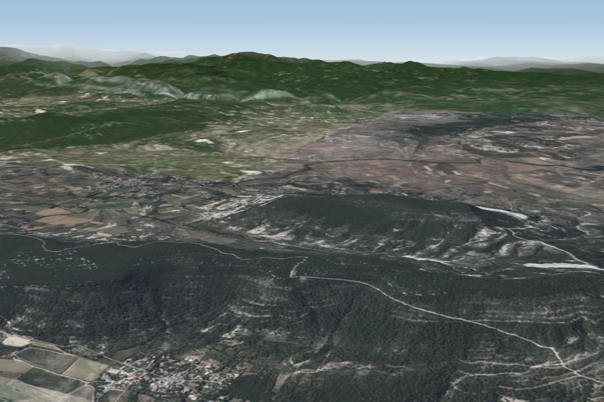 Claret SUD2 km E · Faces SE–SWorks in other winds
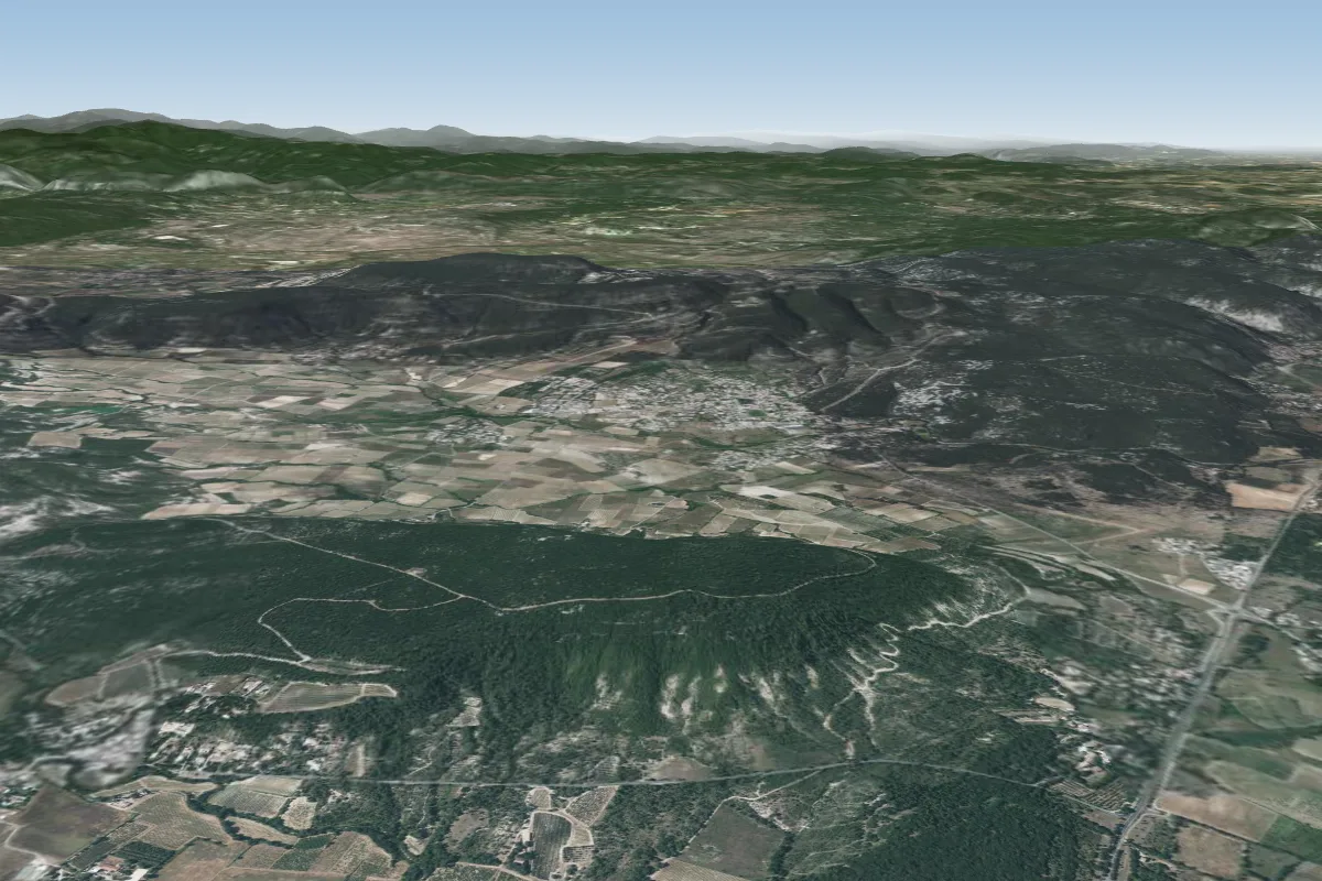 Lauret : Puech de Dolgue5 km SE · Faces SE–SWorks in other winds
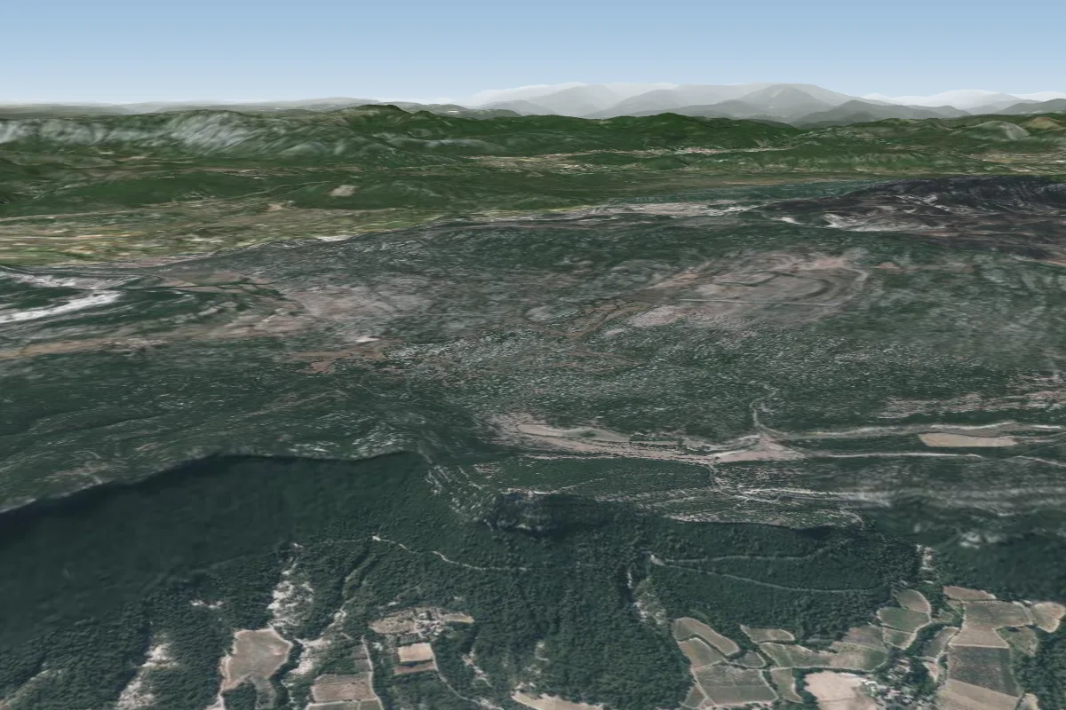 Hortus EST - Le Rouet7 km S · Faces SEWorks in other winds
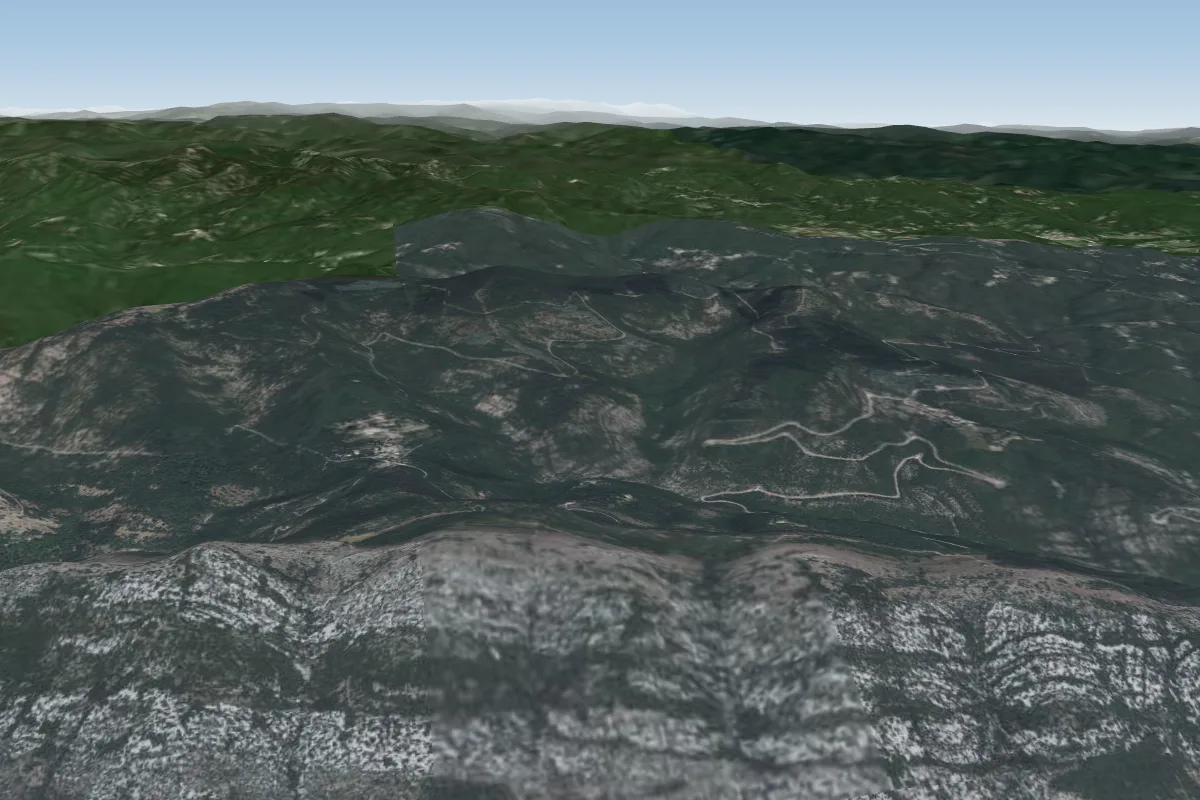 Cezas12 km NW · Faces SE–SWWorks in other winds
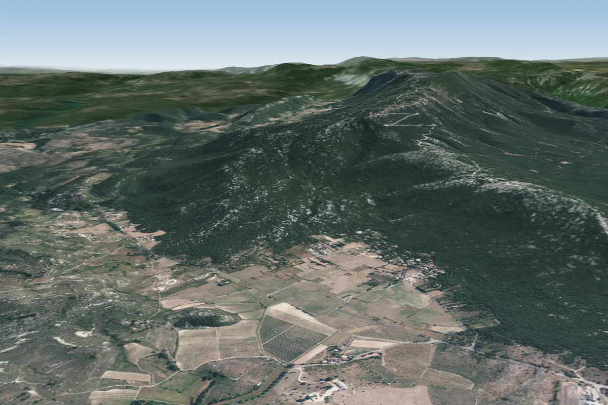 Atterro : Coupiac13 km W
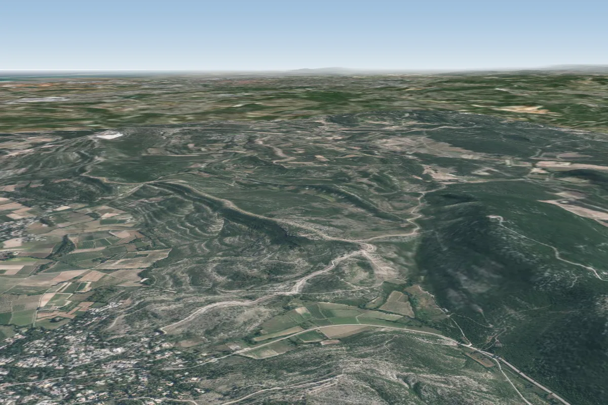 Pente école : Saint-Bauzille-de-Montmel14 km SE · Faces N
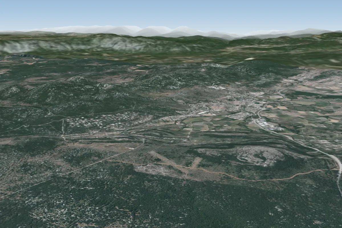 La Pourcaresse16 km SW · Faces SWorks in other winds
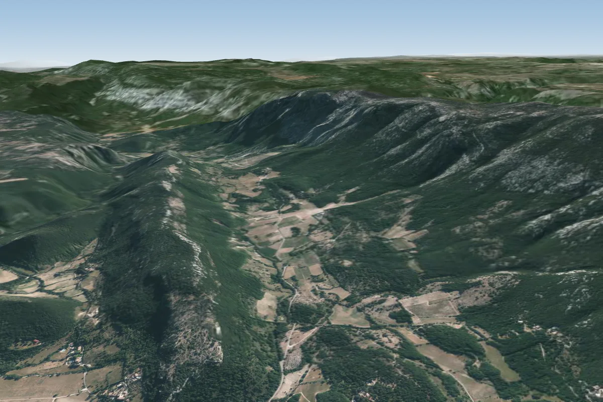 Atterro des Prats17 km W
Pilot notes
No notes yet. Flown Pompignan? Tell the next pilot what to expect.
Pilot notes on Pompignan
Flying Pompignan?
Takeoff, landing, rules, the hour by hour forecast and live wind are in the site details on the map.
Open site detailsSources
- ParaglidingEarth site record © ParaglidingEarth contributors (CC BY-SA)