Atterro : Coupiac
Site · 166 m takeoff
Overview
Atterro : Coupiac is a flying site in France with a recorded launch elevation of 166 m. No launch directions are recorded yet.
- Parking. Et Point de départ et retour de la navette de la Seranne. Prévoir de la monnaie et prendre des tickets pour les montées en navettes. Source: ParaglidingEarth
When to go
Flyable days per month in a typical year.
Flyable days for Atterro : Coupiac are on the way. We are scoring ten years of weather for every site, month by month, against this site, its region and the sites around it.
Getting there
Nearest airports
- MPL Montpellier-Méditerranée Airport41 km
- FNI Nîmes-Arles-Camargue Airport59 km
- BZR Béziers Vias airport69 km
Where to stay
The nearest towns, for a bed, food and a lift to takeoff.
- Ganges4 km awayBooking.comAirbnb
- Le Vigan13 km awayBooking.comAirbnb
- Saint-Gély-du-Fesc24 km awayBooking.comAirbnb
Things to do
For the days the wind is wrong: places worth a visit within 10 km of Atterro : Coupiac.
Flying nearby
See them on the map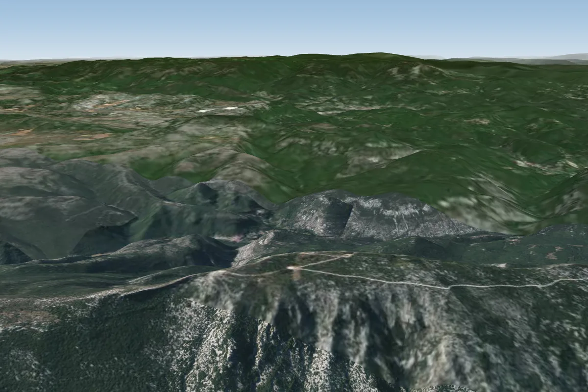 La Seranne - Déco France6 km SW · Faces SWorks in other winds
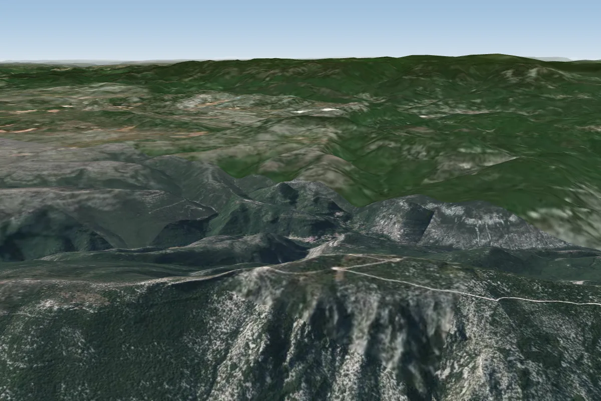 La Seranne - Déco Namibie6 km SW
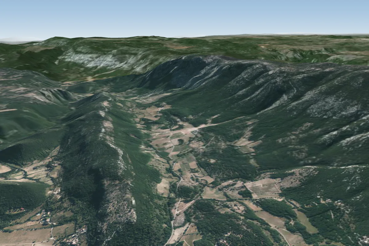 Atterro des Prats6 km SW
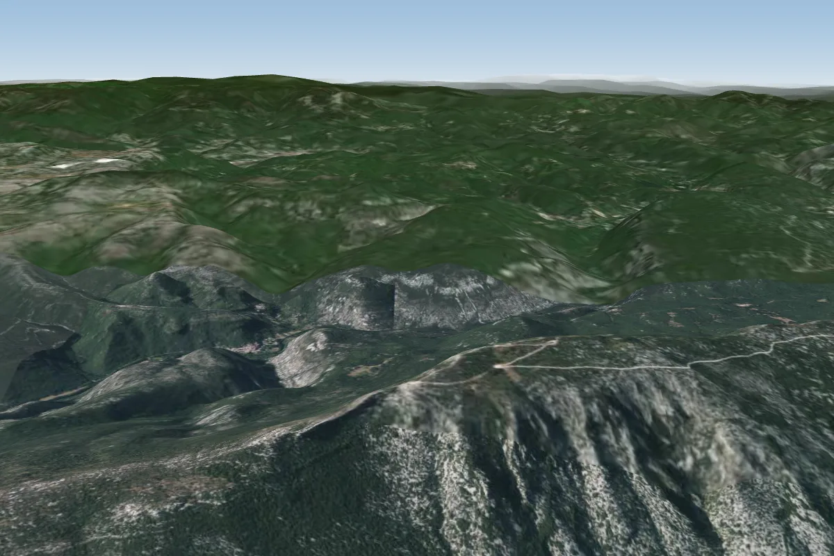 La Seranne - Déco Roc Blanc6 km SW
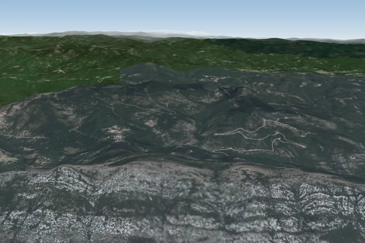 Cezas10 km NE · Faces SE–SWWorks in other winds
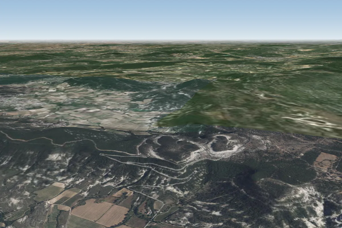 Pompignan13 km E · Faces N–NEWorks in other winds
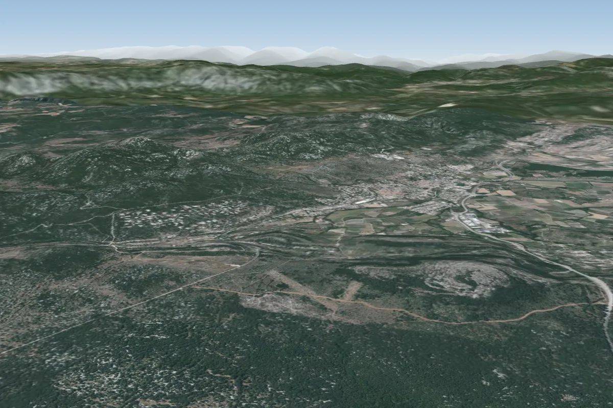 La Pourcaresse14 km S · Faces SWorks in other winds
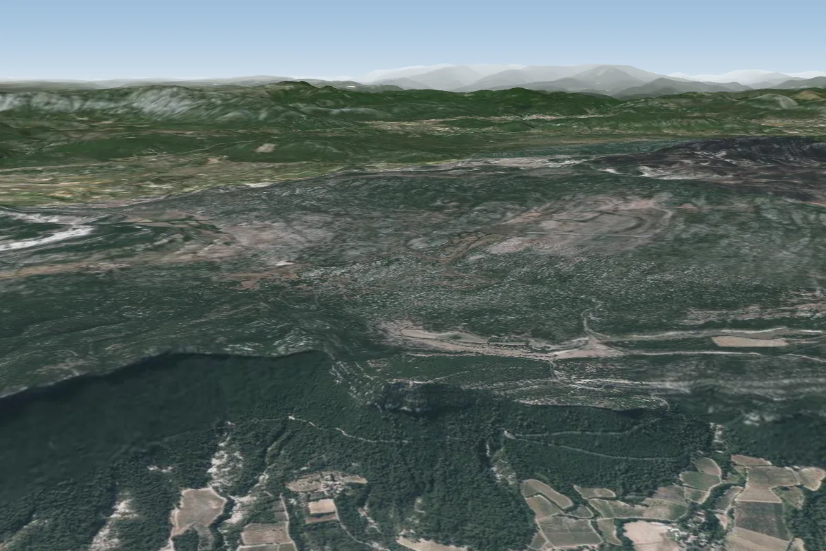 Hortus EST - Le Rouet15 km SE · Faces SEWorks in other winds
Pilot notes
No notes yet. Flown Atterro : Coupiac? Tell the next pilot what to expect.
Pilot notes on Atterro : Coupiac
Flying Atterro : Coupiac?
Takeoff, landing, rules, the hour by hour forecast and live wind are in the site details on the map.
Open site detailsSources
- ParaglidingEarth site record © ParaglidingEarth contributors (CC BY-SA)