Butte St Michel
North-east-facing site · 307 m takeoff · 11 m height gain
Overview
Butte St Michel is a flying site in France with a recorded launch elevation of 307 m. It works best in north-easterly winds.
- petite pente pour gonflage, terrain privée Source: ParaglidingEarth
When to go
Flyable days per month in a typical year.
Flyable days for Butte St Michel are on the way. We are scoring ten years of weather for every site, month by month, against this site, its region and the sites around it.
Getting there
Nearest airports
- RNS Rennes-Saint-Jacques Airport92 km
- BES Brest Bretagne airport111 km
- JER Jersey Airport115 km
Things to do
For the days the wind is wrong: places worth a visit within 10 km of Butte St Michel.

Flying nearby
See them on the map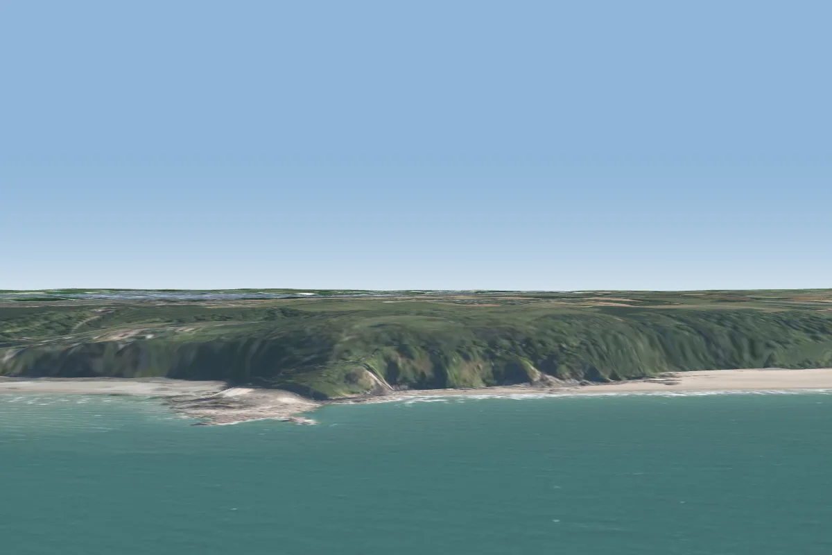 Les tablettes33 km NE · Faces NE
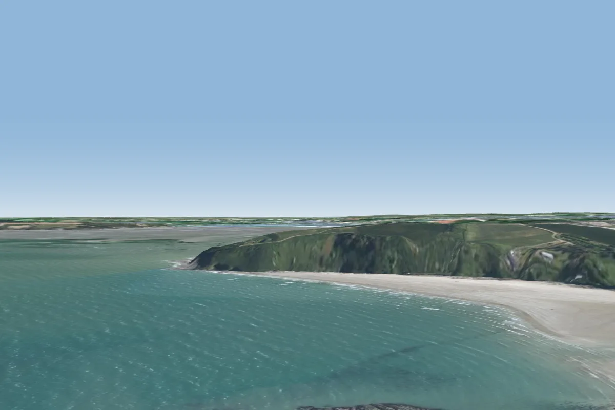 Roselier33 km NE · Faces N, NE, SEWorks in other winds
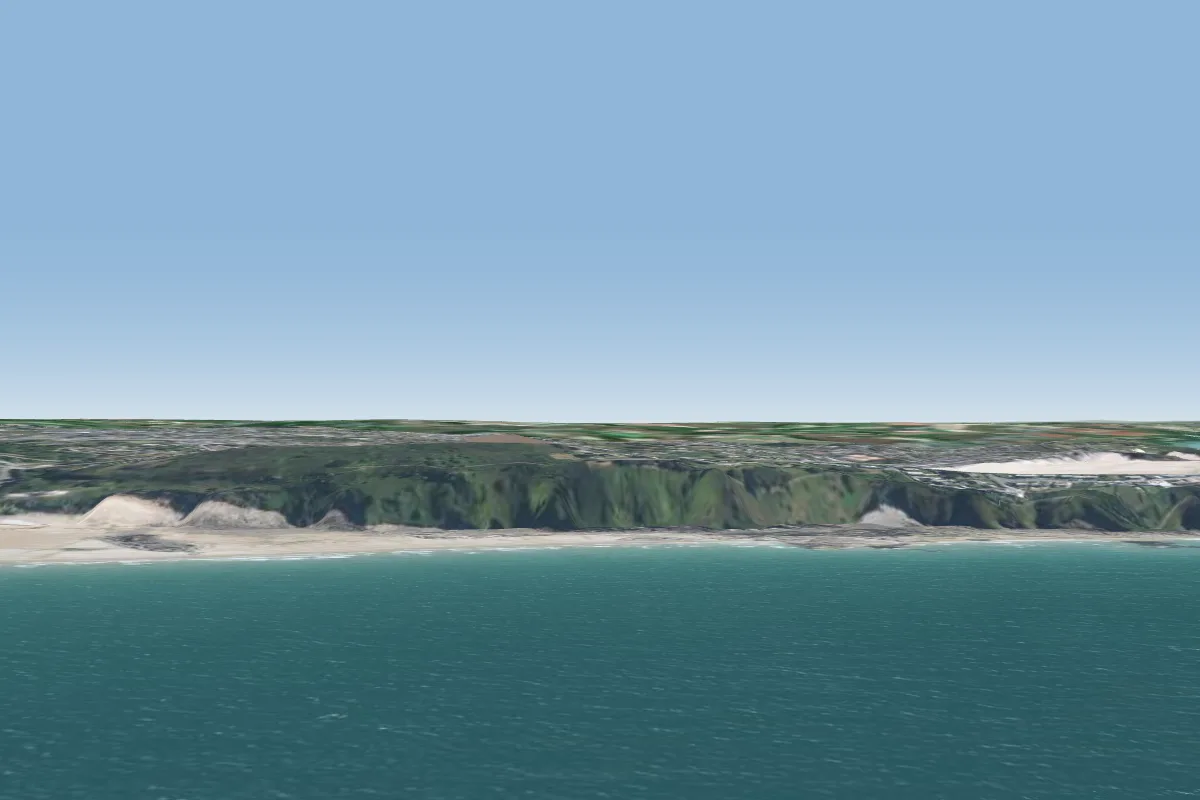 Pleneuf Val Andre44 km NE · Faces N–NEWorks in other winds
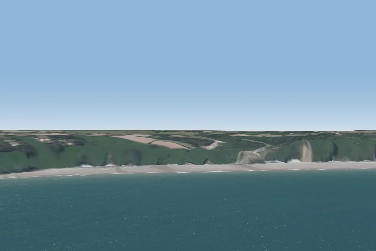 plage Bonaparte46 km N · Faces NE–EWorks in other winds
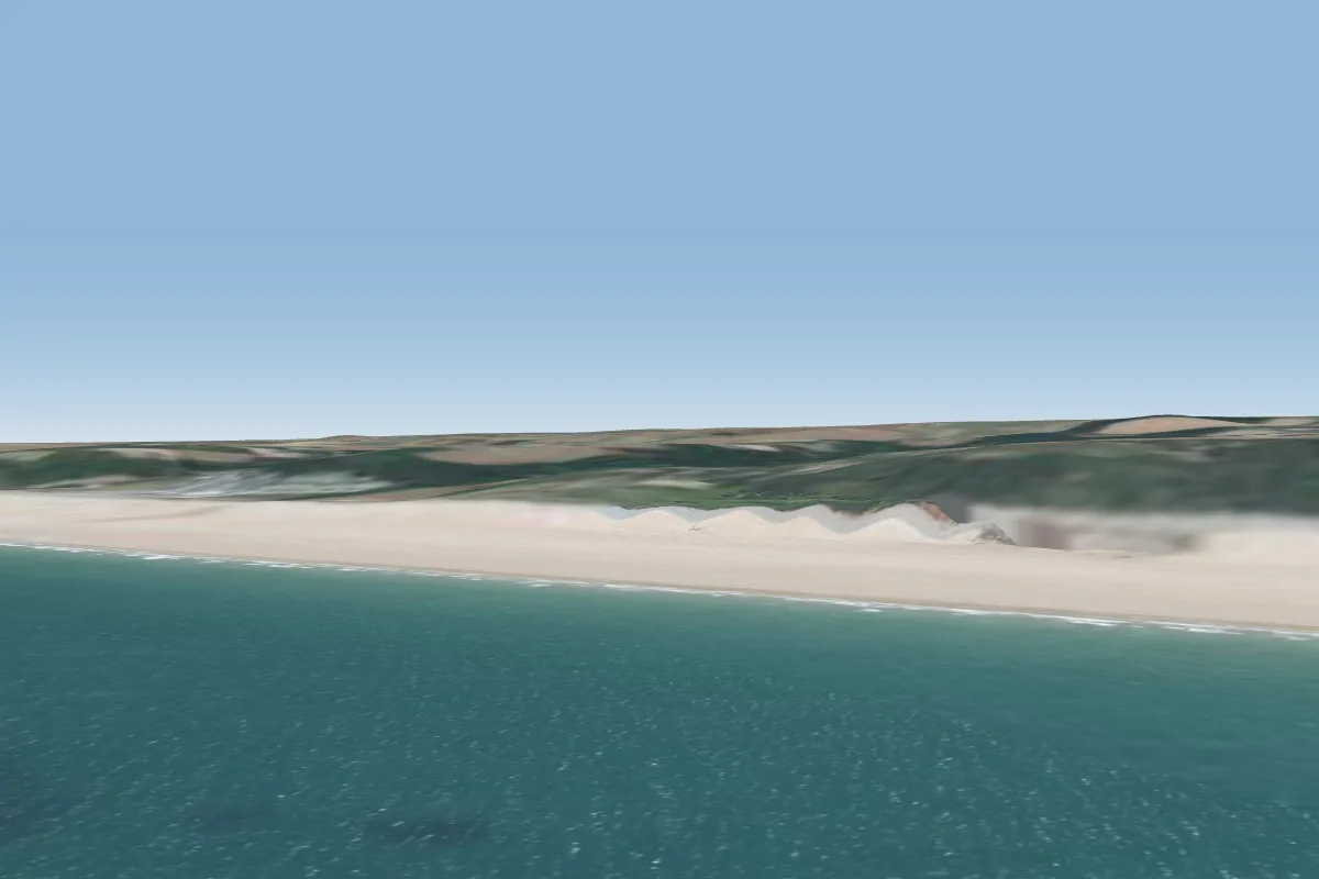 Saint Pabu47 km NE · Faces NW–NWorks in other winds
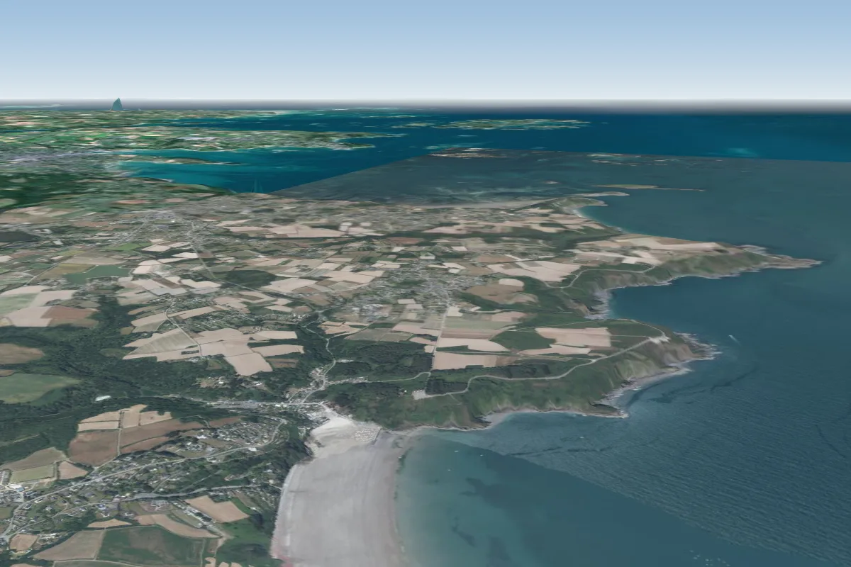 Brehec48 km N · Faces SEWorks in other winds
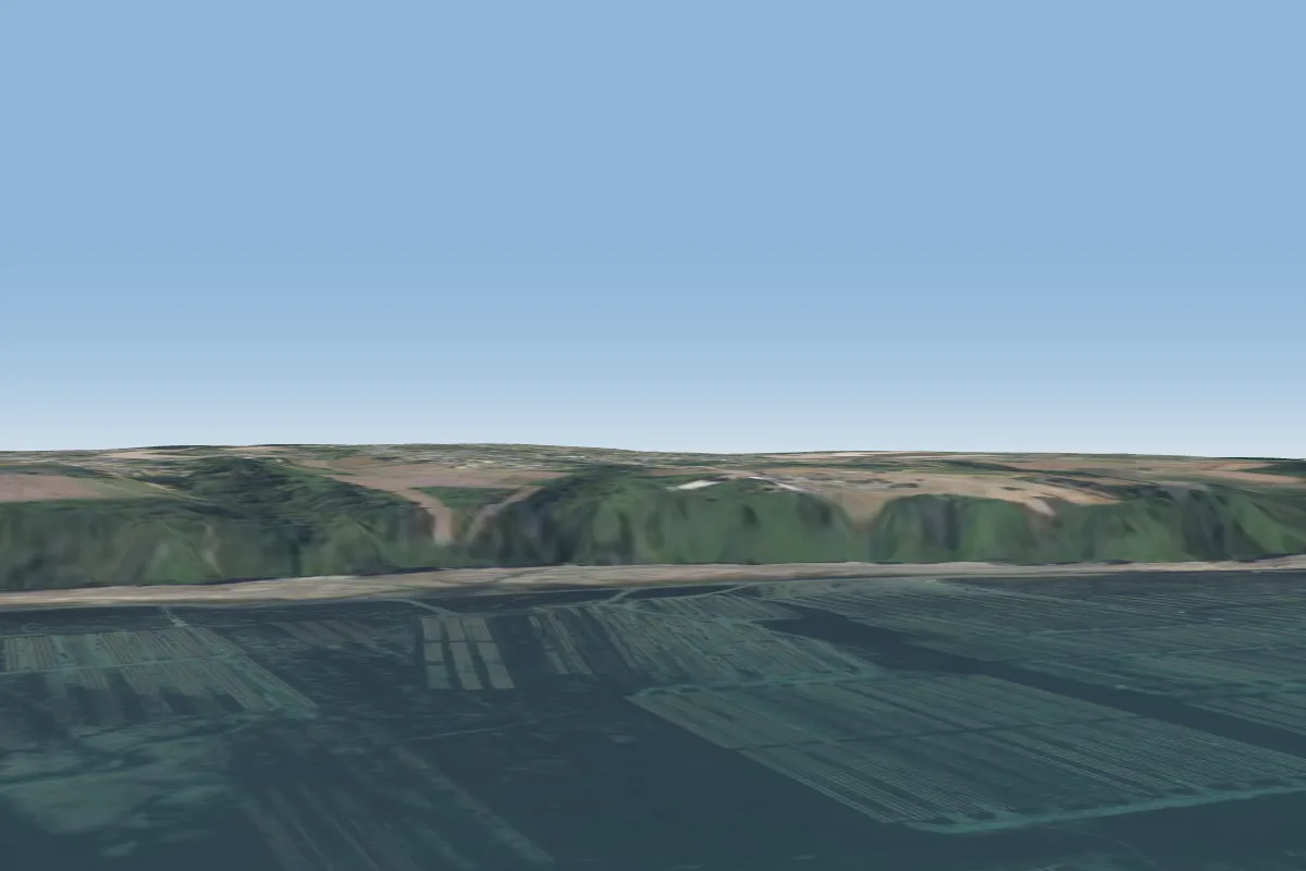 Plouezec52 km N · Faces NWorks in other winds
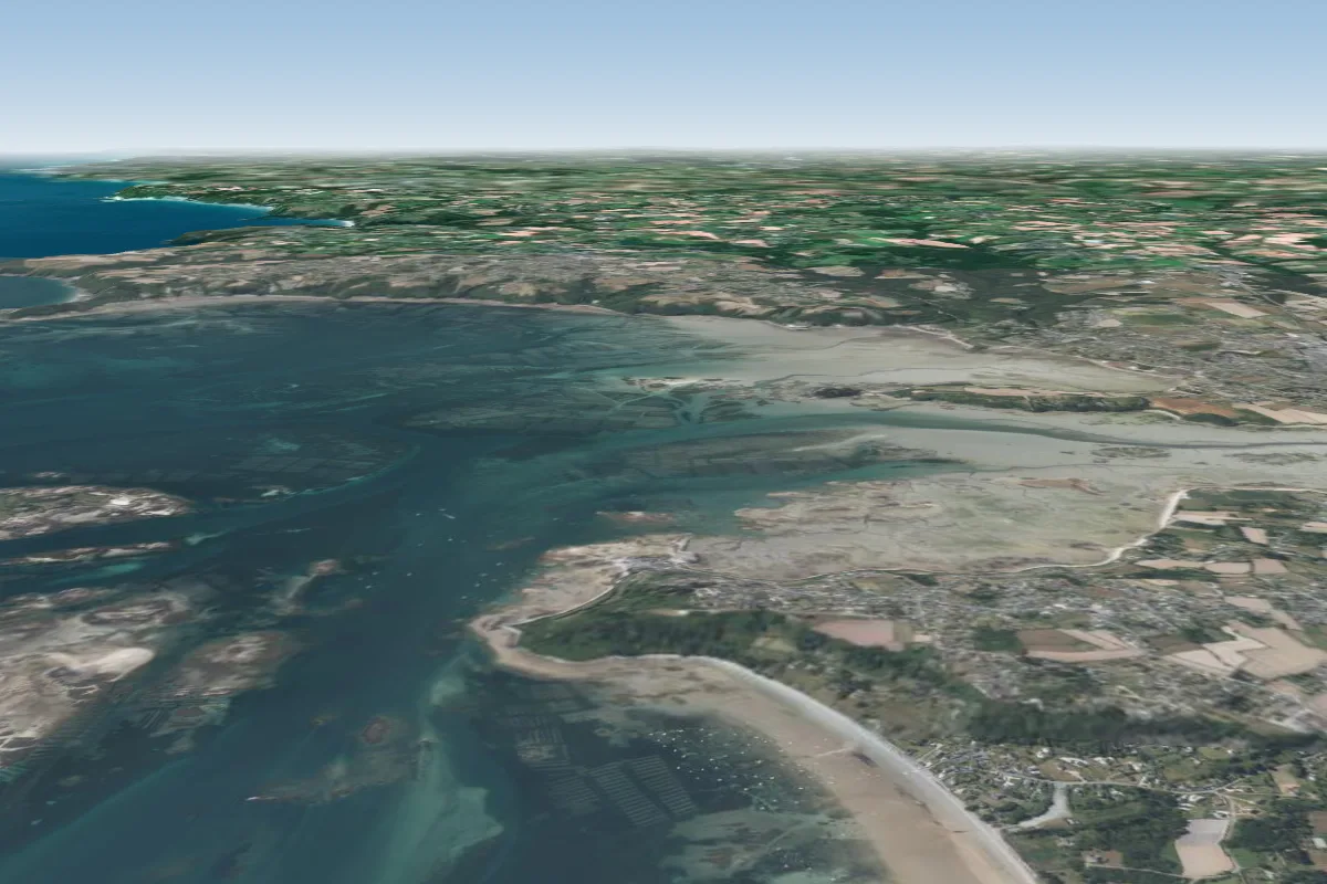 la croix des veuves57 km N · Faces NW–NEWorks in other winds
Pilot notes
No notes yet. Flown Butte St Michel? Tell the next pilot what to expect.
Pilot notes on Butte St Michel
Flying Butte St Michel?
Takeoff, landing, rules, the hour by hour forecast and live wind are in the site details on the map.
Open site detailsSources
- ParaglidingEarth site record © ParaglidingEarth contributors (CC BY-SA)