Takeoff
- Take-off10 m · Source: ParaglidingEarth
10 m · 48.6048, -2.5054 · Directions
NW to N facing ridge site · 10 m takeoff
No photos of Saint Pabu yet. Flown here? Add the first one for the next pilot planning a trip.
Saint Pabu is a hill site in France with a recorded launch elevation of 10 m. It works best in northerly and north-westerly winds, and can also work in westerly winds. Pilots fly it for ridge soaring and thermal, using foot launch.
10 m · 48.6048, -2.5054 · Directions
Flyable days per month in a typical year.
Flyable days for Saint Pabu are on the way. We are scoring ten years of weather for every site, month by month, against this site, its region and the sites around it.
Public transport directions from Jersey Airport (Google Maps)All travel options from Jersey Airport (Rome2Rio)
No notes yet. Flown Saint Pabu? Tell the next pilot what to expect.
Hour by hour, live wind and stations on the map
Forecasts are planning aids, not safety clearance. Check current observations, official airspace and NOTAM information, local rules and your own experience before every flight.
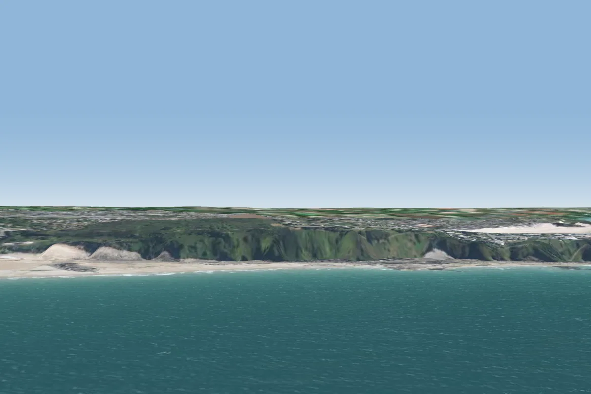 Pleneuf Val Andre3 km W · Faces N–NEWorks in other winds
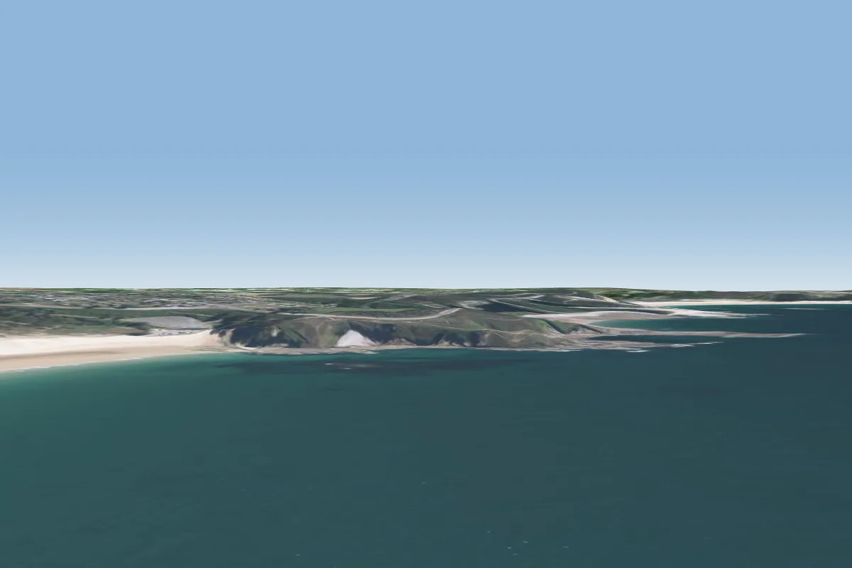 Pleherel-Plage12 km NE
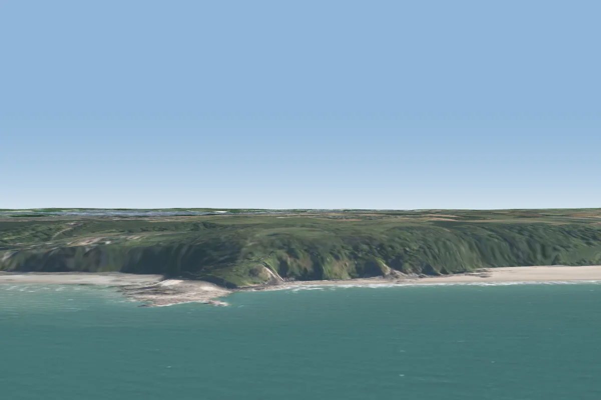 Les tablettes18 km W · Faces NEWorks in other winds
 St Jacut24 km E · Faces EWorks in other winds
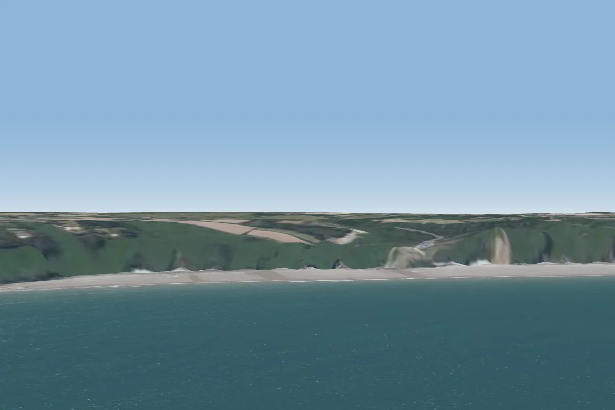 plage Bonaparte33 km W · Faces NE–EWorks in other winds
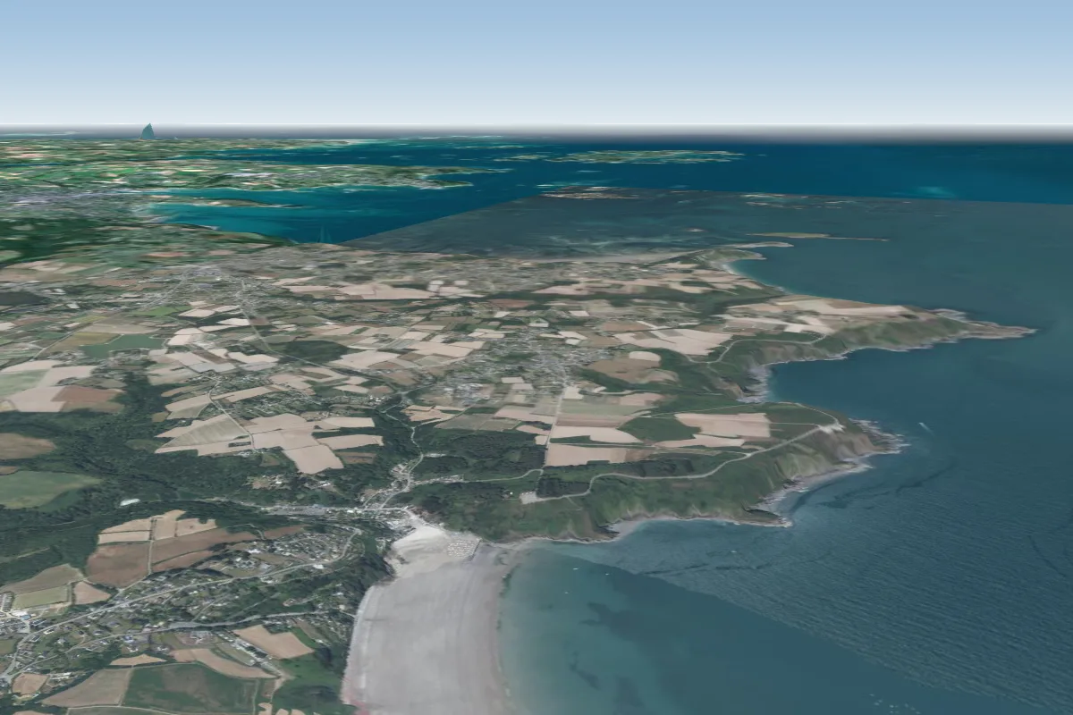 Brehec35 km NW · Faces SEWorks in other winds
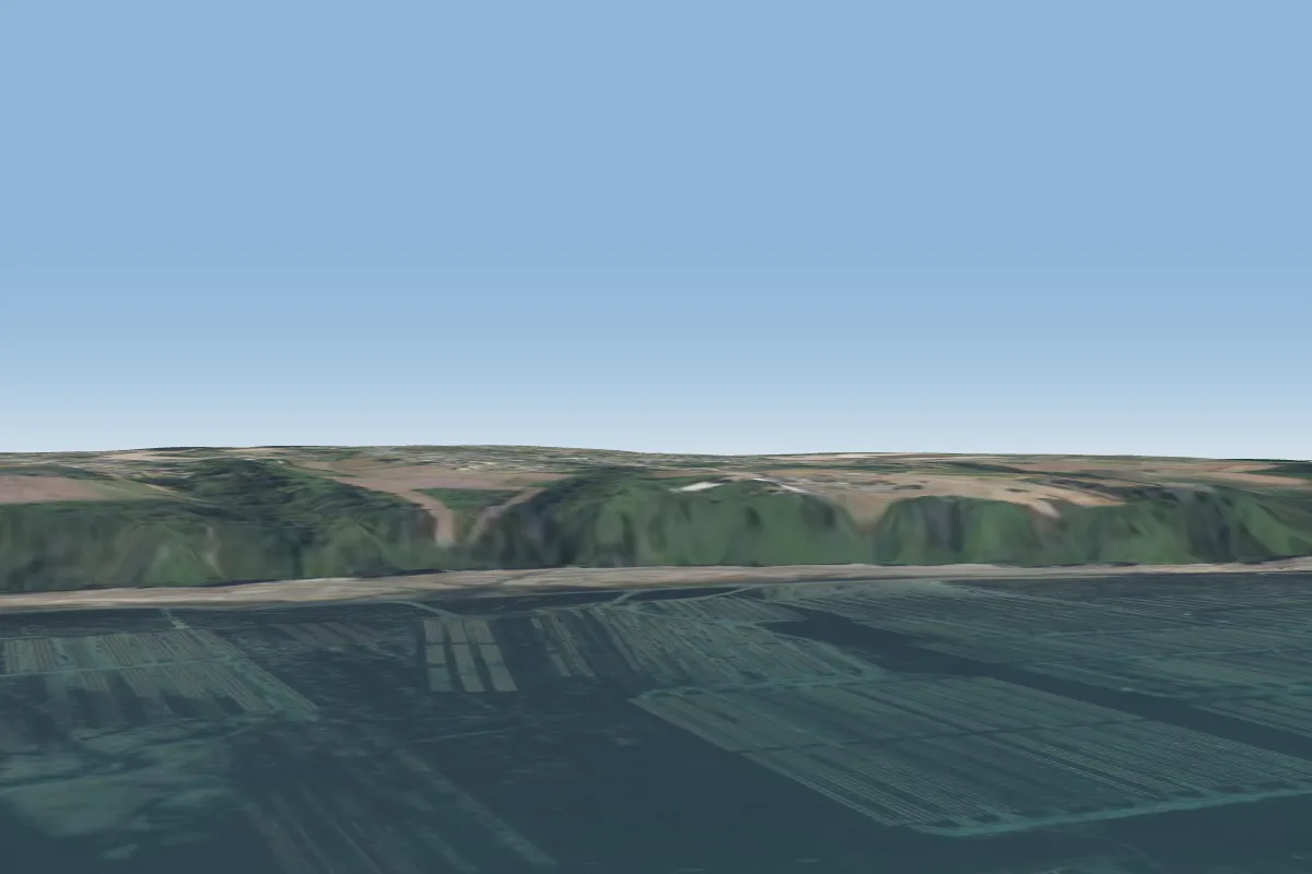 Plouezec39 km NW · Faces N
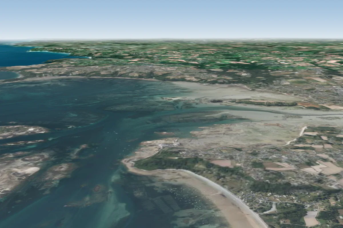 la croix des veuves43 km NW · Faces NW–NEWorks in other winds