Op Het Eiland
Faces NE, SW site · 13 m takeoff
Overview
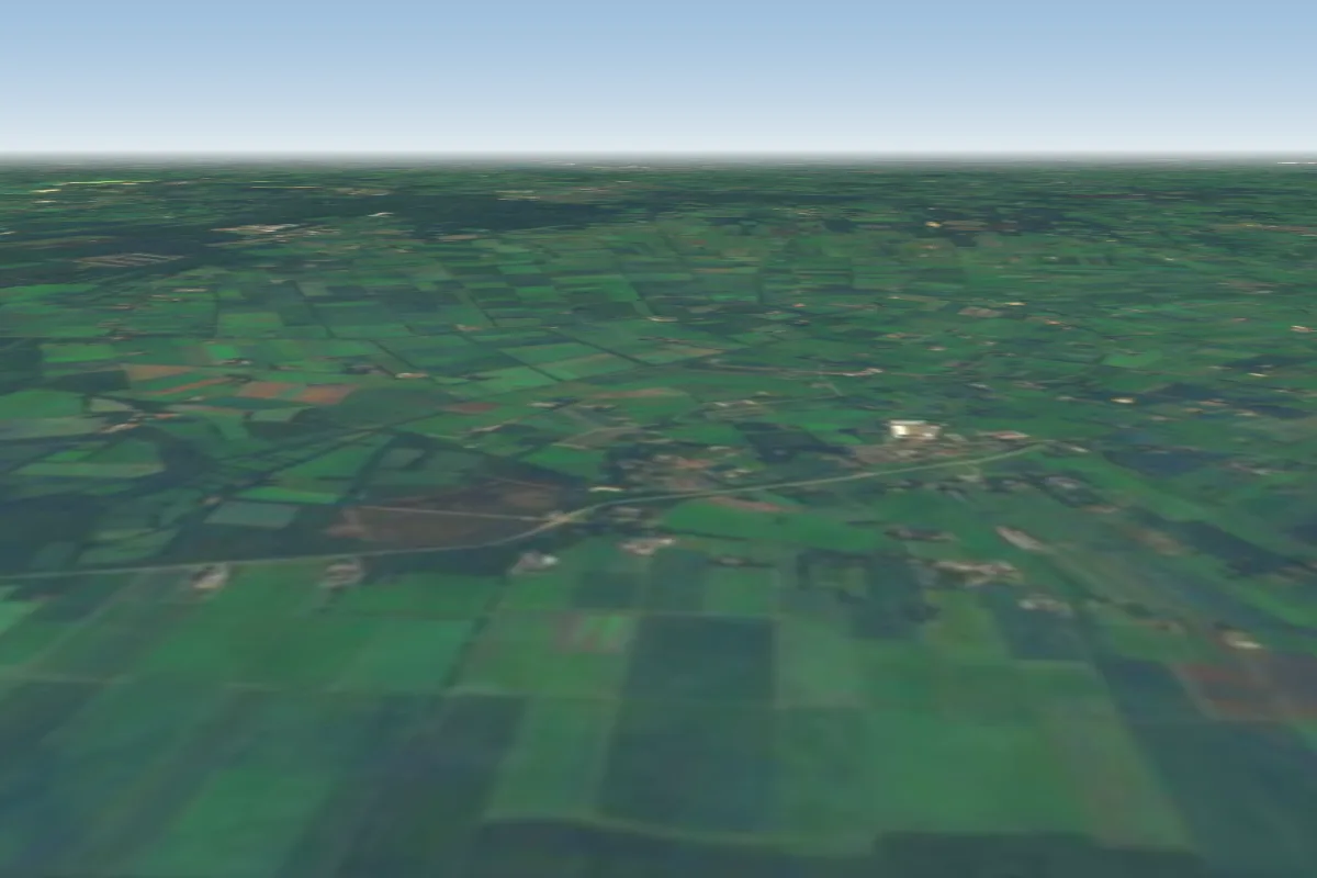
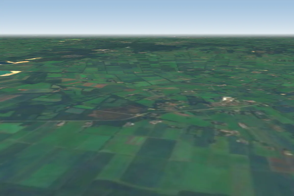
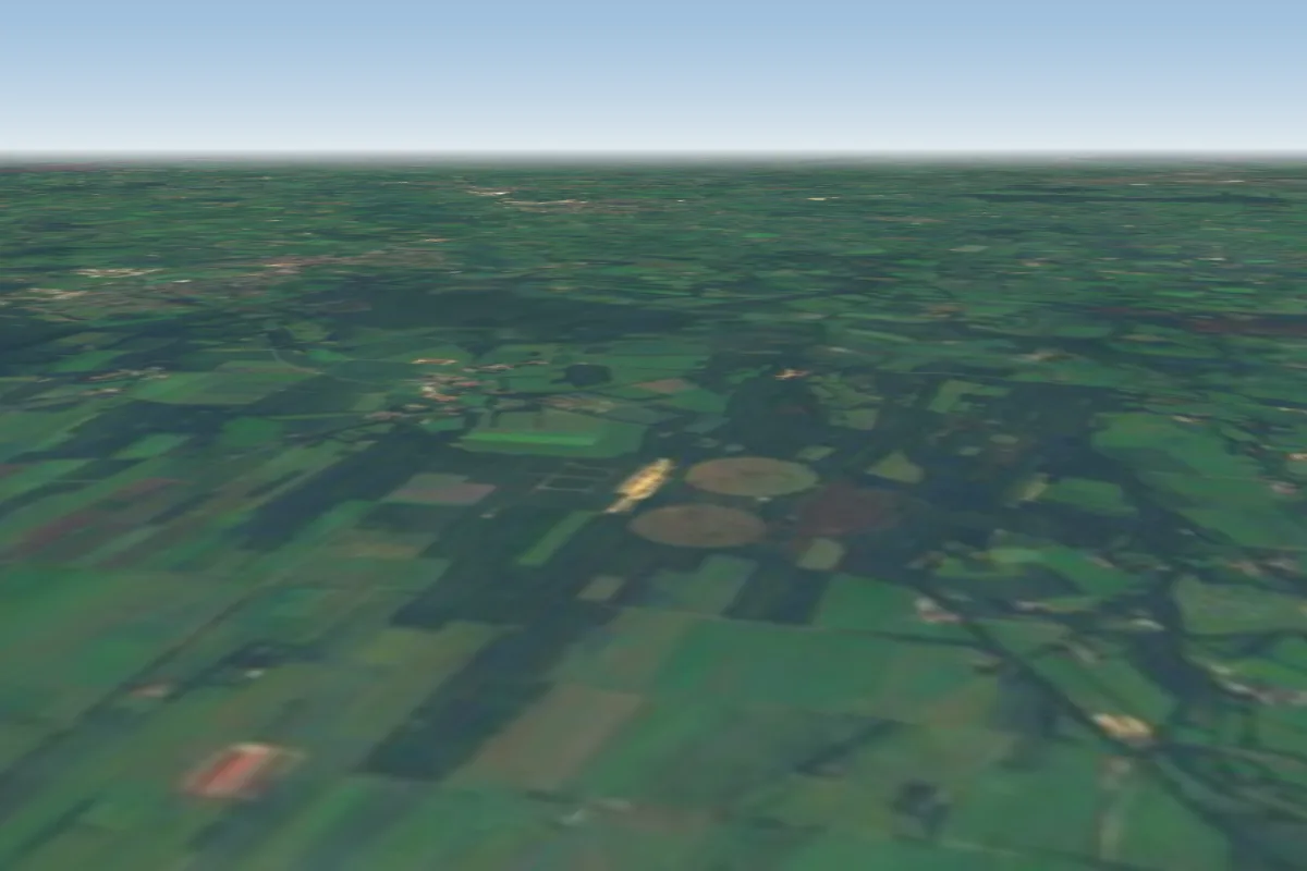
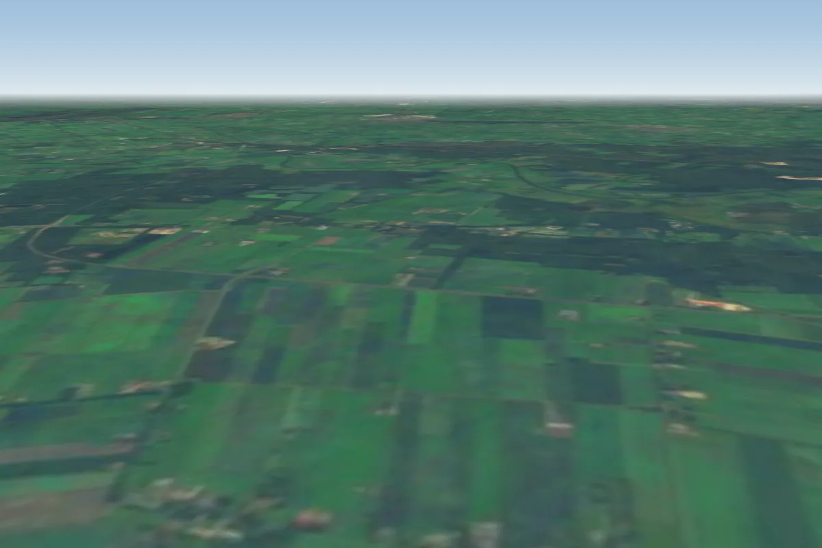
Op Het Eiland is a flatland site in Netherlands with a recorded launch elevation of 13 m. It works best in north-easterly and south-westerly winds, and can also work in northerly, easterly, southerly and westerly winds.
When to go
Flyable days per month in a typical year.
Flyable days for Op Het Eiland are on the way. We are scoring ten years of weather for every site, month by month, against this site, its region and the sites around it.
Local weather notes
- Best wind: South-east -> North-west (or vice versa) Source: ParaglidingEarth
Getting there
Nearest airports
- NRN Weeze (Niederrhein) Airport66 km
- FMO Münster Osnabrück Airport82 km
- DUS Düsseldorf Airport99 km
Where to stay
The nearest towns, for a bed, food and a lift to takeoff.
- Lochem5 km awayBooking.comAirbnb
- Borculo5 km awayBooking.comAirbnb
- Goor11 km awayBooking.comAirbnb
Things to do
For the days the wind is wrong: places worth a visit within 10 km of Op Het Eiland.
Flying nearby
See them on the map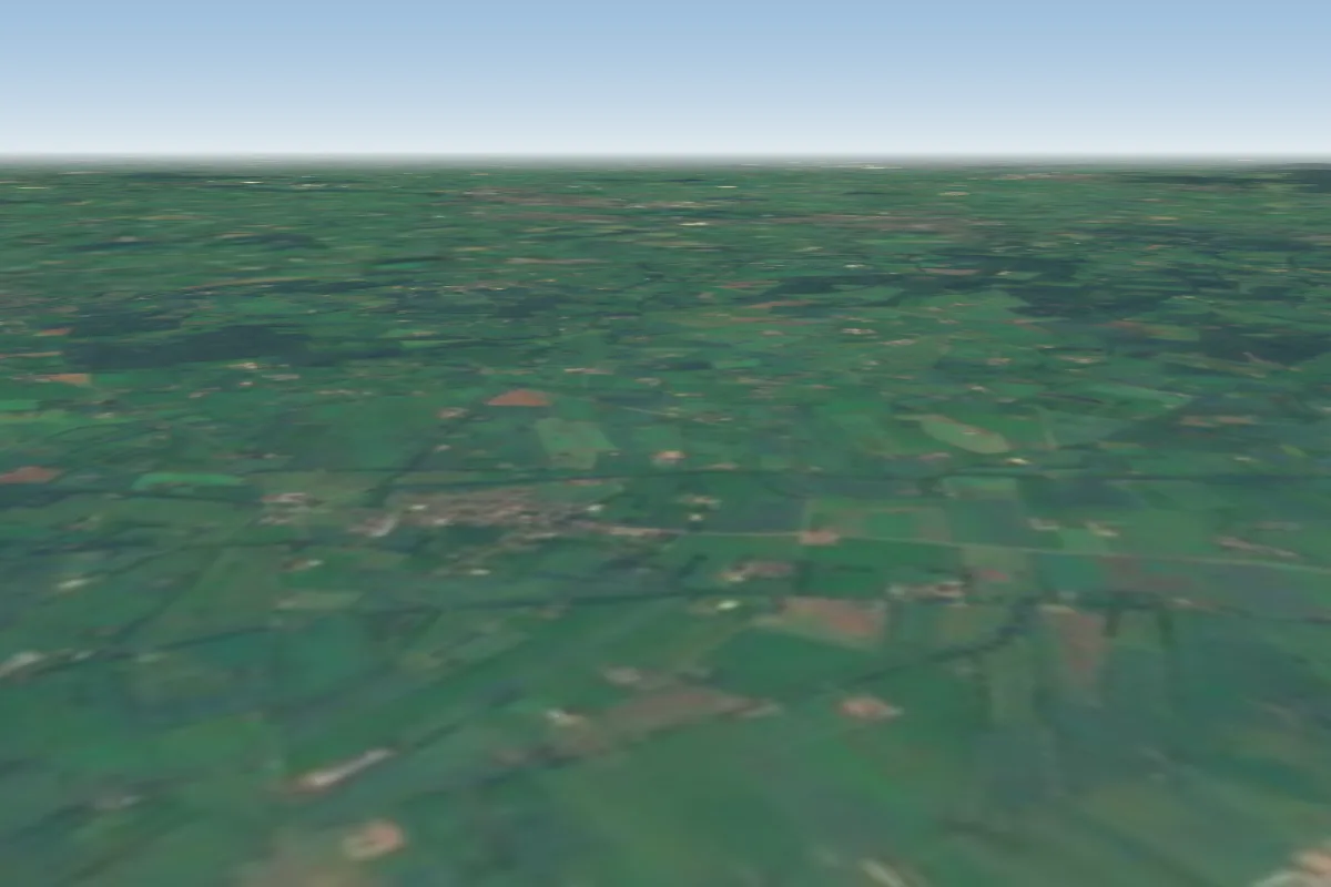
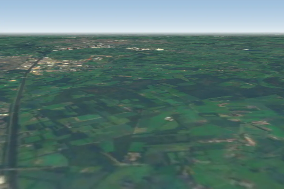
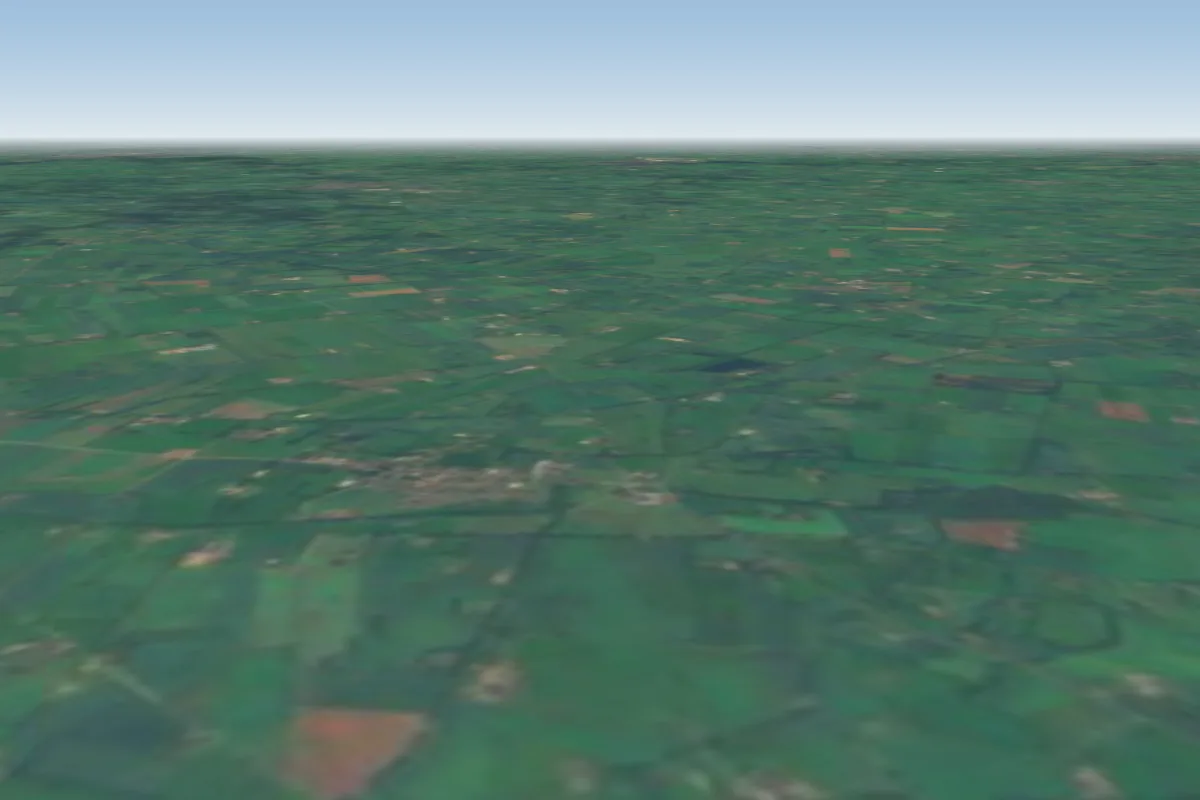
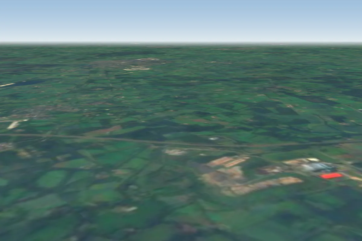
Pilot notes
No notes yet. Flown Op Het Eiland? Tell the next pilot what to expect.
Pilot notes on Op Het Eiland
Flying Op Het Eiland?
Takeoff, landing, rules, the hour by hour forecast and live wind are in the site details on the map.
Open site detailsSources
- ParaglidingEarth site record © ParaglidingEarth contributors (CC BY-SA)