Saint-Martin-aux-Buneaux
W to NW facing ridge site · 54 m takeoff
Overview
Saint-Martin-aux-Buneaux is a hill site in France with a recorded launch elevation of 54 m. It is recorded as workable in westerly and north-westerly winds. Pilots fly it for ridge soaring, using foot launch.
- Sous la TMA de Deauville (760m/mer) 300m vers la gauche et limité en cross vers la droite ( 800m !! Source: ParaglidingEarth
When to go
Flyable days per month in a typical year.
Flyable days for Saint-Martin-aux-Buneaux are on the way. We are scoring ten years of weather for every site, month by month, against this site, its region and the sites around it.
Local weather notes
- Idéalement par vent de Nord-Ouest de 22 kmh Balise météo : https://www.openwindmap.org/PP803 (sur fécamp) Source: ParaglidingEarth
Getting there
Nearest airports
- DOL Deauville Normandie airport61 km
- CFR Caen Carpiquet airport104 km
- BVA Beauvais-Tillé airport120 km
Where to stay
The nearest towns, for a bed, food and a lift to takeoff.
- Fécamp16 km awayBooking.comAirbnb
- Yvetot29 km awayBooking.comAirbnb
- Bolbec31 km awayBooking.comAirbnb
Things to do
For the days the wind is wrong: places worth a visit within 10 km of Saint-Martin-aux-Buneaux.


Flying nearby
See them on the map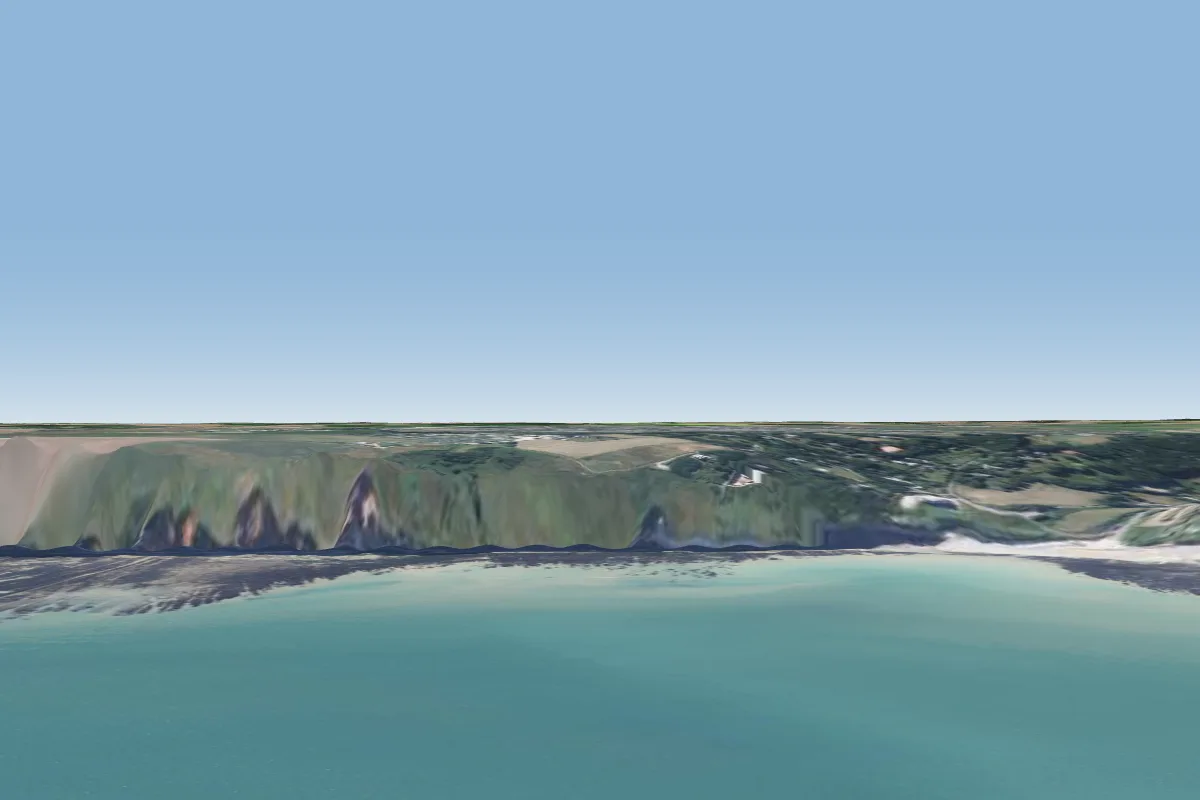 Saint-Pierre-en-Port haut6 km SW
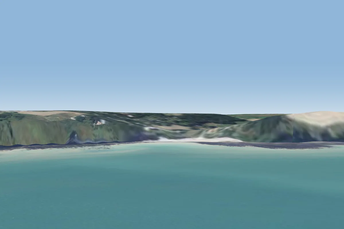 Saint-Pierre-en-Port bas6 km SW
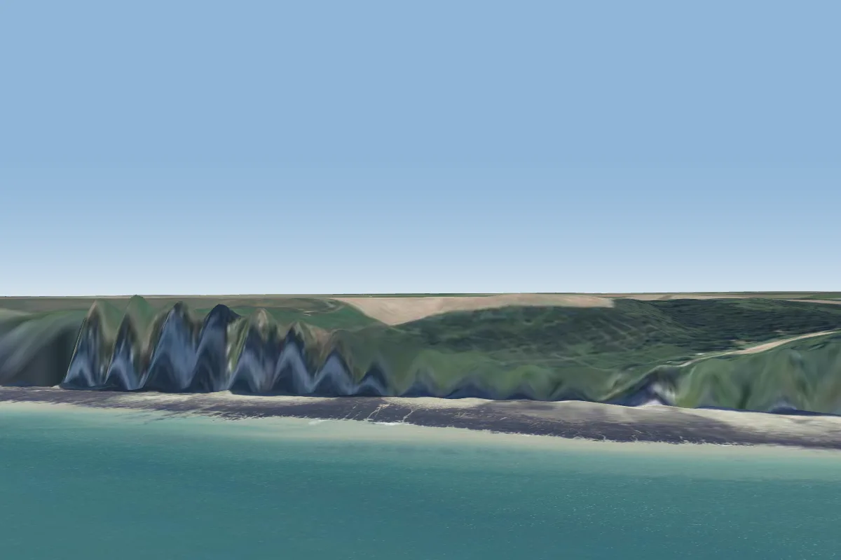 Életot11 km SW · Faces NW
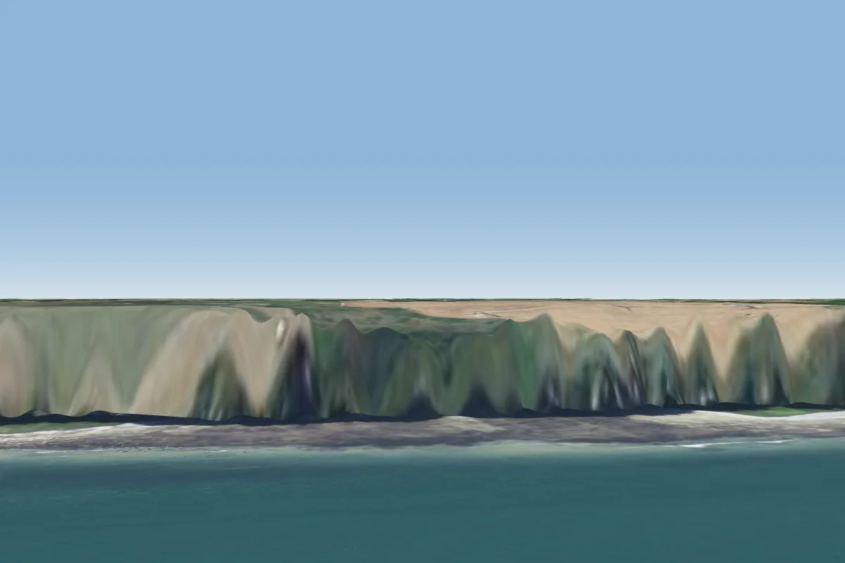 Fécamp Val St Nicolas15 km SW · Faces NW
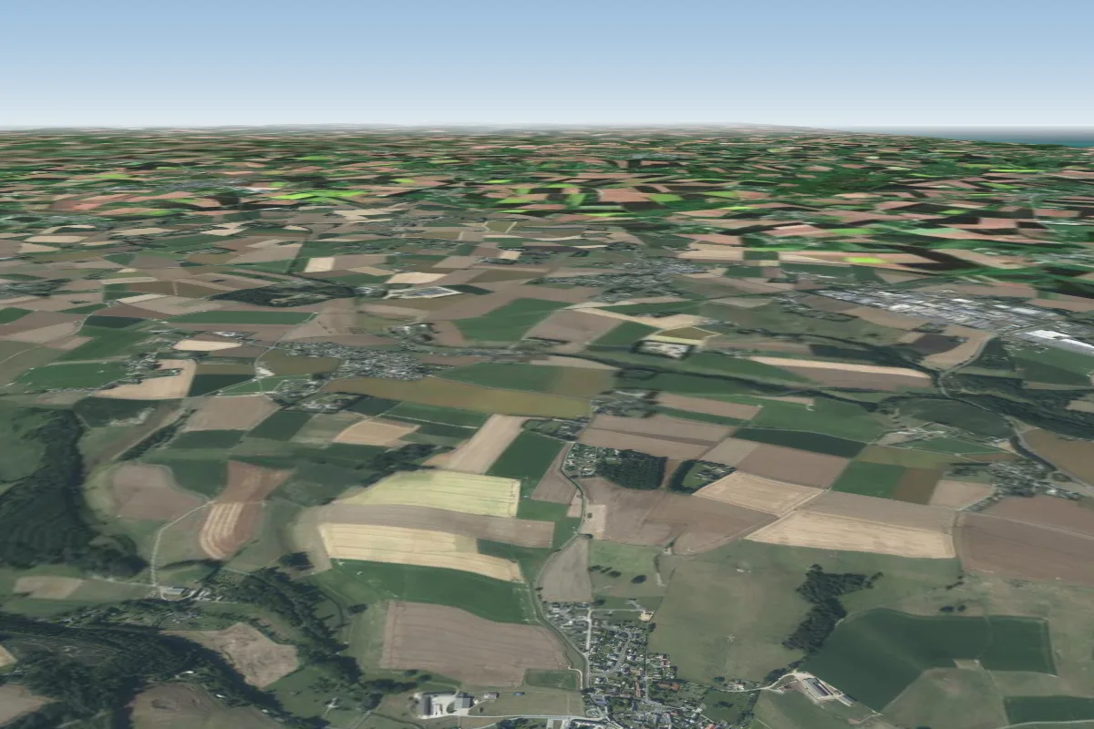 Ganzeville - Pente-ecole17 km SW · Faces NEWorks in other winds
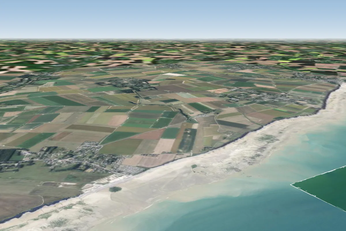 Saussemare23 km E
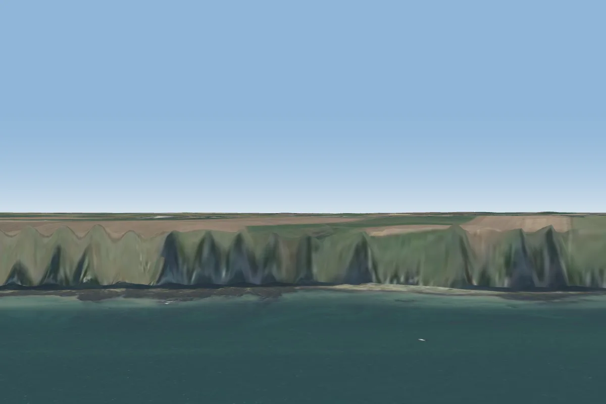 Bénouville - Valleuse du curé26 km SW · Faces NW
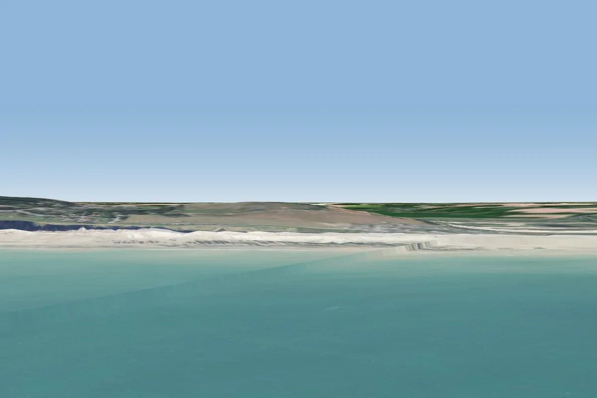 Ste Marguerite sur Mer28 km E · Faces NW–NWorks in other winds
Pilot notes
No notes yet. Flown Saint-Martin-aux-Buneaux? Tell the next pilot what to expect.
Pilot notes on Saint-Martin-aux-Buneaux
Flying Saint-Martin-aux-Buneaux?
Takeoff, landing, rules, the hour by hour forecast and live wind are in the site details on the map.
Open site detailsSources
- ParaglidingEarth site record © ParaglidingEarth contributors (CC BY-SA)