Lurcy levis
Faces NE, SW site · 224 m takeoff
Overview
Lurcy levis is a flying site in France with a recorded launch elevation of 224 m. It works best in north-easterly and south-westerly winds.
When to go
Flyable days per month in a typical year.
Flyable days for Lurcy levis are on the way. We are scoring ten years of weather for every site, month by month, against this site, its region and the sites around it.
Getting there
Nearest airports
- CFE Clermont-Ferrand Auvergne airport104 km
- LIG Limoges Airport166 km
- TUF Tours Val de Loire Airport186 km
Where to stay
The nearest towns, for a bed, food and a lift to takeoff.
- Moulins34 km awayBooking.comAirbnb
- Saint-Amand-Montrond34 km awayBooking.comAirbnb
- Nevers35 km awayBooking.comAirbnb
Flying nearby
See them on the map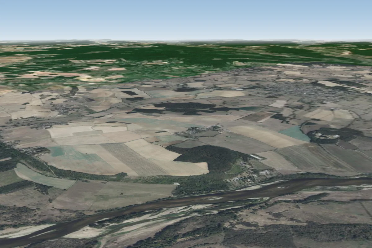 Germigny-sur-Loire39 km N
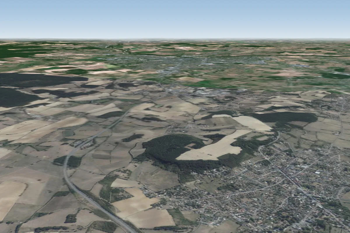 Pougues-les-Eaux42 km N · Faces NPossible XC from here on a SW day, 42 km downwindWorks in other winds
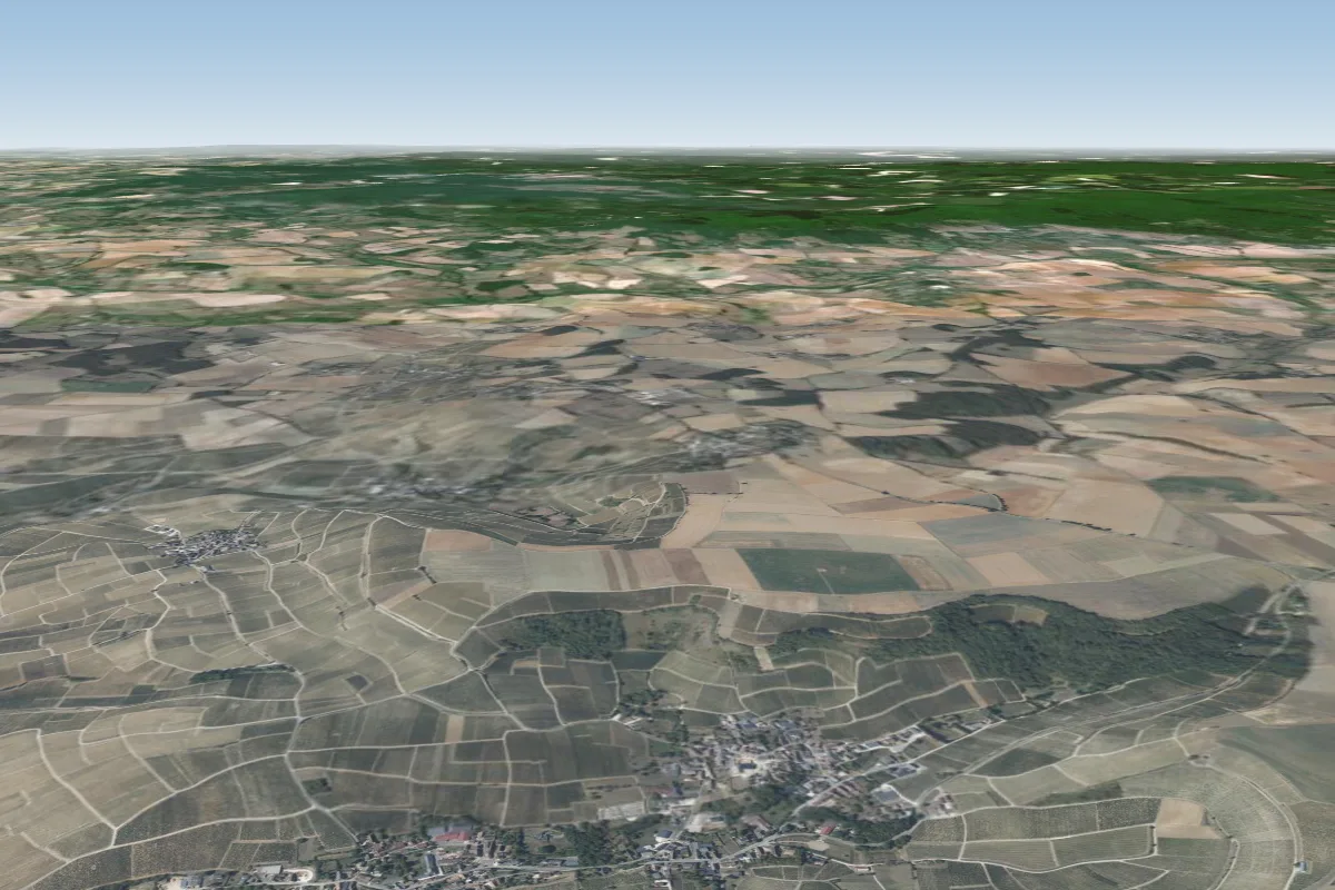 Bué68 km N · Faces EWorks in other winds
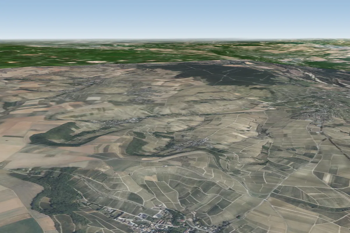 La Poussie69 km N · Faces S–SWWorks in other winds
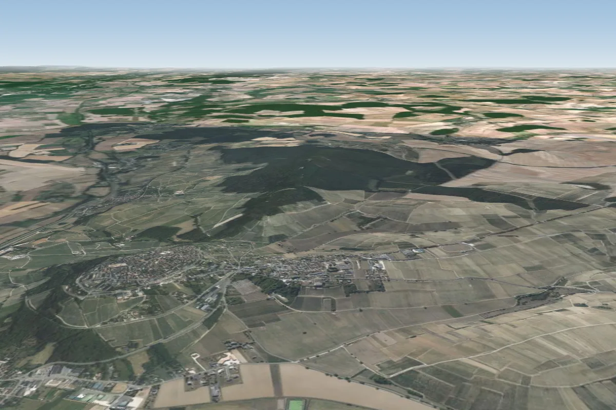 Les Caves69 km N
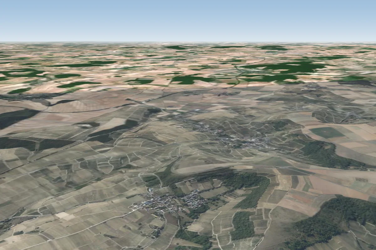 Amigny69 km N · Faces N–NEWorks in other winds
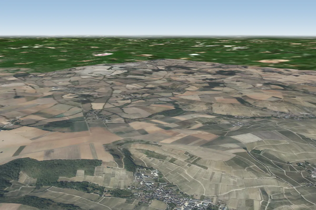 Chavignol71 km N · Faces SEWorks in other winds
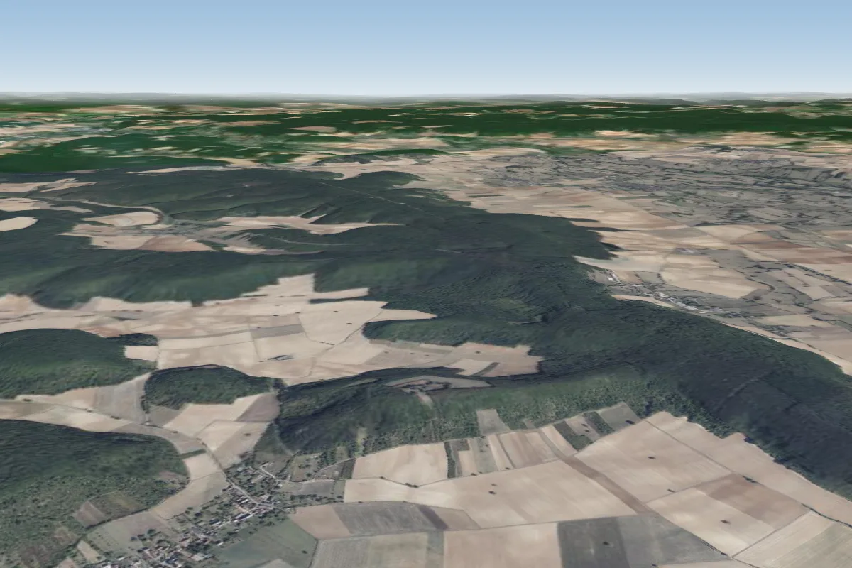 Grenois81 km NE · Faces SPossible XC from here on a SW day, 81 km downwindWorks in other winds
Pilot notes
No notes yet. Flown Lurcy levis? Tell the next pilot what to expect.
Pilot notes on Lurcy levis
Flying Lurcy levis?
Takeoff, landing, rules, the hour by hour forecast and live wind are in the site details on the map.
Open site detailsSources
- ParaglidingEarth site record © ParaglidingEarth contributors (CC BY-SA)