Clecy-st omer
S to W facing ridge site · 177 m takeoff · 136 m height gain
Overview
Clecy-st omer is a flatland site in France with a recorded launch elevation of 177 m. It works best in southerly, south-westerly and westerly winds. Pilots fly it for ridge soaring and thermal, using foot launch.
- very popular. Source: ParaglidingEarth
When to go
Flyable days per month in a typical year.
Flyable days for Clecy-st omer are on the way. We are scoring ten years of weather for every site, month by month, against this site, its region and the sites around it.
Local weather notes
- there is a weather cast on 143.9875 Mhz every 20 min Source: ParaglidingEarth
Getting there
Nearest airports
- CFR Caen Carpiquet airport28 km
- DOL Deauville Normandie airport66 km
- JER Jersey Airport129 km
Where to stay
The nearest towns, for a bed, food and a lift to takeoff.
- Falaise20 km awayBooking.comAirbnb
- Flers21 km awayBooking.comAirbnb
- Ifs25 km awayBooking.comAirbnb
Things to do
For the days the wind is wrong: places worth a visit within 10 km of Clecy-st omer.

Flying nearby
See them on the map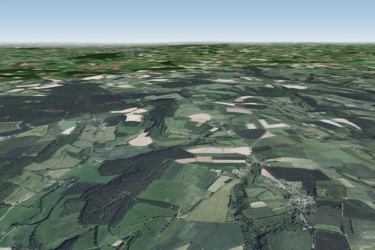 Le mont du pere2 km E · Faces SE, NWWorks in other winds
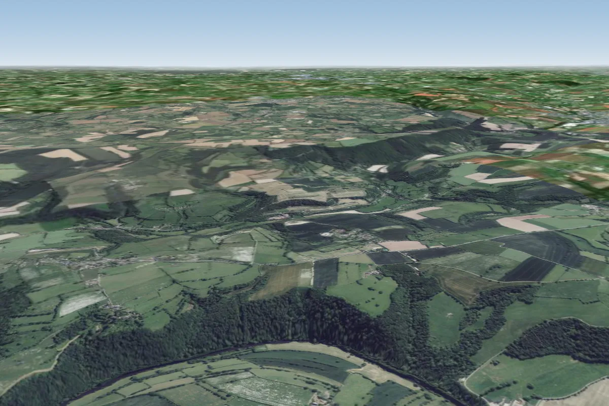 St Marc d'Ouilly6 km S · Faces NEWorks in other winds
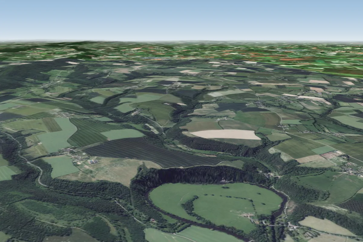 La Roche a Bunel7 km N · Faces EWorks in other winds
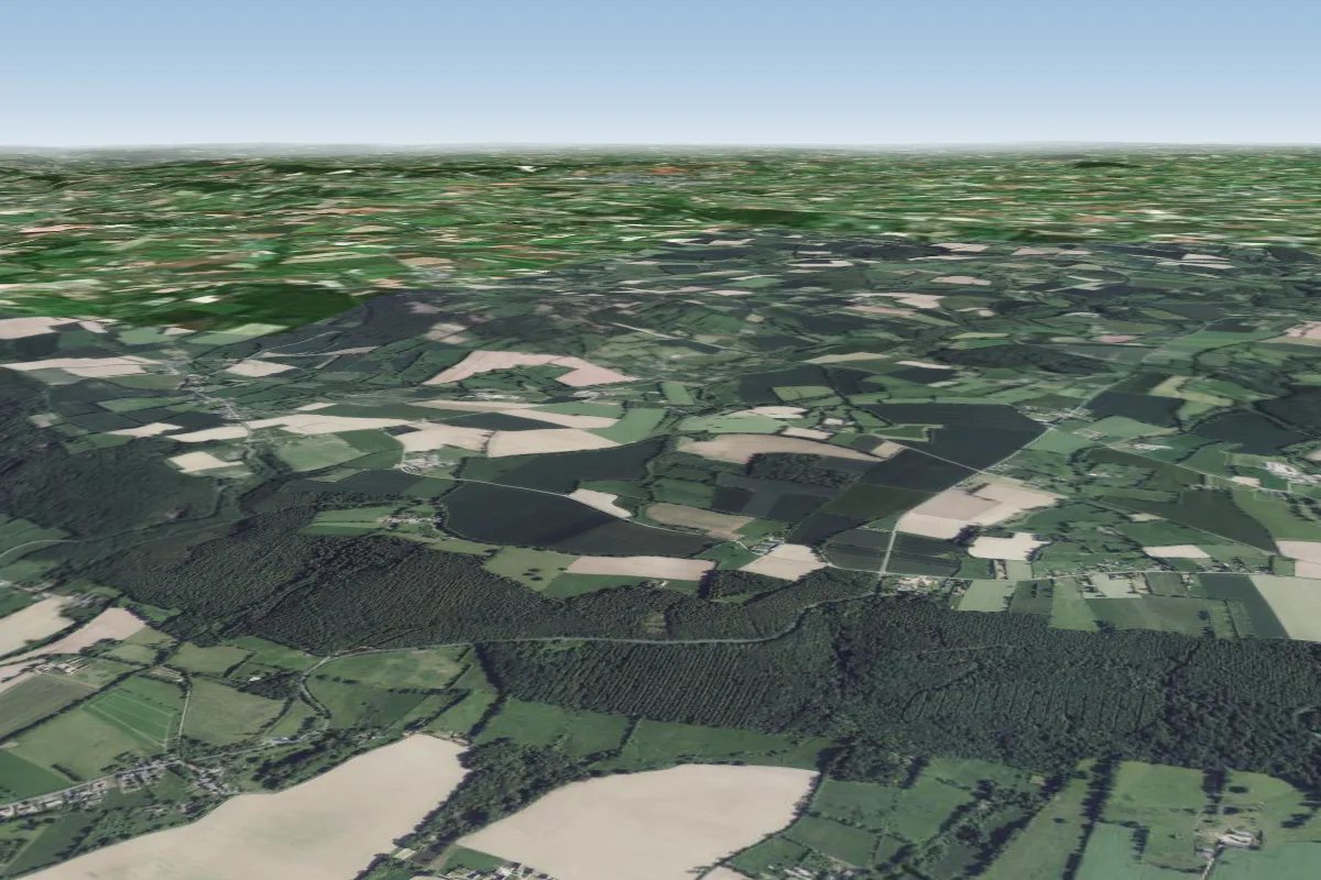 Aunay-sur-Odon16 km NW · Faces NWWorks in other winds
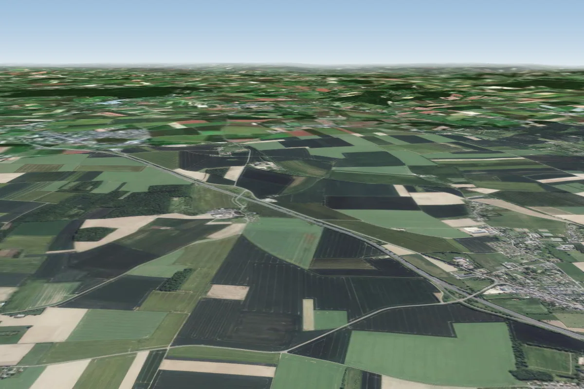 Stade plaine de falaise18 km NE · Faces NEWorks in other winds
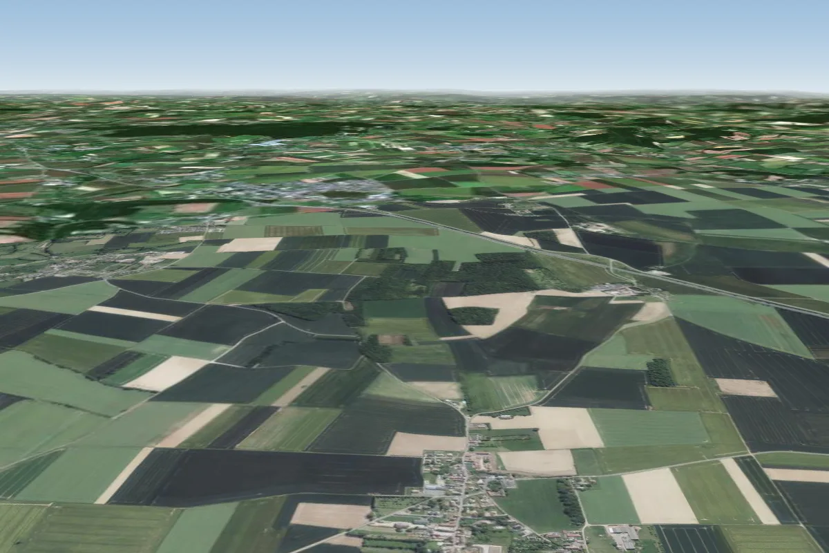 Ouilly le tesson19 km NE · Faces NEWorks in other winds
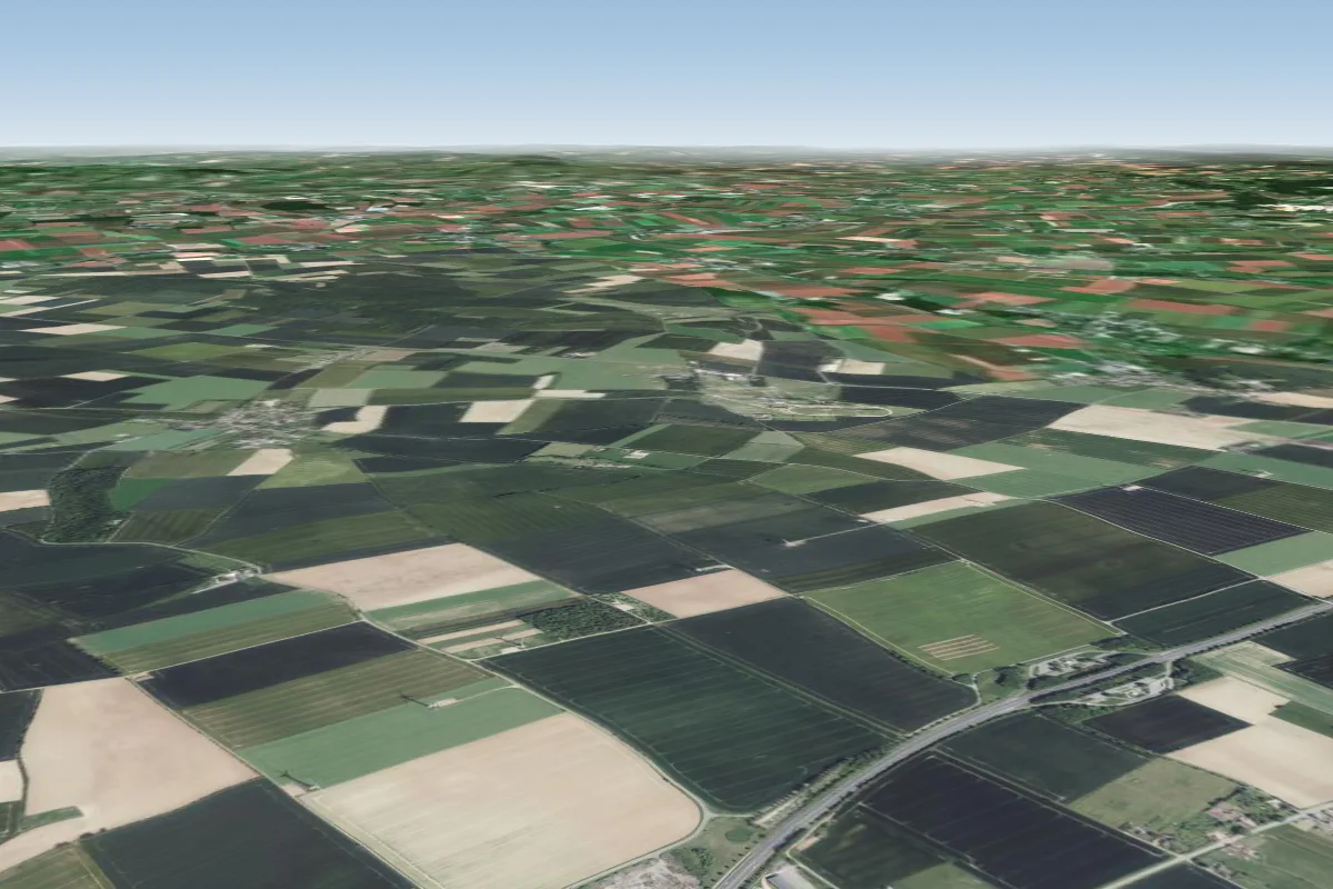 Soulangy20 km E · Faces NW–NWorks in other winds
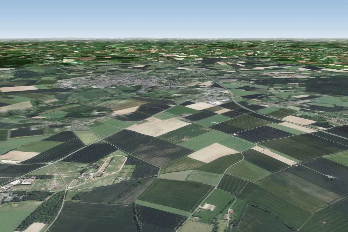 Versainville21 km E · Faces NW–NWorks in other winds
Pilot notes
No notes yet. Flown Clecy-st omer? Tell the next pilot what to expect.
Pilot notes on Clecy-st omer
Flying Clecy-st omer?
Takeoff, landing, rules, the hour by hour forecast and live wind are in the site details on the map.
Open site detailsSources
- ParaglidingEarth site record © ParaglidingEarth contributors (CC BY-SA)