Altmatt
SE to SW facing thermal site · 628 m takeoff
Overview
Altmatt is a mountain site in France with a recorded launch elevation of 628 m. It works best in south-easterly, southerly and south-westerly winds. Pilots fly it for thermal, using foot launch.
When to go
Flyable days per month in a typical year.
Flyable days for Altmatt are on the way. We are scoring ten years of weather for every site, month by month, against this site, its region and the sites around it.
Getting there
Nearest airports
- BSL EuroAirport Basel–Mulhouse–Freiburg58 km
- SXB Strasbourg Airport70 km
- FKB Karlsruhe Baden-Baden Airport112 km
Where to stay
The nearest towns, for a bed, food and a lift to takeoff.
- Munster5 km awayBooking.comAirbnb
- Gérardmer15 km awayBooking.comAirbnb
- Guebwiller17 km awayBooking.comAirbnb
Things to do
For the days the wind is wrong: places worth a visit within 10 km of Altmatt.
 Haut de FalimontOutdoors · 5 km awayPeak in the Vosges Mountains
 Jardin d'altitude du Haut ChiteletCulture · 5.2 km awayBotanical garden in Vosges, Lorraine, France
 Col de la SchluchtOutdoors · 5.3 km awayMountain pass in France
 Le TanetOutdoors · 6 km awayMountain in France
 Col du Petit BallonOutdoors · 6.2 km awayMountain pass in Haut-Rhin, France
 VosgesOutdoors · 6.5 km awayMountain range in France
 Petit BallonOutdoors · 6.8 km awayMountain in France
 Lac de la LandeOutdoors · 7.2 km awayLake in France
Flying nearby
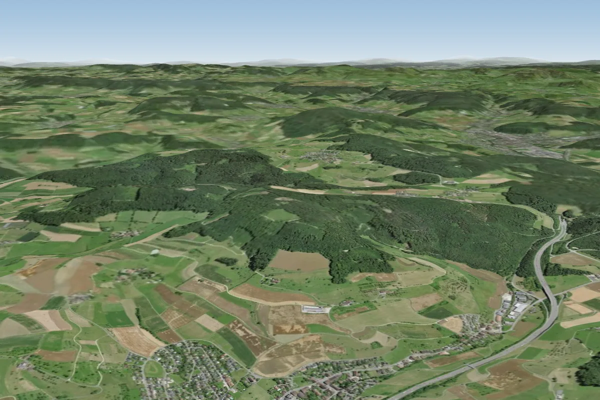
See them on the map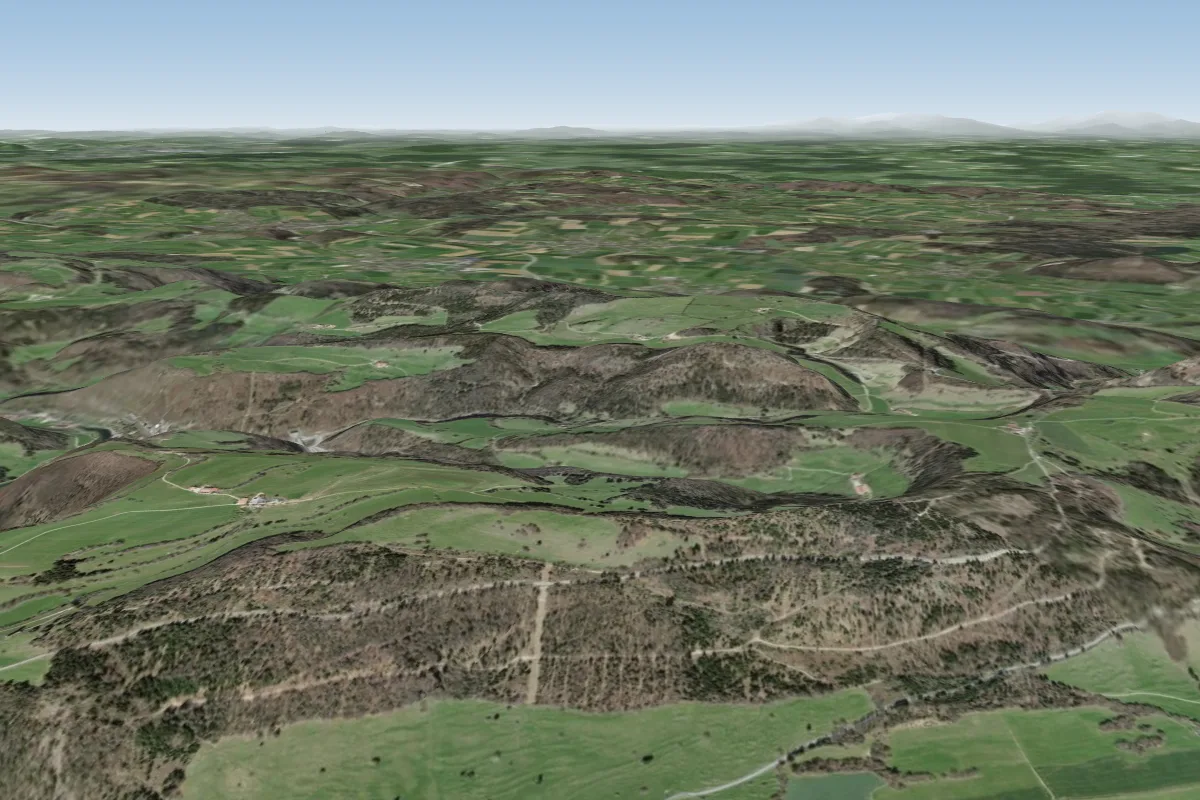
Pilot notes
No notes yet. Flown Altmatt? Tell the next pilot what to expect.
Pilot notes on Altmatt
Flying Altmatt?
Takeoff, landing, rules, the hour by hour forecast and live wind are in the site details on the map.
Open site detailsSources
- ParaglidingEarth site record © ParaglidingEarth contributors (CC BY-SA)