Takeoff
- Take-offNorth Takeoff and North West.1,288 m · Source: ParaglidingEarth
1,288 m · 41.9130, -7.6927 · Directions
NW to N facing thermal site · 1,288 m takeoff · 453 m height gain
Baltar is a mountain site in Spain with a recorded launch elevation of 1,288 m. It works best in northerly and north-westerly winds. Pilots fly it for thermal, using foot launch. It is recorded as suitable for cross-country flights.
1,288 m · 41.9130, -7.6927 · Directions
835 m · 3 km away · glide 1:6.6
Flyable days per month in a typical year.
Flyable days for Baltar are on the way. We are scoring ten years of weather for every site, month by month, against this site, its region and the sites around it.
Public transport directions from Vila Real Airport (Google Maps)All travel options from Vila Real Airport (Rome2Rio)
Hour by hour, live wind and stations on the map
Forecasts are planning aids, not safety clearance. Check current observations, official airspace and NOTAM information, local rules and your own experience before every flight.
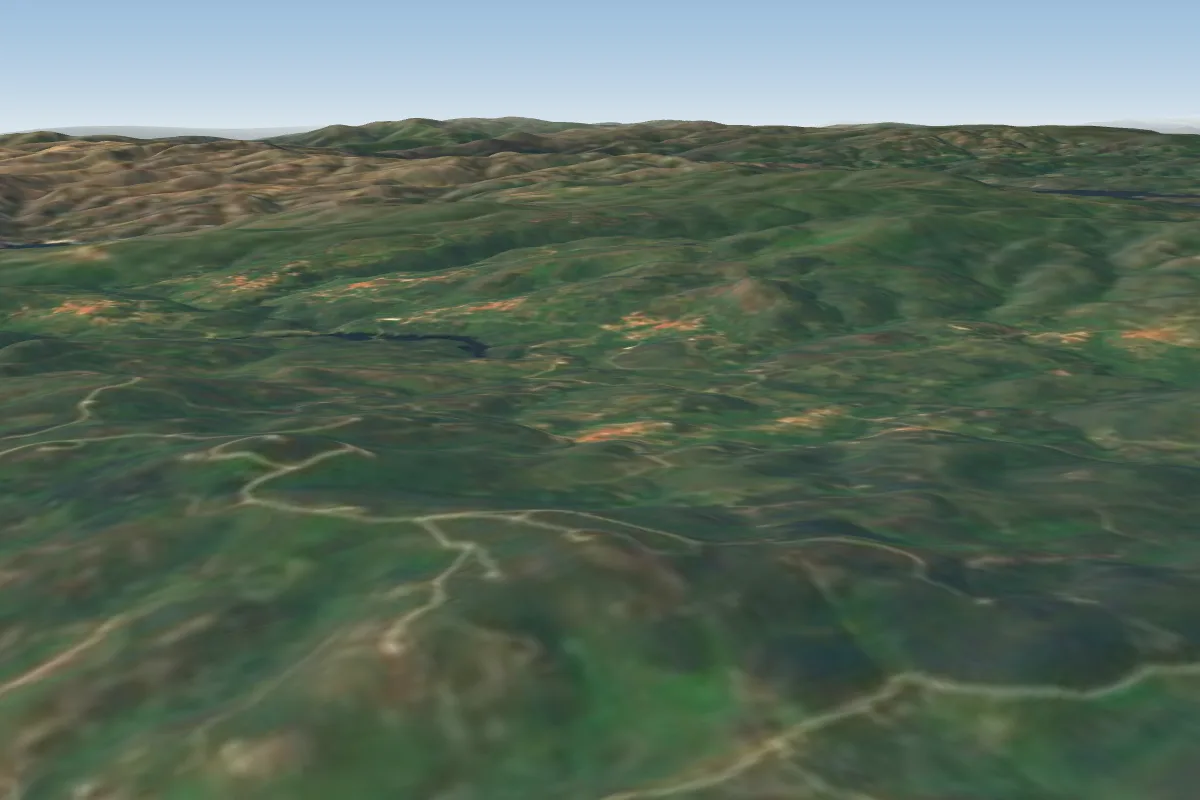 Castanheira17 km SW
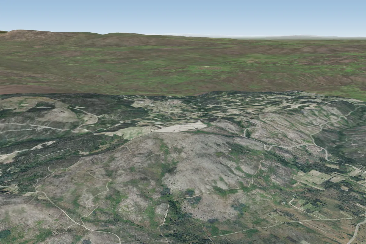 Oimbra18 km EPossible XC from here on a NW day, 18 km downwind
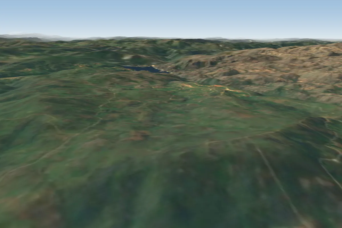 Monte do Pisco - Tourém19 km W · Faces N
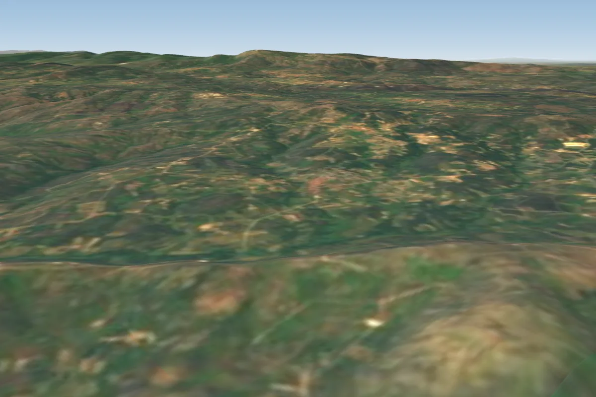 Serra da Olga _Chaves20 km SE · Faces SE–SPossible XC from here on a NW day, 20 km downwindWorks in other winds
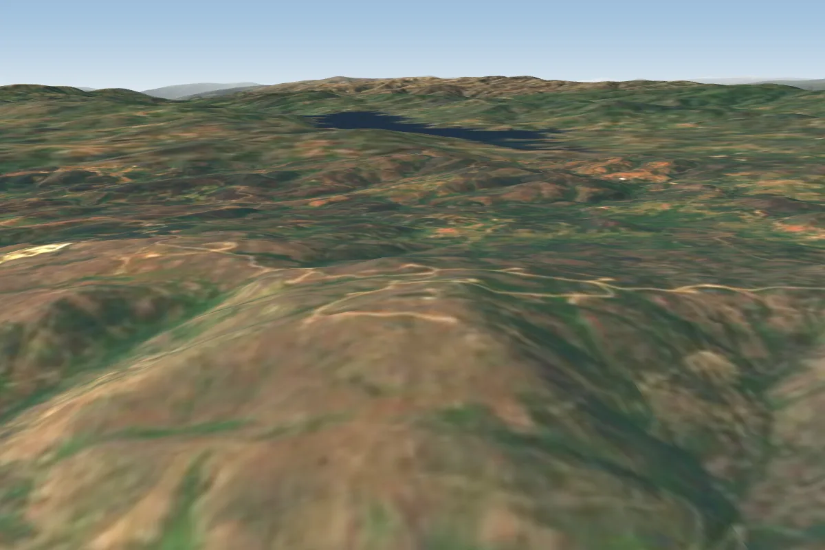 Leiranco Mountain21 km S · Faces EPossible XC from here on a N day, 21 km downwindWorks in other winds
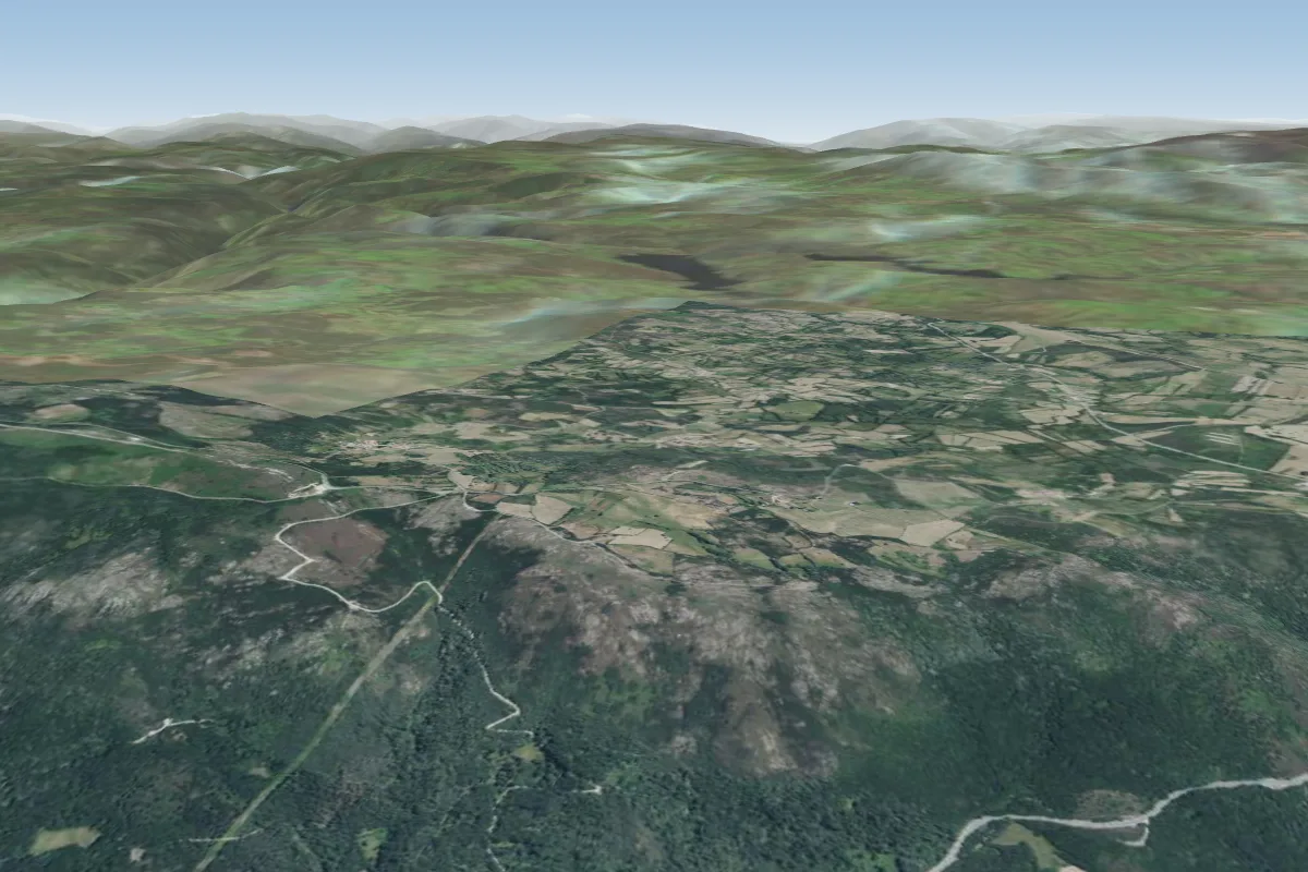 Rodicio, Galicia (Spain)45 km N
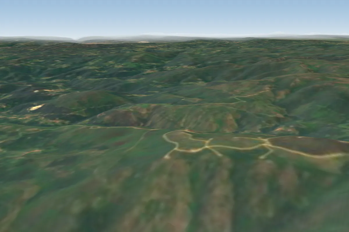 Melgaço-Côto do Pomedelo- Roussas47 km NW
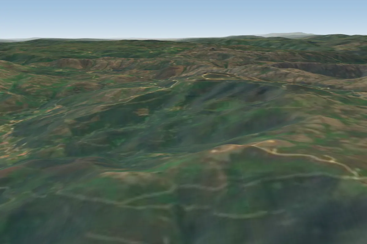 S. António Valpoldres51 km W