Stüppel Andreasberg
Site · 740 m takeoff
Overview
Stüppel Andreasberg is a flying site in Germany with a recorded launch elevation of 740 m. No launch directions are recorded yet.
- imported from http://xc.dhv.de Source: ParaglidingEarth
When to go
Flyable days per month in a typical year.
Flyable days for Stüppel Andreasberg are on the way. We are scoring ten years of weather for every site, month by month, against this site, its region and the sites around it.
Getting there
Nearest airports
- PAD Paderborn Lippstadt Airport37 km
- KSF Kassel Airport57 km
- DTM Dortmund Airport73 km
Where to stay
The nearest towns, for a bed, food and a lift to takeoff.
- Willingen (Upland)1 km awayBooking.comAirbnb
- Olsberg11 km awayBooking.comAirbnb
- Winterberg11 km awayBooking.comAirbnb
Things to do
For the days the wind is wrong: places worth a visit within 10 km of Stüppel Andreasberg.
 HochheideturmCulture · 0.6 km awayObservation tower with artificial climbing wall in Germany
 EttelsbergOutdoors · 0.7 km awayMountain in Germany
 MühlenkopfOutdoors · 1.3 km awayMountain in Hesse, Germany
 MühlenkopfschanzeOutdoors · 1.5 km awaySki jumping hill in Willingen, Germany
 Orenberg (Upland)Outdoors · 1.7 km awayMountain of Waldeck-Frankenberg, Hesse, Germany
- Iberg (Upland)Outdoors · 1.9 km awayMountain in Hesse, Germany
 Langenberg (Rothaar)Outdoors · 3 km awayMountain in Germany
 Hohe PönOutdoors · 3 km awayGerman mountain
Flying nearby
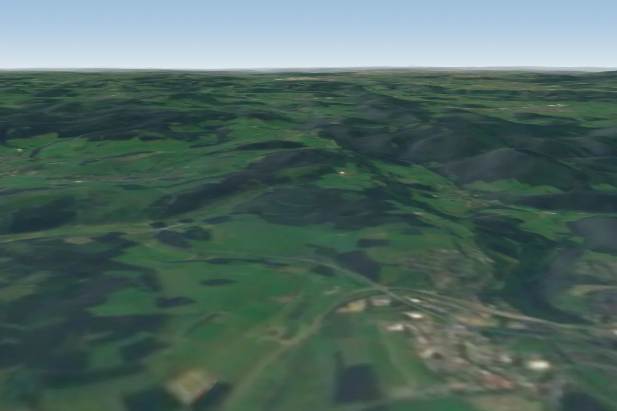
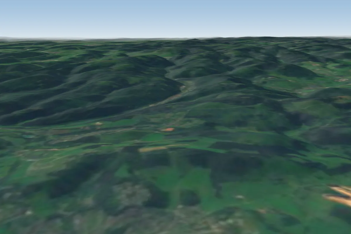
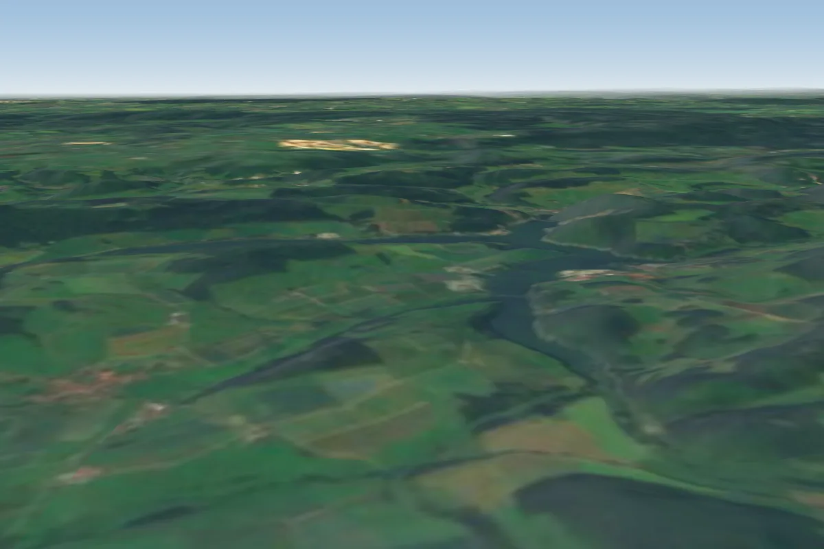
See them on the map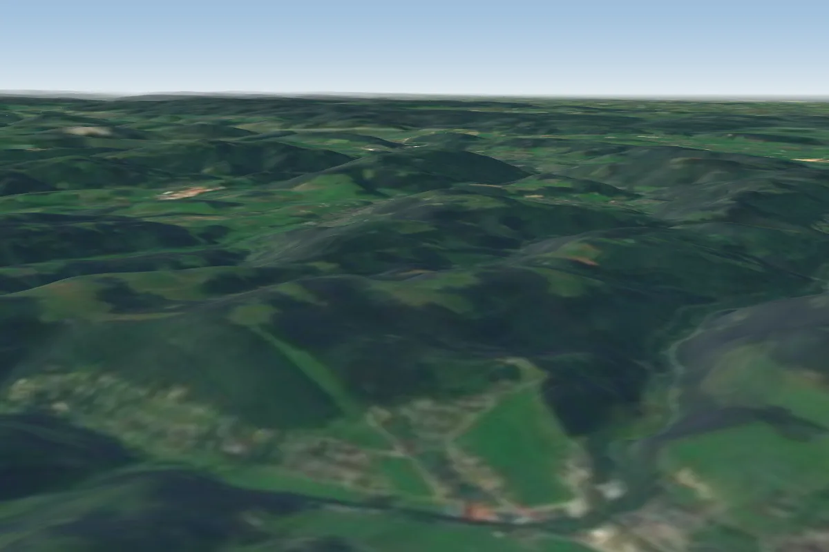

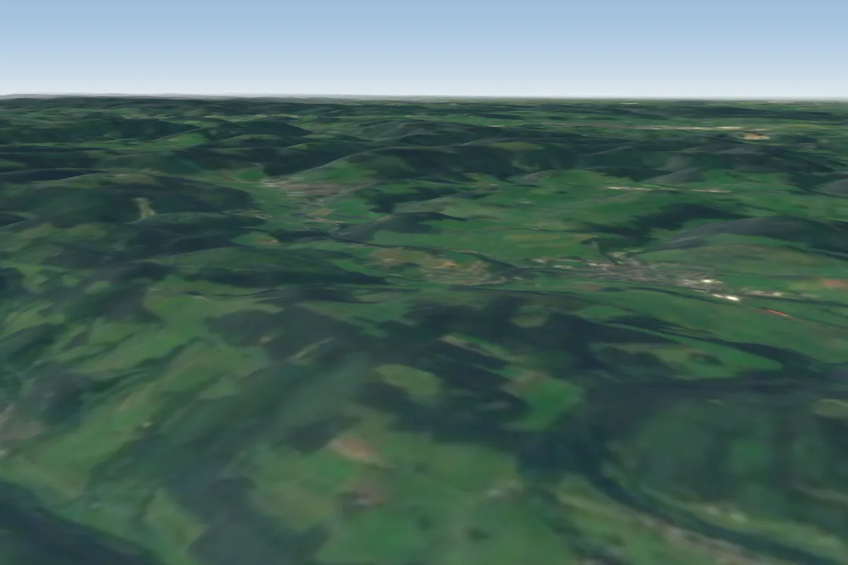
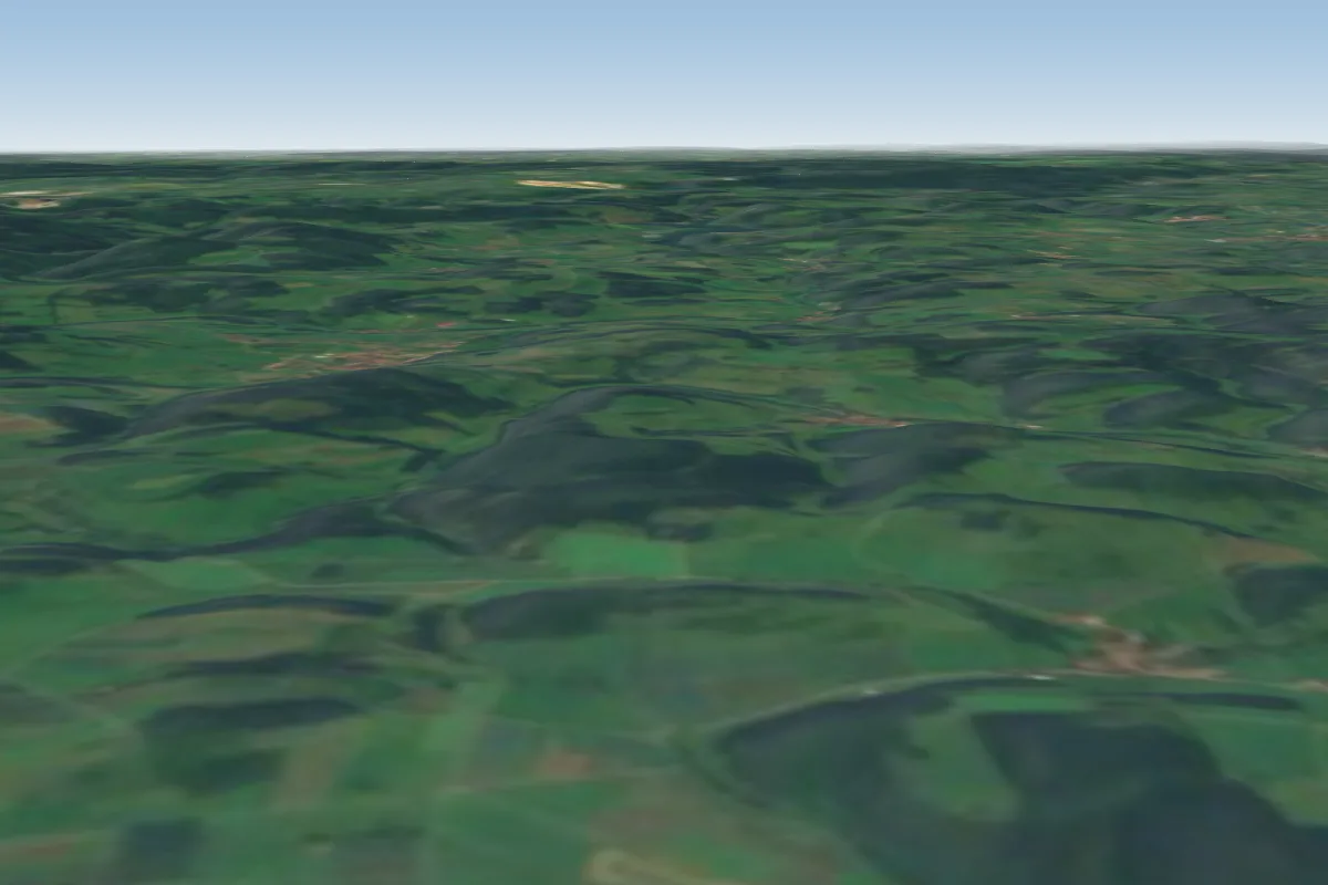
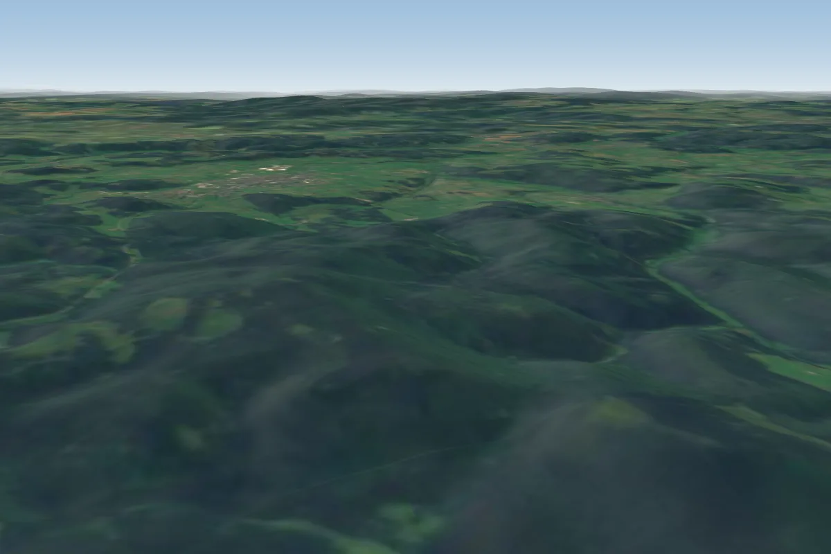
Pilot notes
No notes yet. Flown Stüppel Andreasberg? Tell the next pilot what to expect.
Pilot notes on Stüppel Andreasberg
Flying Stüppel Andreasberg?
Takeoff, landing, rules, the hour by hour forecast and live wind are in the site details on the map.
Open site detailsSources
- ParaglidingEarth site record © ParaglidingEarth contributors (CC BY-SA)