Merkur
Faces NE, SW, W ridge site · 651 m takeoff · 397 m height gain
Overview
Merkur is a flatland site in Germany with a recorded launch elevation of 651 m. It works best in north-easterly, south-westerly and westerly winds, and can also work in southerly winds. Pilots fly it for ridge soaring and thermal, using foot launch. It is recorded as suitable for cross-country flights.
- Crowded on weekends. XC is usually one-way downwind to the east. Source: ParaglidingEarth
When to go
Flyable days per month in a typical year.
Flyable days for Merkur are on the way. We are scoring ten years of weather for every site, month by month, against this site, its region and the sites around it.
Local weather notes
- See https://www.schwarzwaldgeier.de/wetterstation-merkur/ for the current situation. Local wind is often a good deal stronger than meteo wind. Perfect groundhandling skills are a must. Source: ParaglidingEarth
Getting there
Nearest airports
- FKB Karlsruhe Baden-Baden Airport15 km
- SXB Strasbourg Airport54 km
- STR Stuttgart Airport70 km
Where to stay
The nearest towns, for a bed, food and a lift to takeoff.
- Baden-Baden3 km awayBooking.comAirbnb
- Gernsbach4 km awayBooking.comAirbnb
- Gaggenau5 km awayBooking.comAirbnb
Things to do
For the days the wind is wrong: places worth a visit within 10 km of Merkur.
 Merkur TowerCulture · 0.1 km awayRadio and television transmission tower in Germany
 Merkur (mountain)Outdoors · 0.4 km awayMountain in Germany
 Brahms House (Baden-Baden)Culture · 2.6 km awayGerman music museum
 New Castle (Baden-Baden)Culture · 2.8 km awayCastle in Baden-Baden
 Lichtentaler AlleeCulture · 3 km awayHistoric park and arboretum in Baden-Württemberg, Germany
 Festspielhaus Baden-BadenCulture · 3.5 km awayOpera and concert hall in Baden-Baden, Germany
 WaldeneckseeOutdoors · 6 km awayQuarry lake in Germany
 Geroldsau WaterfallOutdoors · 6.2 km awayWaterfall in Geroldsau
Flying nearby
See them on the map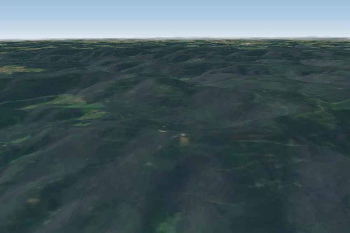 Loffenau Teufelsmühle9 km E · Faces SW–NWWorks in other winds
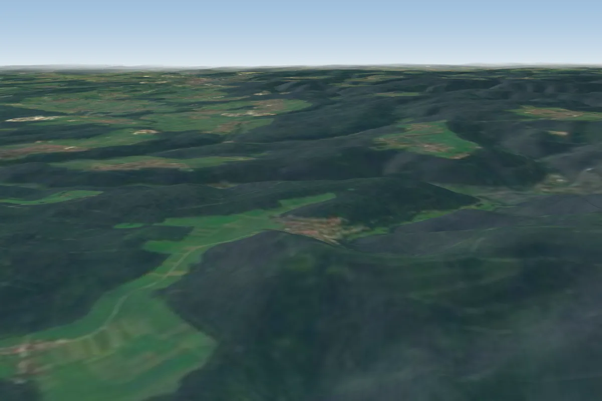 Althof11 km NE · Faces W
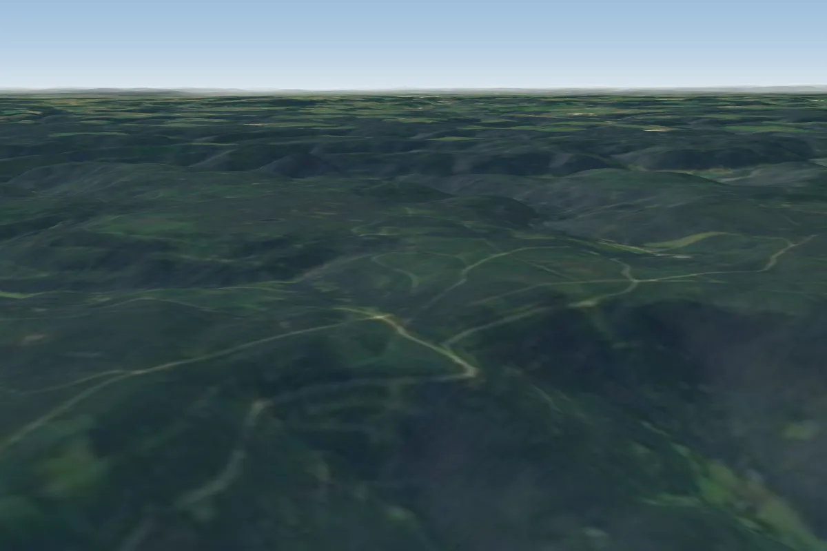 Reichental11 km E · Faces NWWorks in other winds
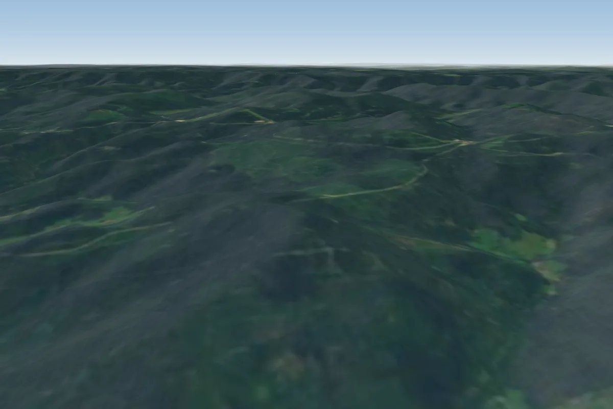 Omerskopf16 km SWPossible XC from here on a NE day, 16 km downwind
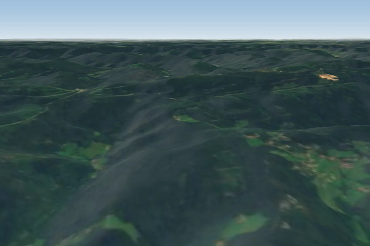 Sodkopf18 km SW · Faces W
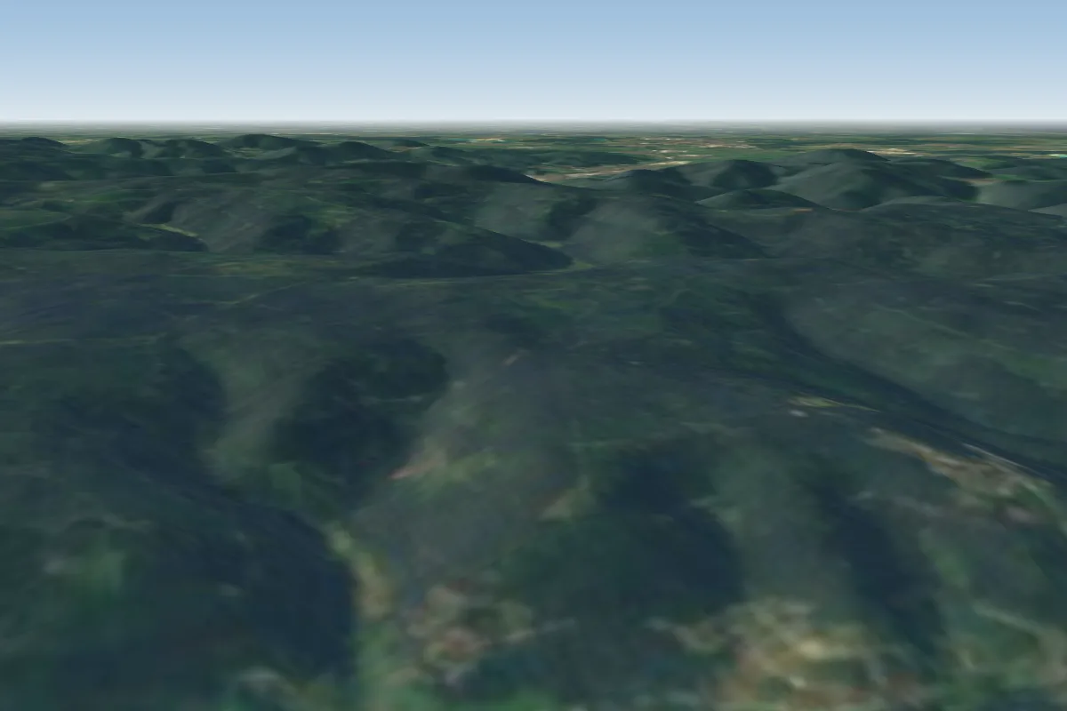 Auchhalder Kopf19 km E · Faces EPossible XC from here on a W day, 19 km downwindWorks in other winds
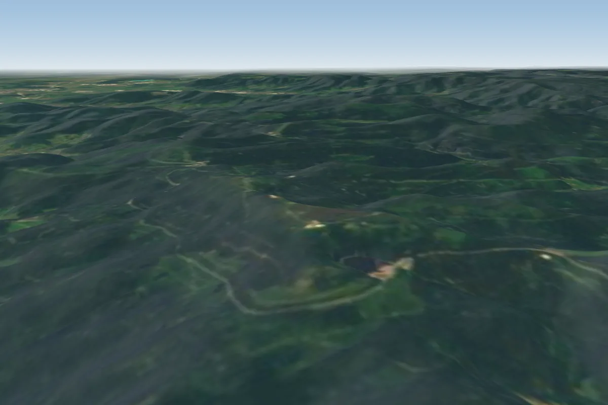 Katzenkopf20 km S · Faces S–SWPossible XC from here on a NE day, 20 km downwind
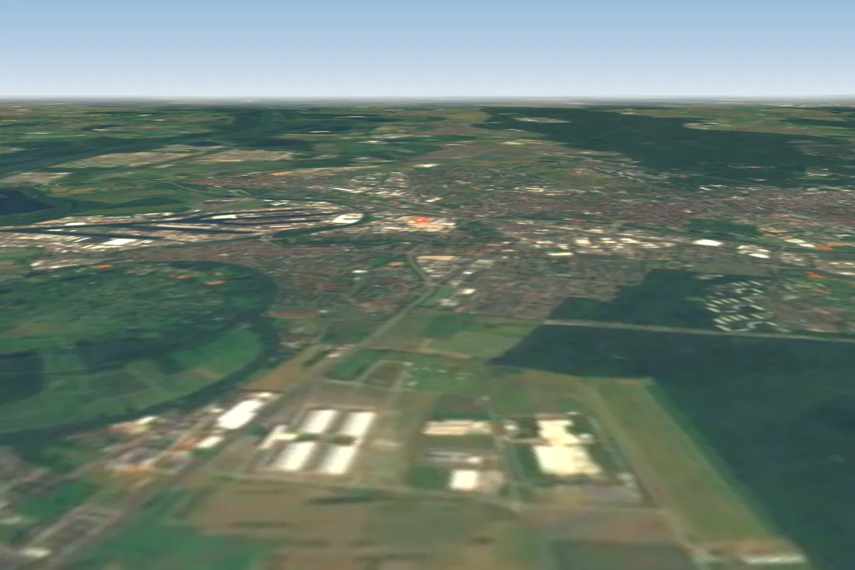 DM-Arena (Groundhandling only)25 km N · Faces NE, E, S, SWWorks in other winds
Pilot notes
No notes yet. Flown Merkur? Tell the next pilot what to expect.
Pilot notes on Merkur
Flying Merkur?
Takeoff, landing, rules, the hour by hour forecast and live wind are in the site details on the map.
Open site detailsSources
- ParaglidingEarth site record © ParaglidingEarth contributors (CC BY-SA)