Jaegerberg
South-east-facing ridge site · 286 m takeoff · 77 m height gain
Overview
Jaegerberg is a flatland site in Germany with a recorded launch elevation of 286 m. It works best in south-easterly winds, and can also work in easterly winds. Pilots fly it for ridge soaring and thermal, using foot launch and winch launch.
- if the wind is too strong or if you just feel like it, you can take your wing to the meadows of the airport behind the takeoff - enormous area to do some groundhandling! Source: ParaglidingEarth
When to go
Flyable days per month in a typical year.
Flyable days for Jaegerberg are on the way. We are scoring ten years of weather for every site, month by month, against this site, its region and the sites around it.
Local weather notes
- just need to get the weather right: from east to southsoutheast; northeast is a nogo. Source: ParaglidingEarth
Getting there
Nearest airports
- ERF Erfurt-Weimar Airport46 km
- LEJ Leipzig/Halle Airport66 km
- KLV Karlovy Vary Airport125 km
Things to do
For the days the wind is wrong: places worth a visit within 10 km of Jaegerberg.


Flying nearby
See them on the map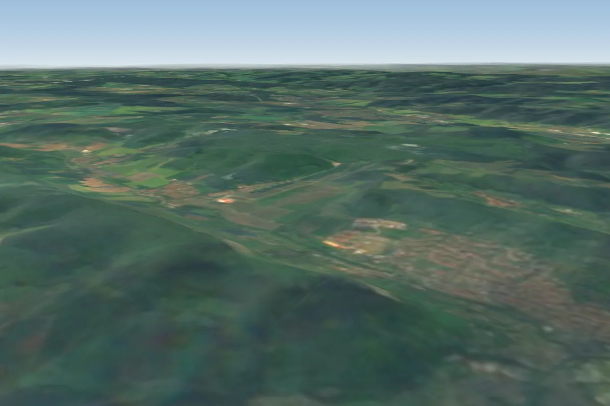 Jenzig northwest3 km S · Faces NWWorks in other winds
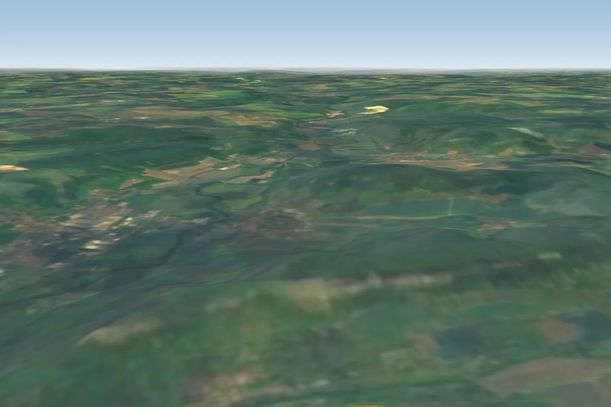 Jenzig south4 km S · Faces SWorks in other winds
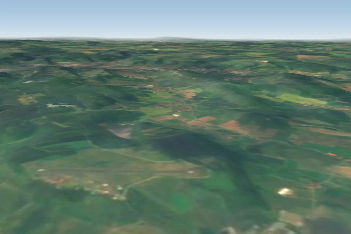 Flugplatz Schöngleina9 km SE
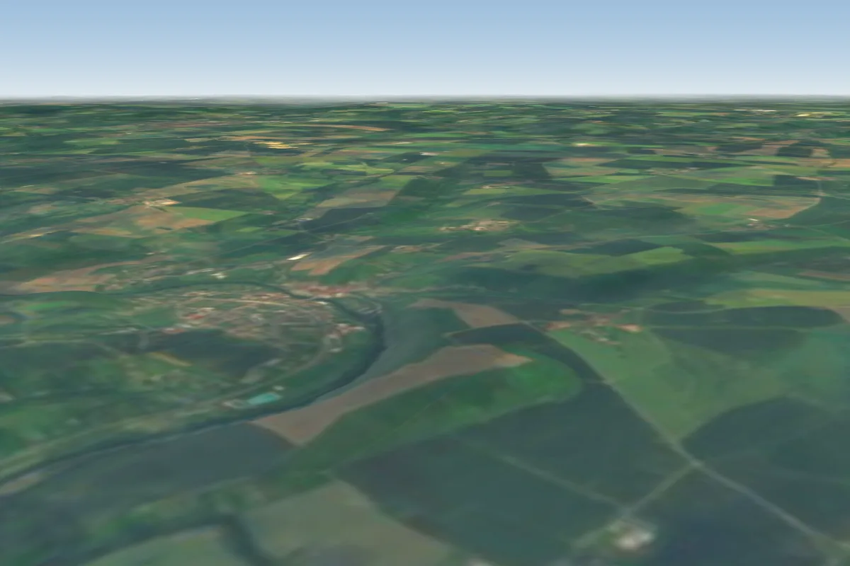 Wichmar10 km NE
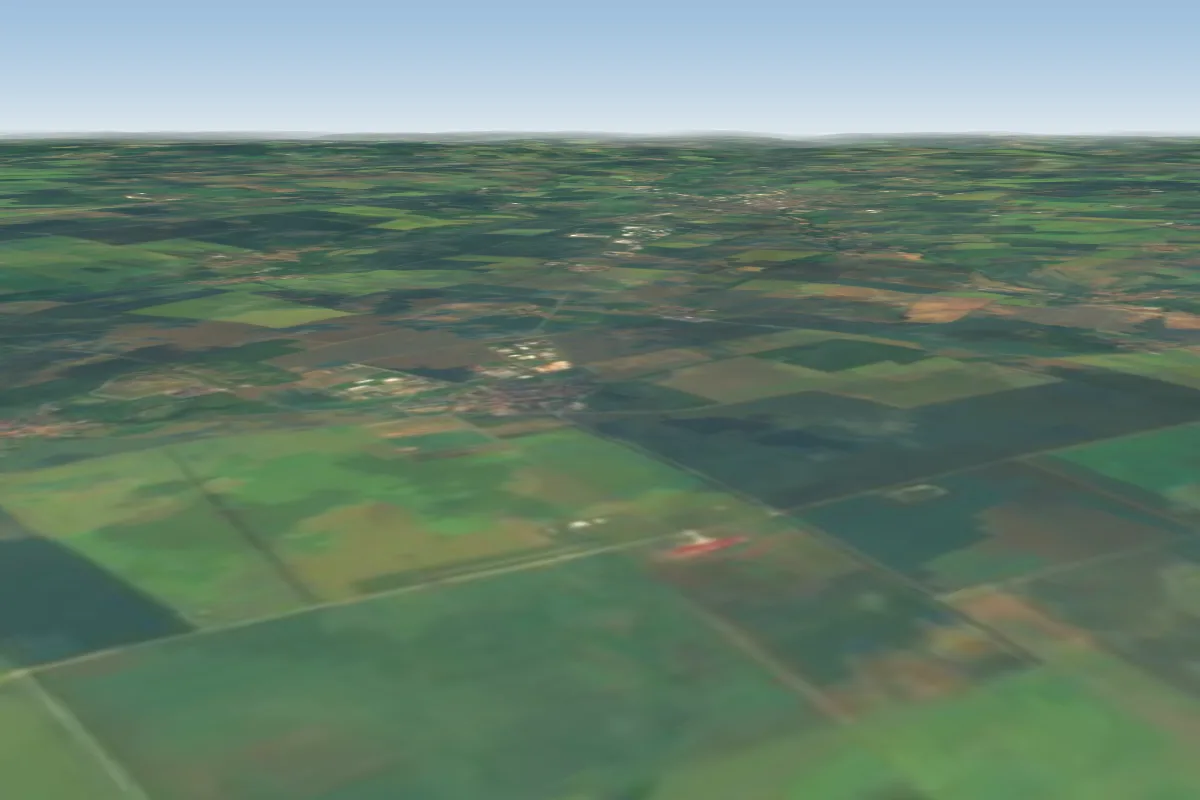 Airfield Weimar Umpferstedt15 km W
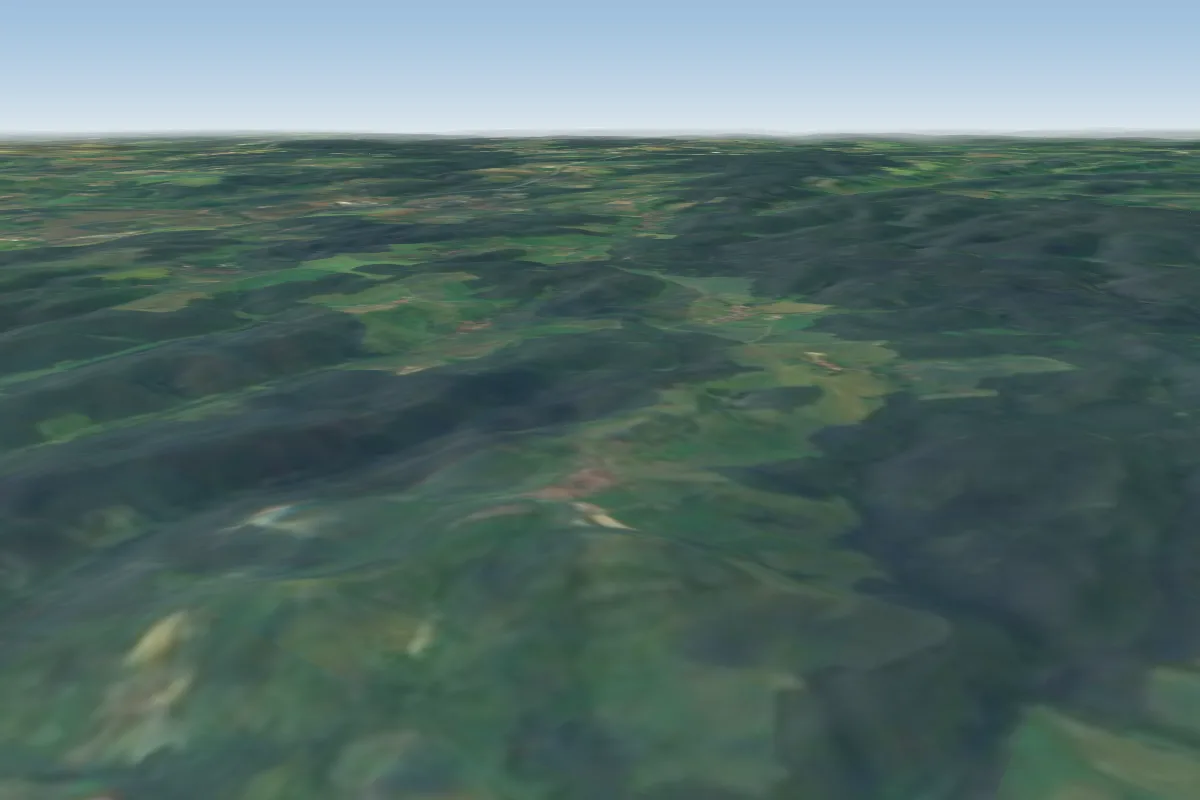 Leuchtenburg19 km S · Faces SWWorks in other winds
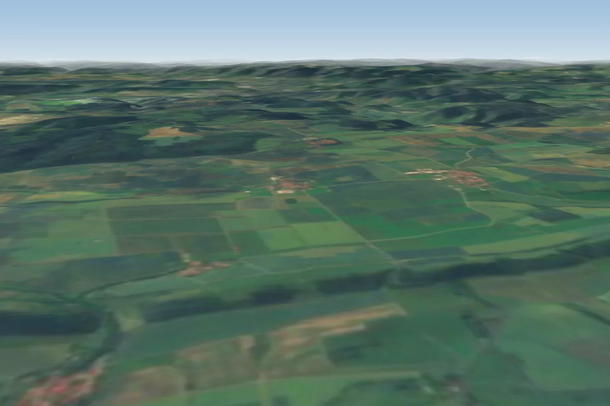 Blankenhain23 km SW · Faces NWorks in other winds
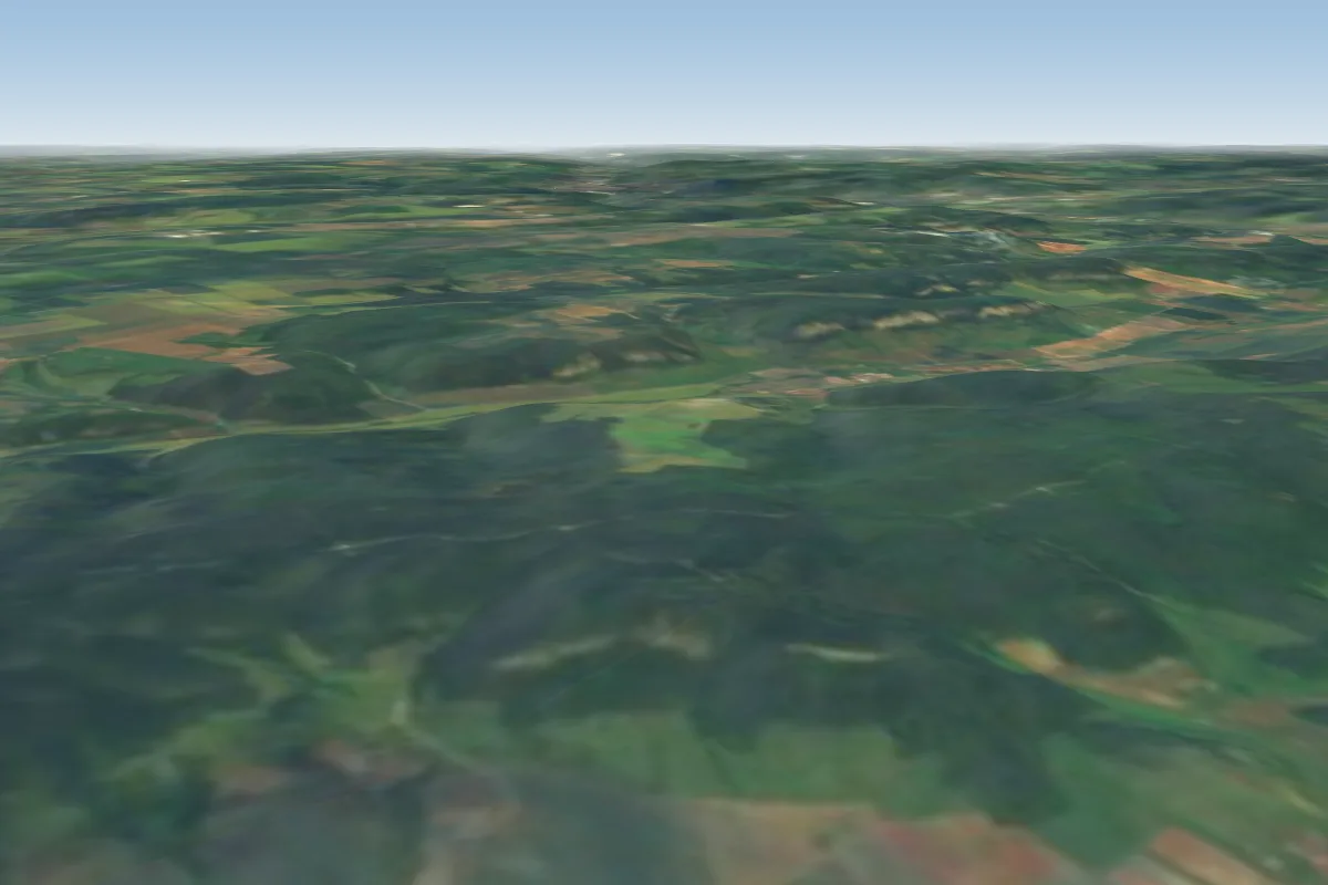 Engerda24 km SW · Faces SWWorks in other winds
Pilot notes
No notes yet. Flown Jaegerberg? Tell the next pilot what to expect.
Pilot notes on Jaegerberg
Flying Jaegerberg?
Takeoff, landing, rules, the hour by hour forecast and live wind are in the site details on the map.
Open site detailsSources
- ParaglidingEarth site record © ParaglidingEarth contributors (CC BY-SA)