Berghaupten
East-facing ridge site · 409 m takeoff · 245 m height gain
Overview
Berghaupten is a hill site in Germany with a recorded launch elevation of 409 m. It works best in easterly winds, and can also work in north-easterly and south-easterly winds. Pilots fly it for ridge soaring, using foot launch.
- Soaring, east. XC is difficult because this is area usually below the rhine basin inversion, or gets humid air from there. It's one of these takeoffs you use when you're in the area anyway, but none you'd travel miles for. Source: ParaglidingEarth
When to go
Flyable days per month in a typical year.
Flyable days for Berghaupten are on the way. We are scoring ten years of weather for every site, month by month, against this site, its region and the sites around it.
Local weather notes
- Very suspectible to wind overflowing from the rhine basin. If you have moderate meteo wind from the east, but south wind in the rhine basin, the rhine basin will win and turn the takeoff into a lee side. Source: ParaglidingEarth
Getting there
Nearest airports
- SXB Strasbourg Airport28 km
- FKB Karlsruhe Baden-Baden Airport42 km
- BSL EuroAirport Basel–Mulhouse–Freiburg96 km
Where to stay
The nearest towns, for a bed, food and a lift to takeoff.
- Gengenbach4 km awayBooking.comAirbnb
- Offenburg6 km awayBooking.comAirbnb
- Zell am Harmersbach10 km awayBooking.comAirbnb
Things to do
For the days the wind is wrong: places worth a visit within 10 km of Berghaupten.

Flying nearby
See them on the map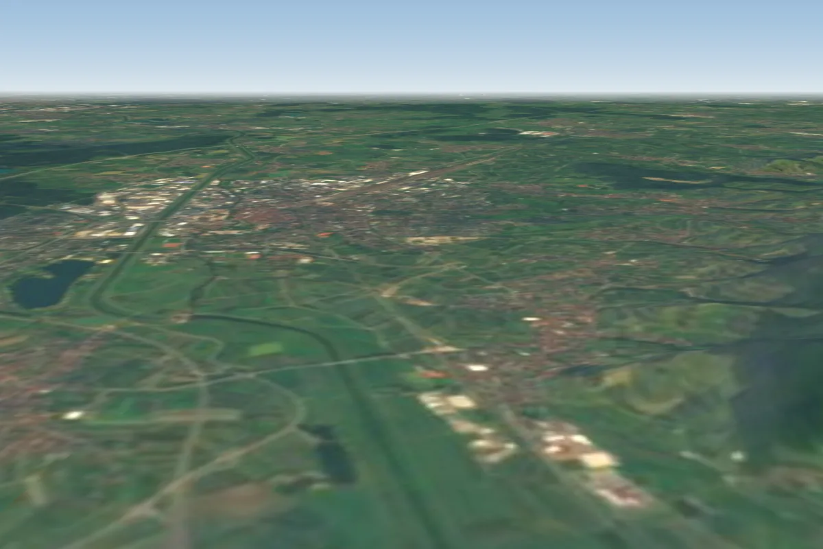 Flugplatz Ohlsbach3 km N
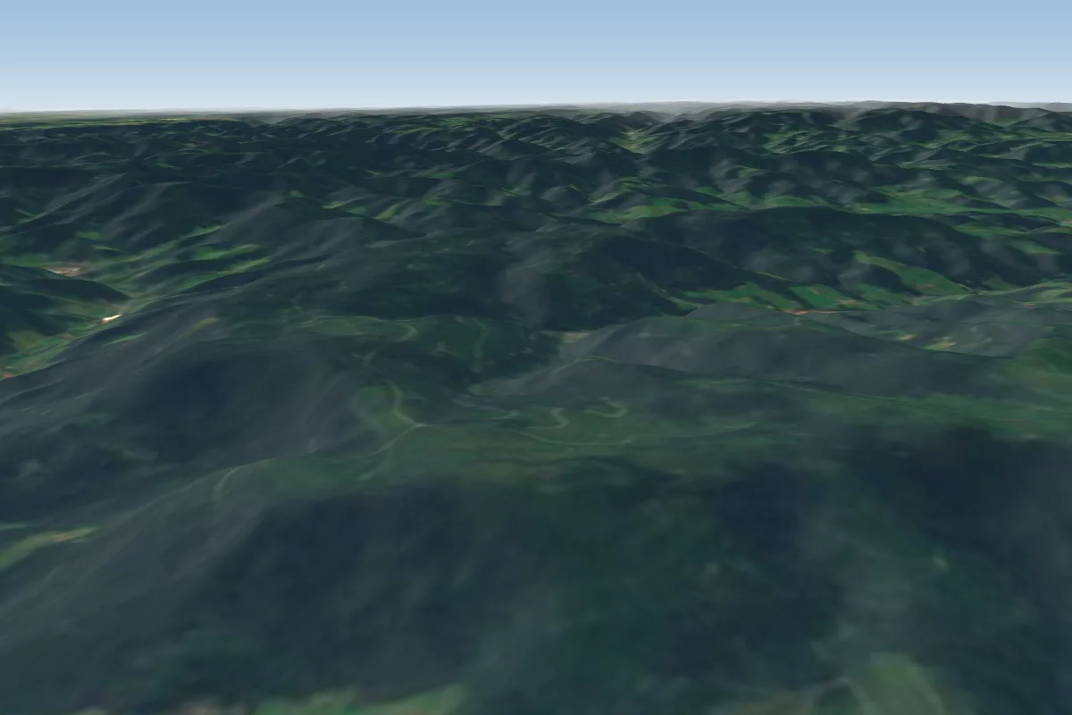 Oppenau Geroldseckle12 km NE · Faces NWWorks in other winds
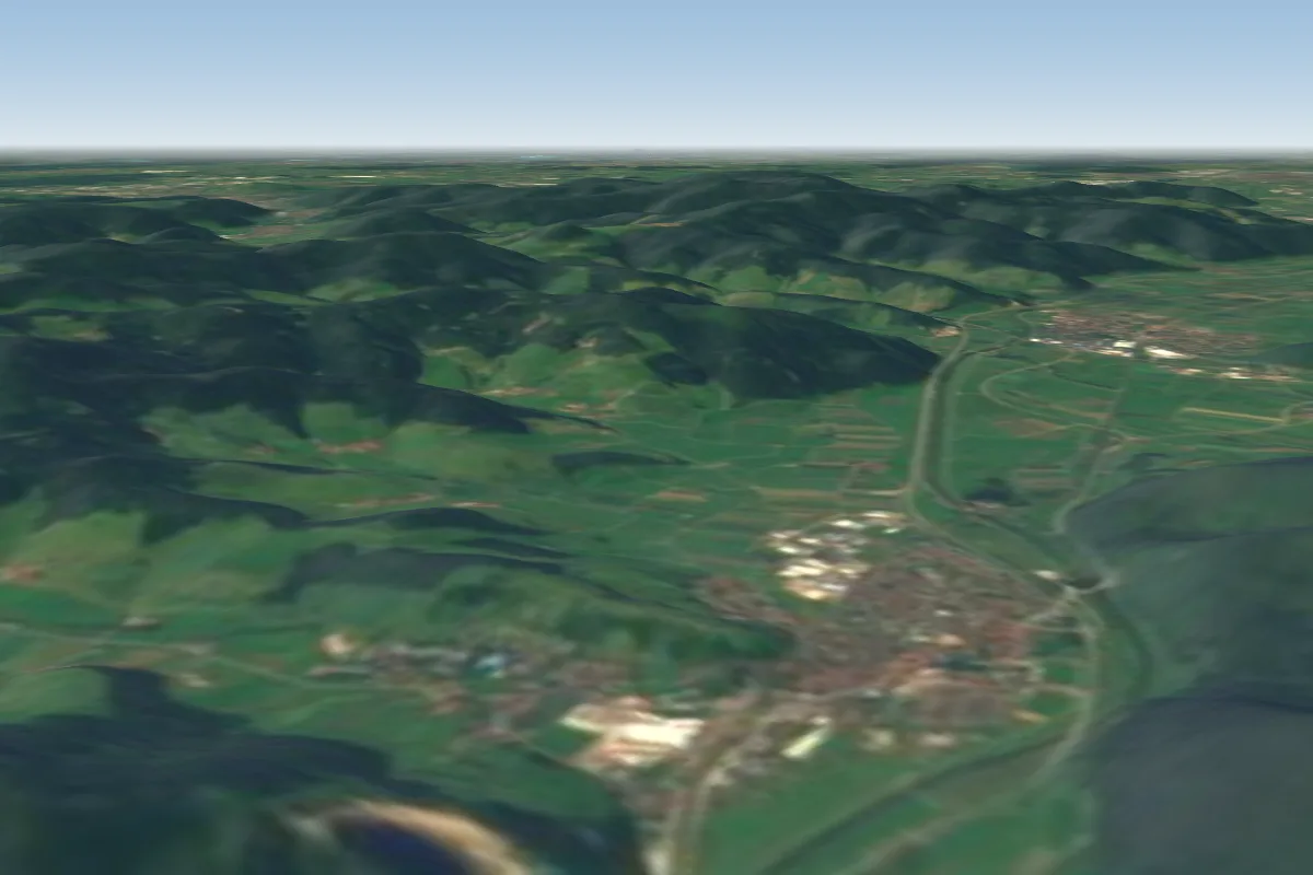 Rebenrain14 km SE
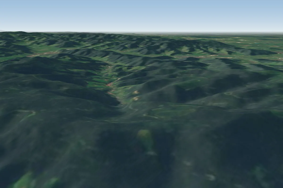 Oppenau NordOst14 km E · Faces NE
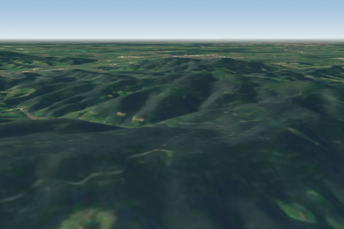 Oppenau Ost14 km E · Faces E–SE
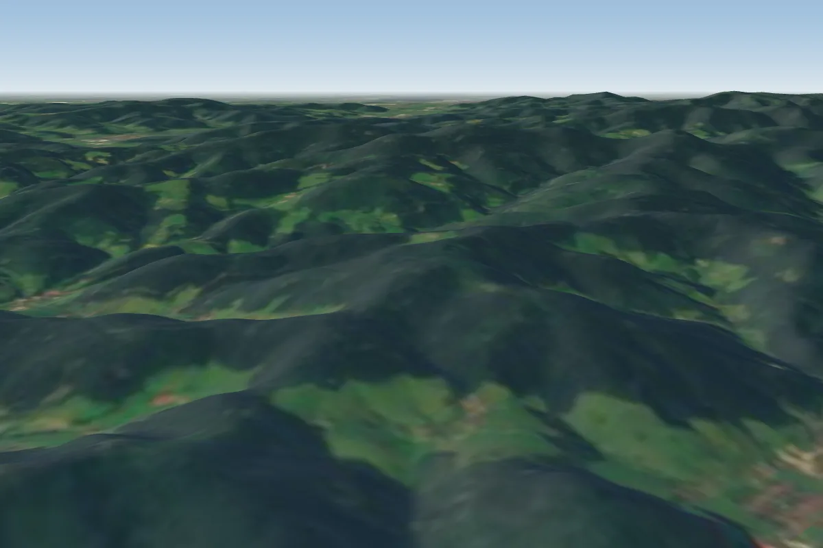 Kirchberg21 km SE
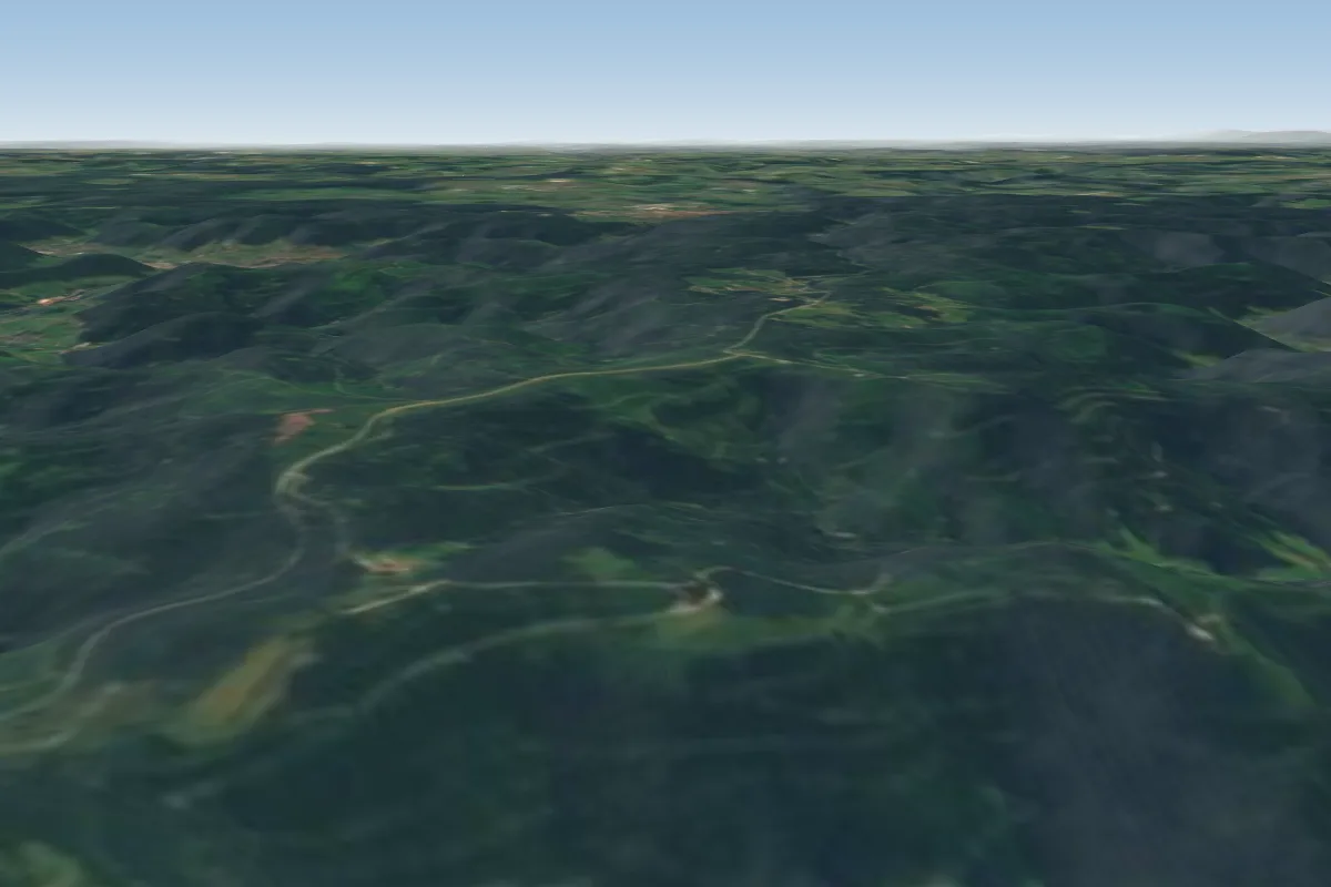 Oppenau Zuflucht/Rossbühl/Sandkopf22 km E · Faces S–WWorks in other winds
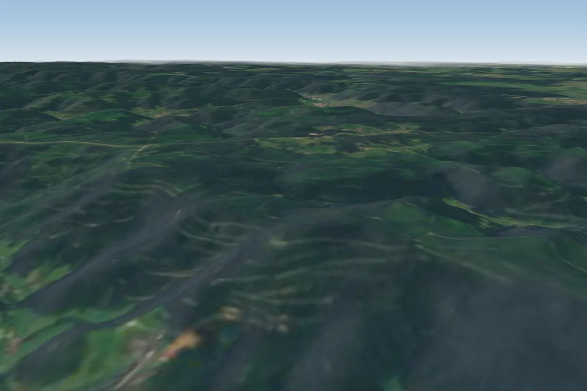 Bad Griesbach (Vogtmaiers-Kanzel)22 km E
More paragliding sites near Berghaupten
- Gschasi 26 km away
Pilot notes
No notes yet. Flown Berghaupten? Tell the next pilot what to expect.
Pilot notes on Berghaupten
Flying Berghaupten?
Takeoff, landing, rules, the hour by hour forecast and live wind are in the site details on the map.
Open site detailsSources
- ParaglidingEarth site record © ParaglidingEarth contributors (CC BY-SA)